
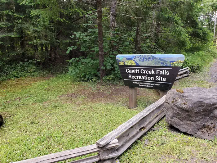
Cavitt Creek Falls Recreation Site
BLM · Campground · Fee
Fast facts
- Cost
- Fee charged
- Managed by
- BLM
- Type
- Campground
- Phone
- 541-440-4930
- Nearest dump station
- Aspen Point Dump Station · 69.8 mi
- Coordinates
- 43.2000, -123.0217
- Last verified
- September 19, 2026
About this place
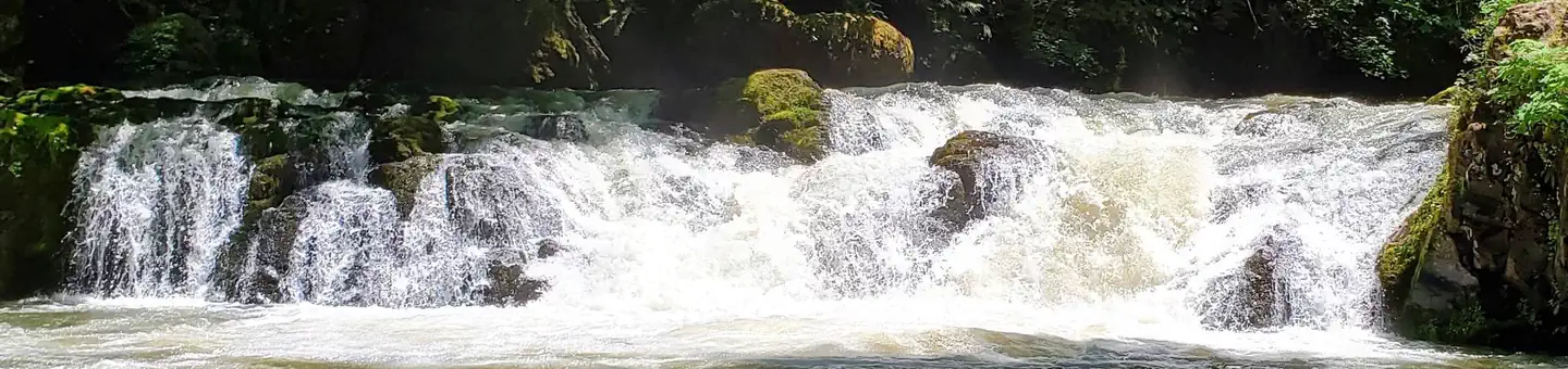
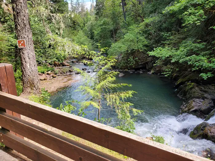
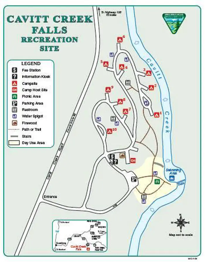
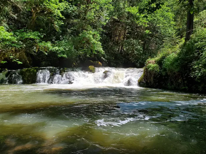
Overview Reservations must be made 1 day prior to arrival. Firewood is currently unavailable for purchase on site. Cavitt Creek Falls Recreation Site is a favorite of locals and off the beaten path of the North Umpqua corridor. Surrounded by a forest of fir, maple and cedar trees, the swimming hole at the base of a six foot waterfall on Cavitt Creeek is a welcome discovery on a hot day. Recreation Picnicing, relaxing, and swimming are the primary recreation activities taking place at Cavitt Creek Recreation Site. Cavitt Creek and Little River are open to trout fishing with artificial flies and lures only, from late May through mid September. Contact Oregon Department of Fish and Wildlife for their Oregon Sportfishing regulations and exact season dates. Facilities Cavitt Creek Campground is built on three terraced levels with varying access to all sites. Ten campsites, day use area with tables and grill, drinking water, vault restrooms, stairway to swimming area. Maximum 34-foot vehicle length Natural Features The gorgeous waterfall offers a sought after swimming hole during hot days and leaping salmon in the fall months. Located on the edge of the Umpqua National Forest, at an elevation of 1050', most sites and swimming area sit under a canopy of fir, maple, and cedar trees for a shaded area on the creek. Nearby Attractions Just a few miles up Little River Road you will find the Wolf Creek Falls Trailhead. The 1.2 mile long Wolf Creek Falls trail follows a picturesque stream through an old growth forest to a cascading two-tier waterfall. River flows vary throughout the year as the falls plummet over 50 and 75 foot high rock cliffs before plunging into deep pools. Within a short drive from the campground you can have opportunities for day of rafting on the North Umpqua, fishing, hiking, viewing waterfalls, or driving along the Rogue - Umpqua National Scenic Byway.
From the BLM.Official page
Is Cavitt Creek Falls Recreation Site free?
No. Cavitt Creek Falls Recreation Site charges a fee. It is managed by the BLM.
How do I get to Cavitt Creek Falls Recreation Site?
Cavitt Creek Falls Recreation Site is at 43.2000, -123.0217. We do not hold written directions for this one, so navigate to the coordinates.
Nearby
SourceData from the BLM. Last synced September 19, 2026. Community reports and photos are submitted by travelers and are not verified by the agency.
