
CAPE PERPETUA
Campground · Fee not listed
Fast facts
- Cost
- Not listed. Check locally.
- Type
- Campground
- Phone
- 541-547-4580
- Coordinates
- 44.2811, -124.1003
- Last verified
- September 19, 2026



About this place
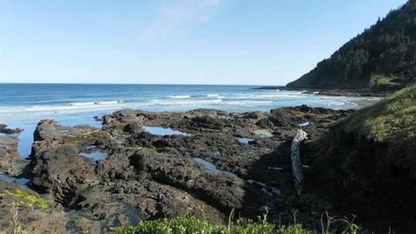
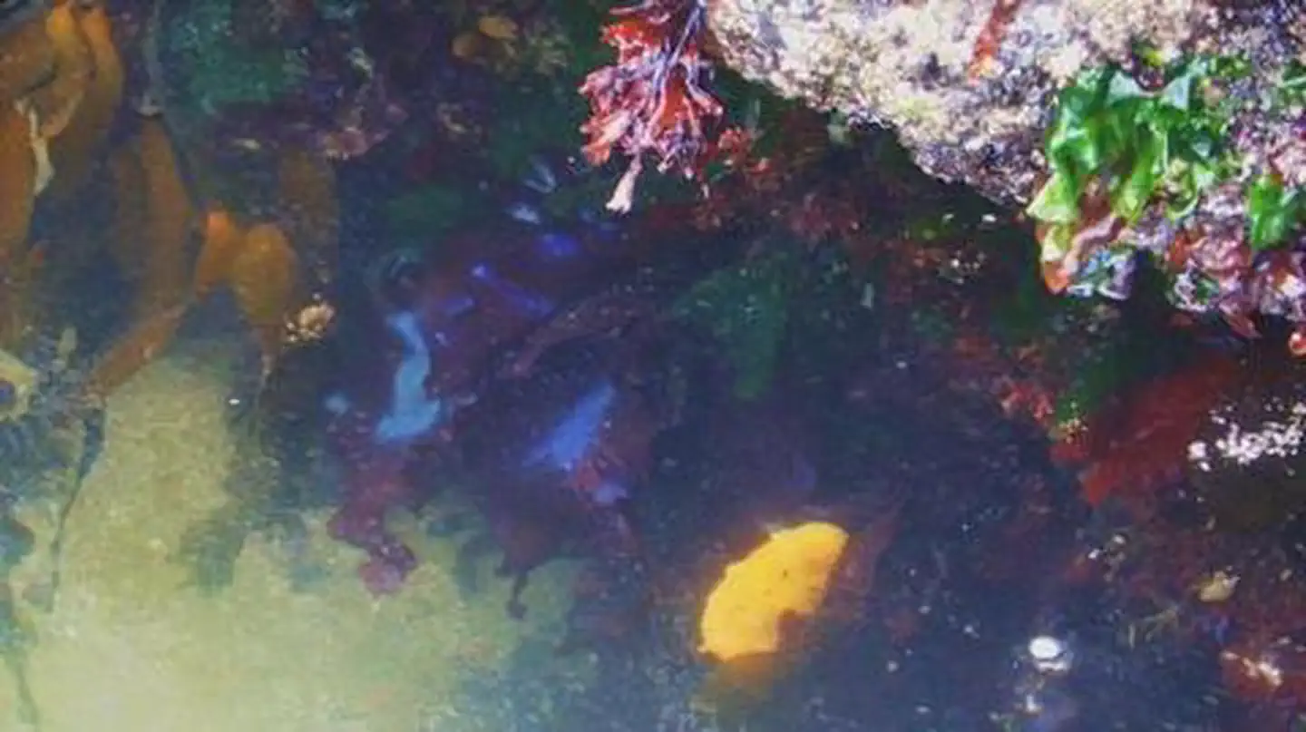
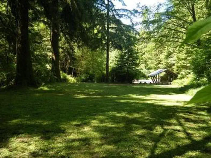
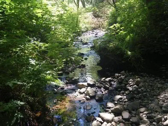
Overview Cape Perpetua Campground is nestled along the banks of Cape Creek, within reach of the beautiful Oregon Coast. The campground is esteemed for its incredible location between the forest and the beach, and for its easy access to impressive hiking trails and prime ocean views. Recreation Visitors enjoy relaxing on the shore and exploring tide pools. A 23-mile trail system surrounds the campground. Several paths lead through dense, old-growth forests and to rocky coastal overlooks. Facilities Many sites in the campground are situated along Cape Creek. Each site is equipped with a picnic table and campfire ring. Flush toilets and drinking water are provided. The Cape Perpetua Visitor Center is a short, moderate hike from the campground. The center has a phenomenal view of the ocean. A variety of short films are shown in the theater. The nearest dump station is located in Waldport, about 12 miles north of the campground. Another dump station can be found about 12 miles south at the Carl G. Washburn State Park. Natural Features The campground is surrounded by large Sitka spruce, Douglas fir and alder trees within the Siuslaw National Forest. When exploring the area, visitors will find steep cliffs, rolling hills, sand dunes and lush forests. Siuslaw is one of only two national forests bordering the Pacific Ocean. Contact Info For facility specific information, please call (801) 226-3564. Nearby Attractions Heceta Beach is located nearby, giving visitors the opportunity to enjoy the Pacific Ocean.
From the managing agency.
Is CAPE PERPETUA free?
We do not have a fee on record for CAPE PERPETUA. Confirm the cost locally before you go.
How do I get to CAPE PERPETUA?
CAPE PERPETUA is at 44.2811, -124.1003. We do not hold written directions for this one, so navigate to the coordinates.
Nearby
- Cape Perpetua Campground0.3 mi
- Tillicum Beach Campground5.9 mi
- TILLICUM6.0 mi
- Rock Creek Campground6.6 mi
- Rock Creek Oregon Coast (Siuslaw National Forest, OR)6.7 mi
- Alsea Group Site10.5 mi
- Canal Creek Group Campground10.5 mi
- CANAL CREEK11.6 mi
No other services within 50 mi on the record.
SourceSource data is agency published. Last synced September 19, 2026. Community reports and photos are submitted by travelers and are not verified by the agency.
