
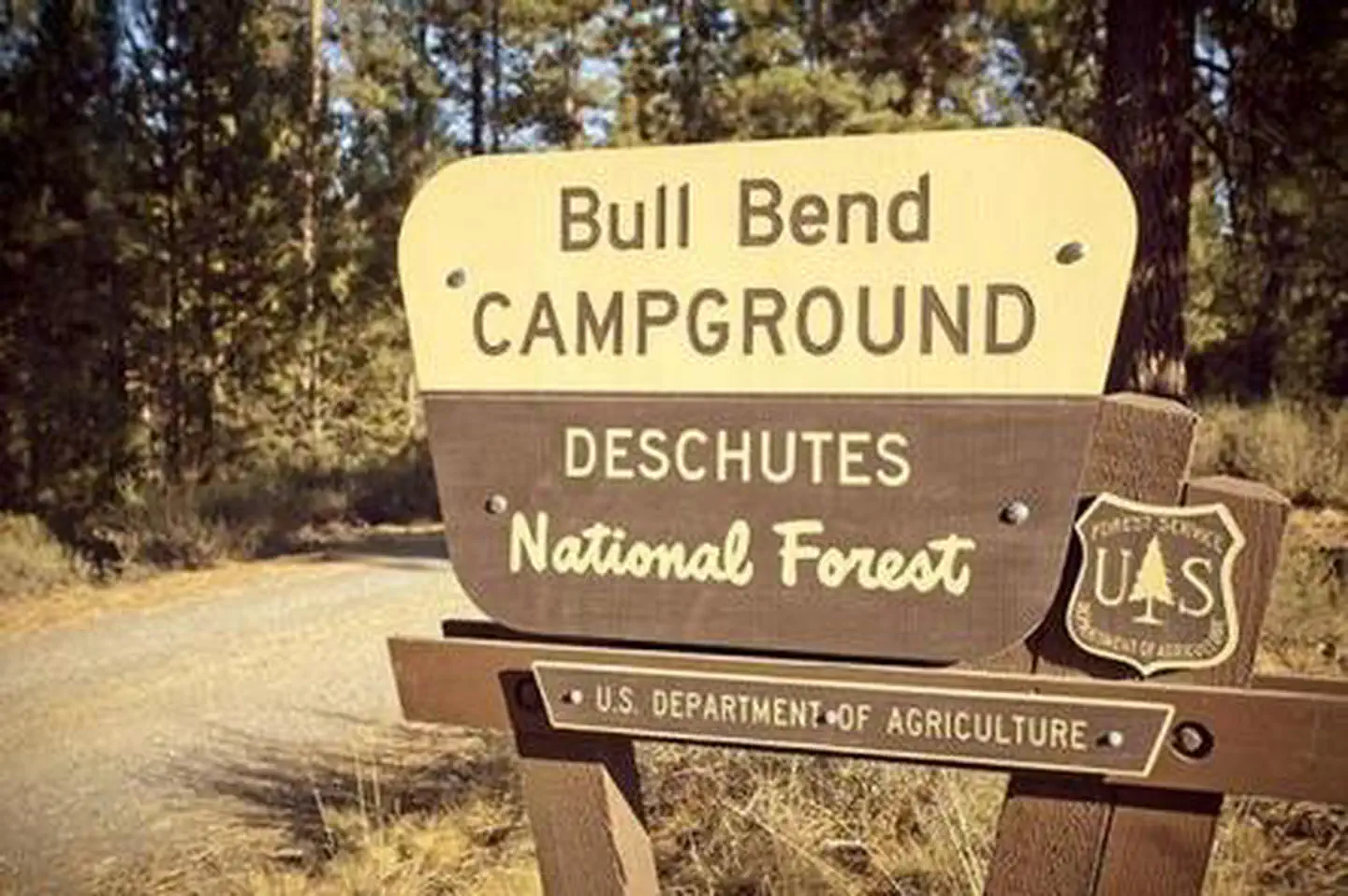
BULL BEND CAMPGROUND
USFS · Campground · Fee
Fast facts
- Cost
- Fee charged
- Managed by
- USFS
- Type
- Campground
- Hours
- Quiet hours are 10:00 p.m. until 6:00 a.m.
- Reservations
- recreation.gov
- Phone
- 541-323-1746
- Nearest dump station
- Aspen Point Dump Station · 97.2 mi
- Coordinates
- 43.7254, -121.6275
- Last verified
- September 19, 2026
About this place
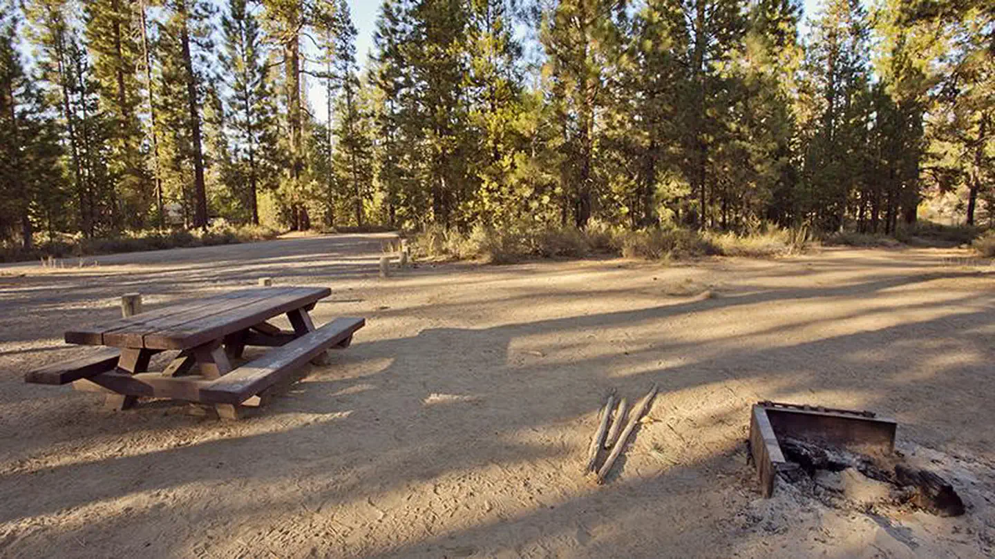
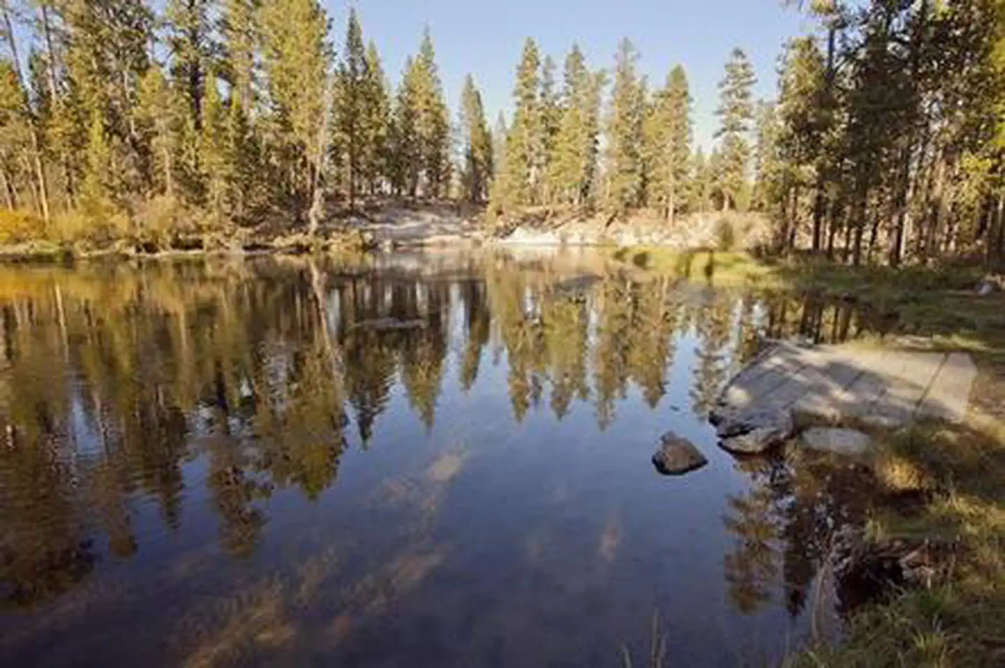
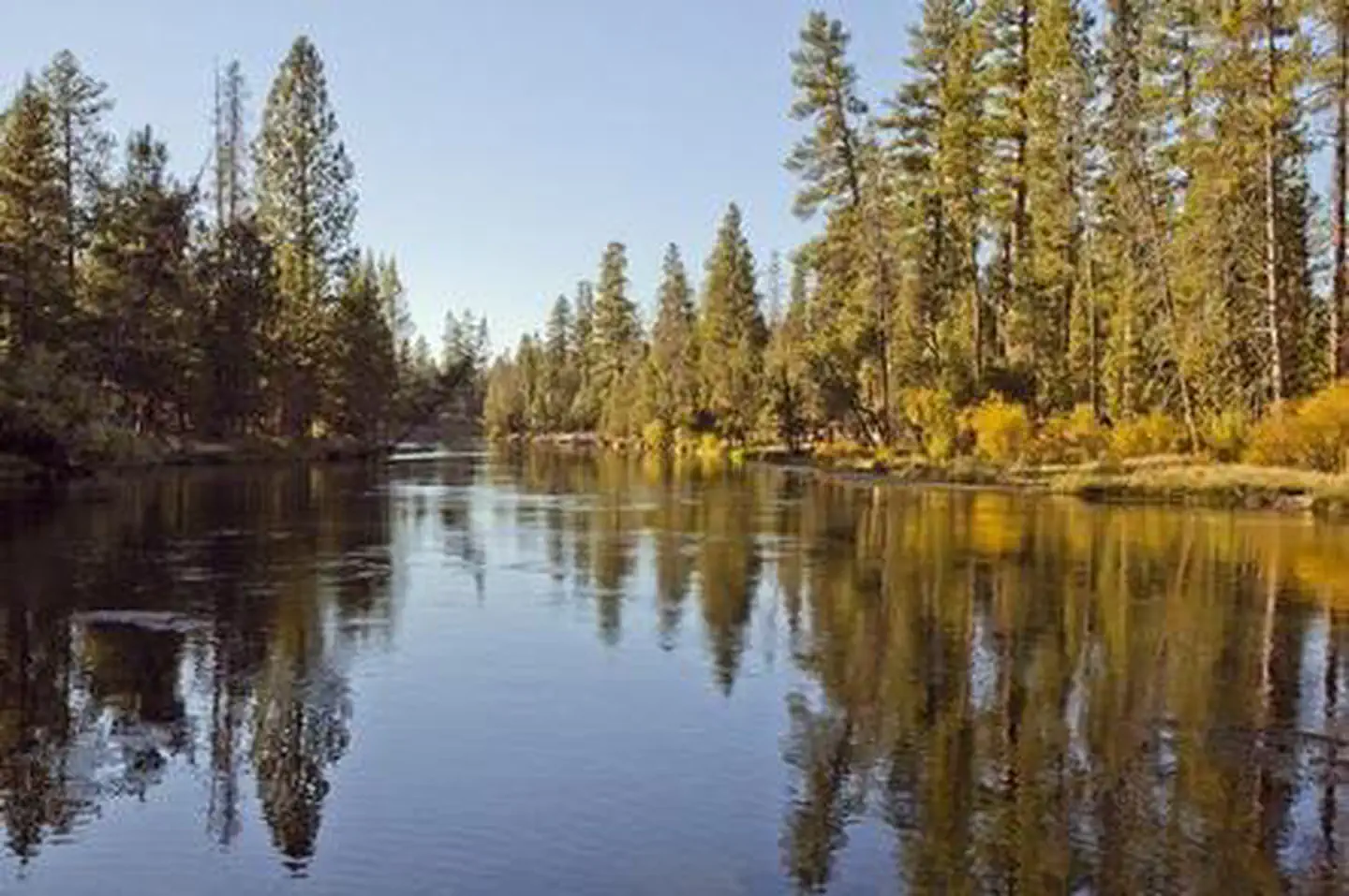
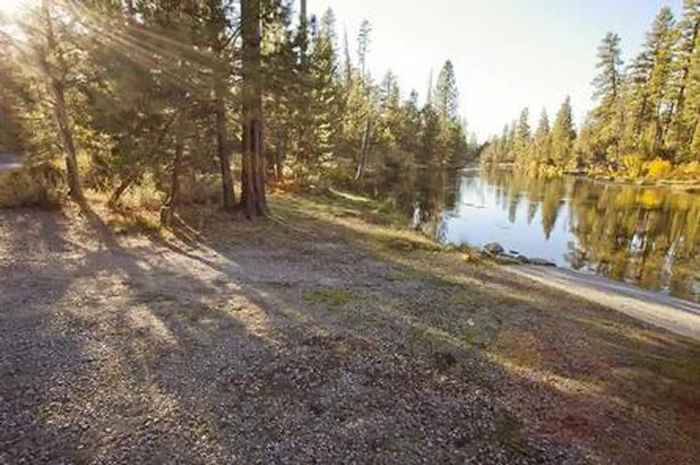
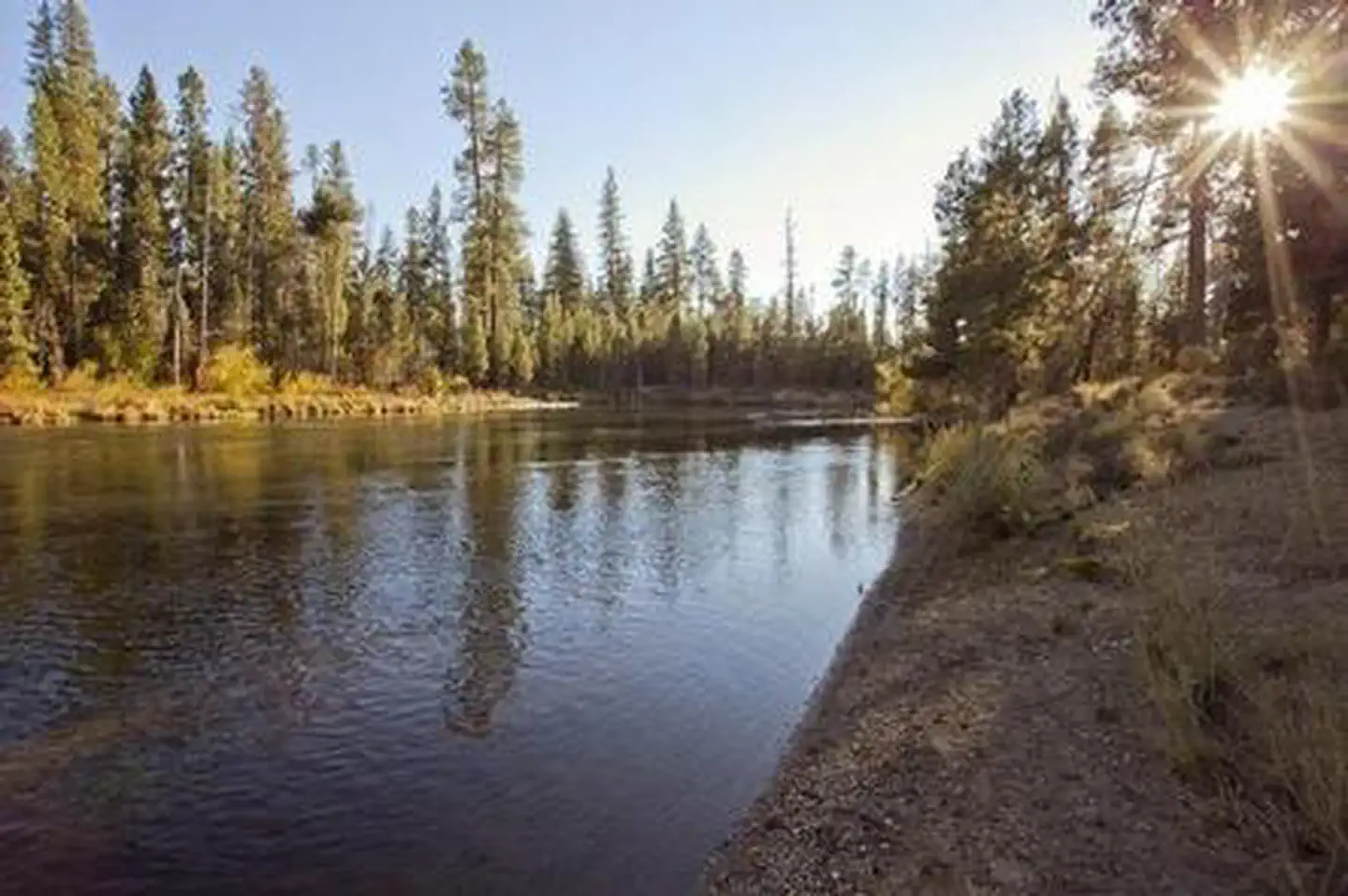
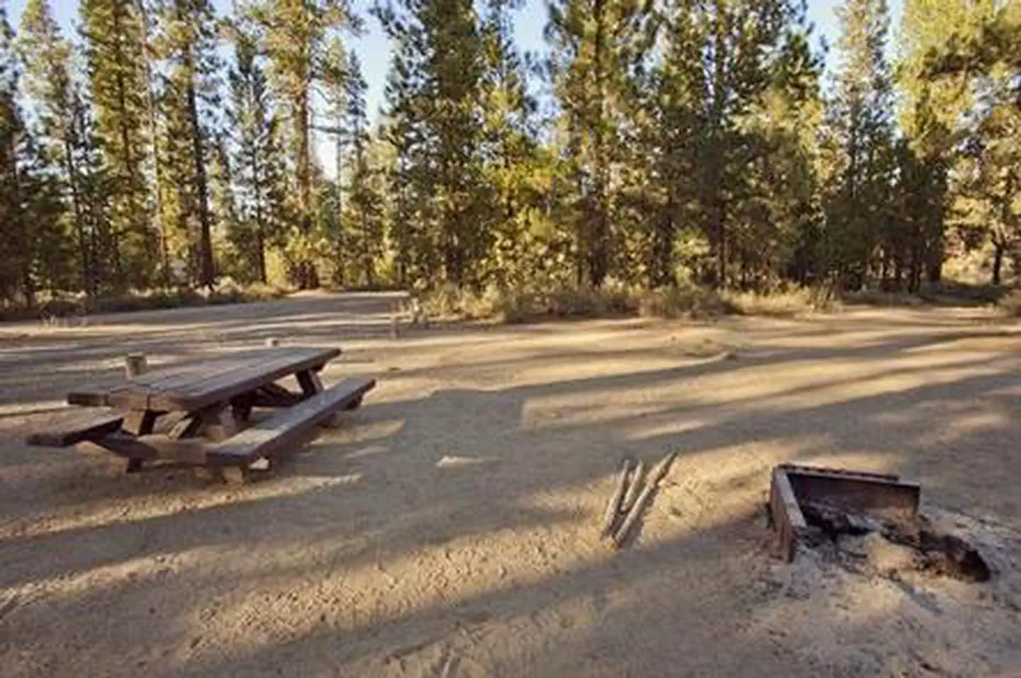
Overview Bull Bend is located along the Deschutes River just below the Wickiup Reservoir Dam. Recreation Bull Bend Campground offers a great location for fishermen. Fishing access is best found along the banks or using a non-motorized boat. Motorized boating is not permitted in the area. Facilities Bull Bend Campground can accommodate RV, trailer or tent-campers; however, electric and water hookups are not available. The campground does not have running water. All sites are equipped with a picnic table and fire pit. Vault toilets are available. Natural Features Bull Bend Campground is located on a small peninsula lined by the Deschutes River. Nearby Attractions Visitors can explore wilderness areas, rivers, lakes and reservoirs, and hundreds of miles of hiking trails. Newberry National Volcanic Monument offers a glimpse into Central Oregon's rich geologic history. Travel 25 miles to Lava Lands Visitor Center to explore exhibits at the interpretive center, attend a ranger talk, take in scenic views from the top of Lava Butte and travel one-mile underground through Lava River Cave. Travel 30 miles to Newberry Caldera to visit Paulina and East Lake, Paulina Peak and Paulina Falls. Bull Bend Campground offers easy access to the Cascade Lakes Scenic Byway which weaves through multiple high lakes with views of South Sister, Broken Top and Mt. Bachelor.
From the USFS.Official page
Is BULL BEND CAMPGROUND free?
No. BULL BEND CAMPGROUND charges a fee. It is managed by the USFS. Sites are reservable through recreation.gov.
How do I get to BULL BEND CAMPGROUND?
From Bend, OR: Travel 26.8 miles south on Highway 97 to Wickiup Junction, then; 10.5 miles west on County; Road 43, turn left on the 100 road. There is a sign there for Bull Bend. Follow the 100 road south approximately one mile and turn left at the sign which directs you to Bull Bend. Travel east about 1.5 miles until the road dead ends. Make a left and then in about a quarter mile you will turn right into the campground.
What are the rules at BULL BEND CAMPGROUND?
Maximum site spur length is 30 feet.
Nearby
SourceData from the USFS. Last synced September 19, 2026. Community reports and photos are submitted by travelers and are not verified by the agency.
