
BLUE BAY
Campground · Fee not listed
Fast facts
- Cost
- Not listed. Check locally.
- Type
- Campground
- Phone
- 541-323-1746
- Coordinates
- 44.4200, -121.7319
- Last verified
- September 19, 2026
About this place
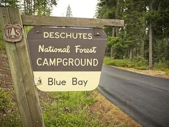
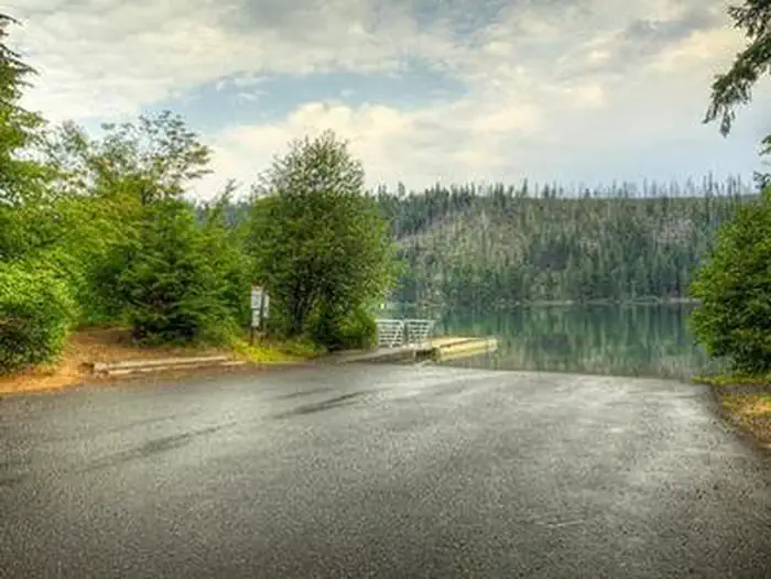
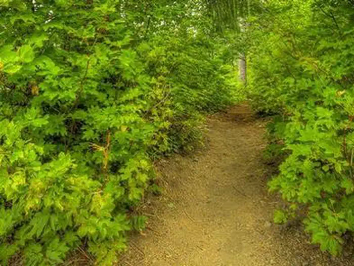
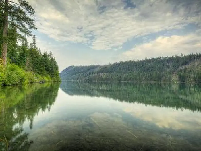
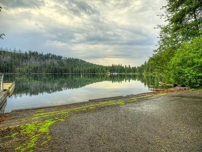
Overview Blue Bay Campground is situated in a diverse forest of pine and fir on the south shore of Suttle Lake in Deschutes National Forest. Its proximity to high alpine lakes, lush forests and towering peaks in nearby wilderness areas make it a popular destination for individual and group camping excursions. Recreation Popular activities in the area include hiking, fishing and motorized boating in the summer months, as well as cross-country skiing and snowshoeing in the winter. Numerous non-motorized trails can be accessed from the campground and in the surrounding area. The 3.2-mile Suttle Lake Loop Trail meanders through the developed recreation areas on Suttle Lake. The trail follows the wooded shoreline of the lake, providing opportunities for fishing or picnicking along the way. For fishing, boats are most commonly used on Suttle Lake. Float tubes are adequate, and wading is possible in some areas. A few areas are fishable from shore. The lake sustains an excellent population of naturally reproducing kokanee, brown trout, whitefish and crayfish. The campground has a shallow boat ramp area, and most campsites have easy access to the waterfront. Motorized and non-motorized boats are allowed on Suttle Lake. Facilities Blue Bay Campground offers standard sites that accommodate both tents and RVs, but no hookups are available. Picnic tables and campfire rings with grills are provided, as are vault toilets and drinking water. Natural Features Suttle Lake is surrounded by mixed conifer forest. Its waters are deep and clear, formed in a terminal moraine, deposited by glacial ice about 25,000 years ago. Lake Creek flows eastward from Suttle Lake to the Metolius River. The clear, cold Metolius flows north from headwater springs through diverse coniferous forests and a volcanic landscape with extinct volcanoes, cinder cones, calderas and ancient lava flows. Nearby Attractions Visitors can explore wilderness areas, lakes, reservoirs, wild and scenic rivers and approximately 1,600 miles of trails that comprise nearly 2.5 million acres within the Deschutes National Forest and the adjacent Ochoco National Forest.
From the managing agency.
Is BLUE BAY free?
We do not have a fee on record for BLUE BAY. Confirm the cost locally before you go.
How do I get to BLUE BAY?
BLUE BAY is at 44.4200, -121.7319. We do not hold written directions for this one, so navigate to the coordinates.
Nearby
- Blue Bay Campground0.1 mi
- South Shore Campground0.2 mi
- South Shore0.3 mi
- Scout Lake Campground0.8 mi
- Scout Lake1.0 mi
- LINK CREEK1.2 mi
- Link Creek Campground1.2 mi
- Jack Creek Campground4.8 mi
No other services within 50 mi on the record.
SourceSource data is agency published. Last synced September 19, 2026. Community reports and photos are submitted by travelers and are not verified by the agency.
