
SANDERS COVE
Campground · Fee not listed
Fast facts
- Cost
- Not listed. Check locally.
- Type
- Campground
- Phone
- 903-732-4955
- Coordinates
- 33.8408, -95.5342
- Last verified
- September 19, 2026
About this place
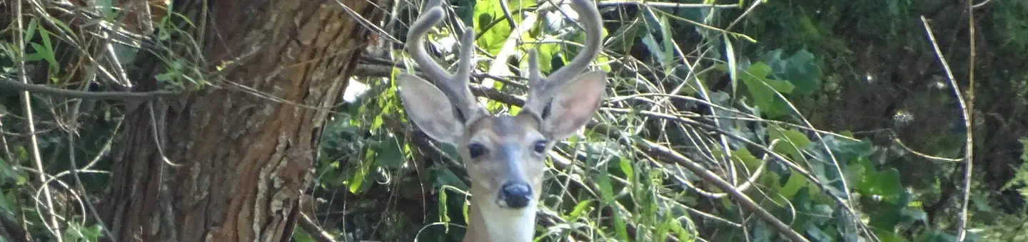
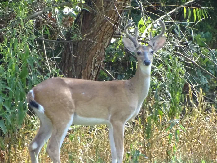
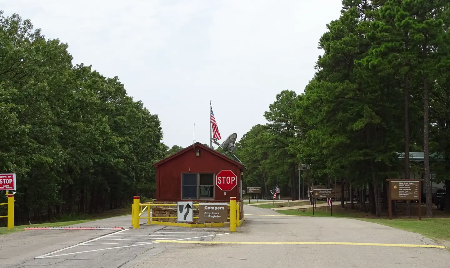
Overview Sanders Cove Campground is on the banks of Pat Mayse Lake in the Red River Basin in Lamar County, Texas. Easy access to developed park areas has made the lake a haven for families who enjoy camping, picnicking, swimming, boating, fishing and other outdoor recreation. Recreation The lake provides excellent opportunities for boating, swimming and fishing. Anglers fish for largemouth bass, white crappie, sunfish, striped bass and channel and flathead catfish, among other species. Hunting is a very popular activity in the area. The surrounding lands are managed for upland game and whitetail deer. Other species present include fox squirrel, gray squirrel, bobwhite quail, mourning dove, cottontail rabbit, raccoon and fox. Opossum, beaver, mink, skunk and nutria are also present. The lake also provides resting and feeding habitat for migratory waterfowl. A few miles north of the project area are the famed Red River Bottoms where waterfowl congregate in impressive numbers. Facilities This year-round campground offers 85 sites with electric hookups. Amenities include flush and pit toilets, showers, drinking water, a dump station and boat ramp. Natural Features Pat Mayse Lake covers almost 6,000 acres and has 67 miles of shoreline. It is situated among gently rolling grasslands and mixed hardwood forests studded with mature pines. Wildlife is abundant in the surrounding area.
From the managing agency.
Is SANDERS COVE free?
We do not have a fee on record for SANDERS COVE. Confirm the cost locally before you go.
How do I get to SANDERS COVE?
SANDERS COVE is at 33.8408, -95.5342. We do not hold written directions for this one, so navigate to the coordinates.
Nearby
- PAT MAYSE WEST4.2 mi
- KIAMICHI PARK14.0 mi
- VIRGIL POINT17.0 mi
- Mahaffey Point17.2 mi
- Wilson Point Pavilion17.6 mi
- West Lake Davy Crockett23.8 mi
- West Lake Crockett Campground23.8 mi
- Coffee Mill26.3 mi
No other services within 50 mi on the record.
SourceSource data is agency published. Last synced September 19, 2026. Community reports and photos are submitted by travelers and are not verified by the agency.
