
LEITH RUN
Campground · Fee
Fast facts
- Cost
- Fee charged
- Type
- Campground
- Phone
- 740-373-9055
- Coordinates
- 39.4457, -81.1512
- Last verified
- September 19, 2026
About this place
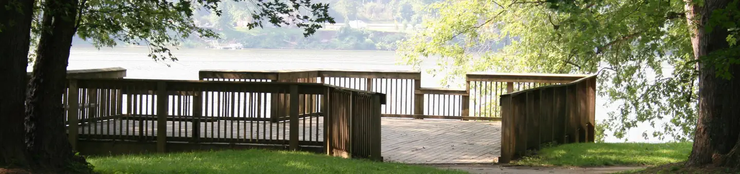
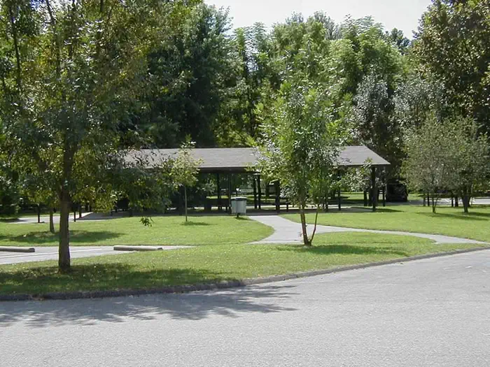
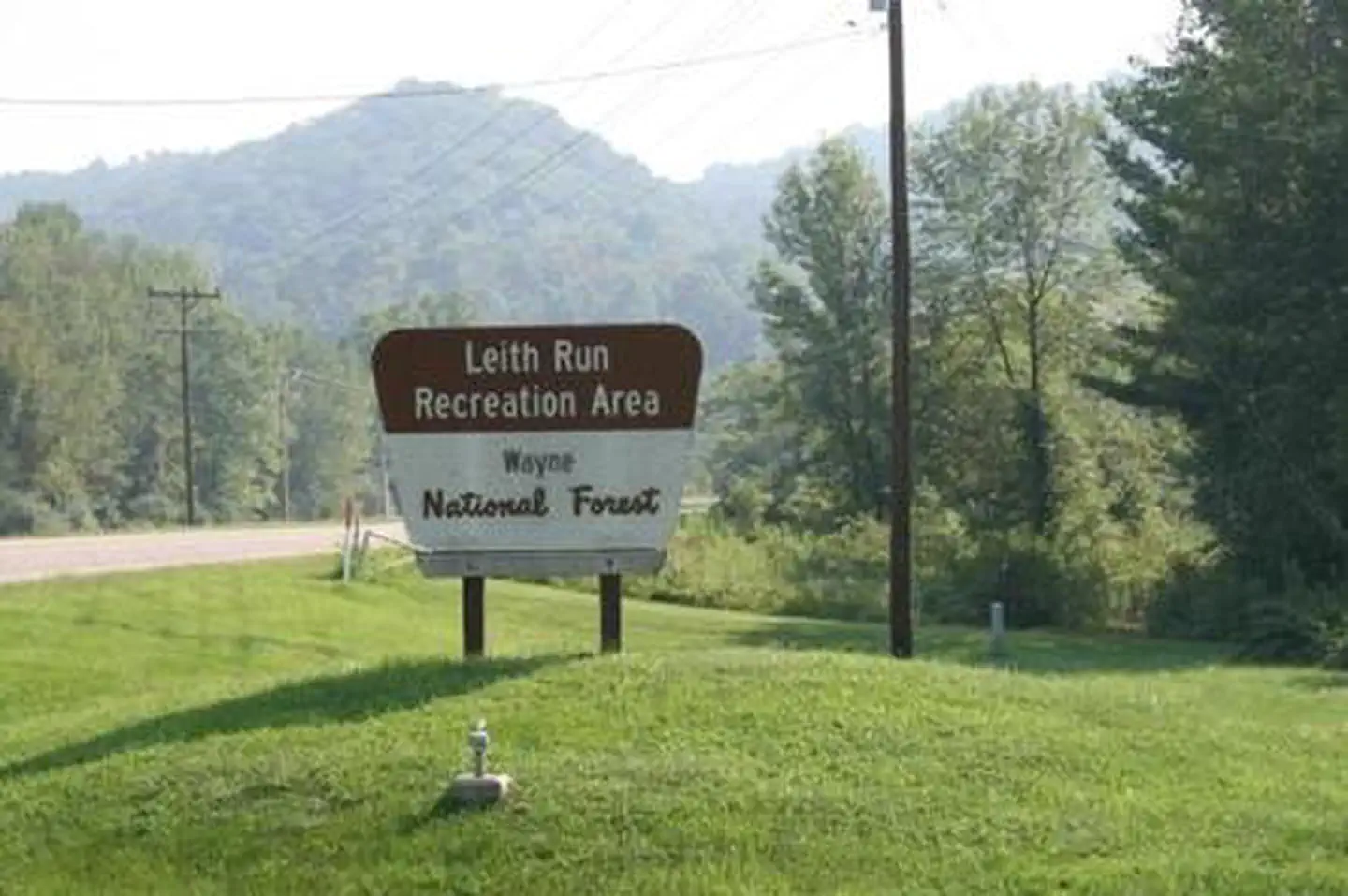
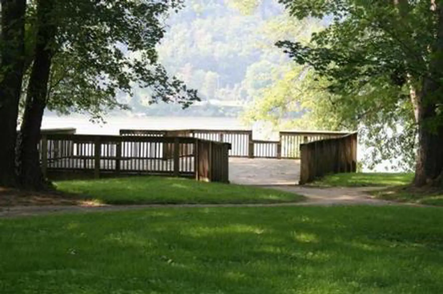
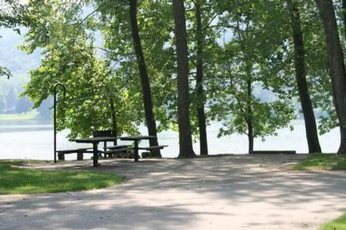
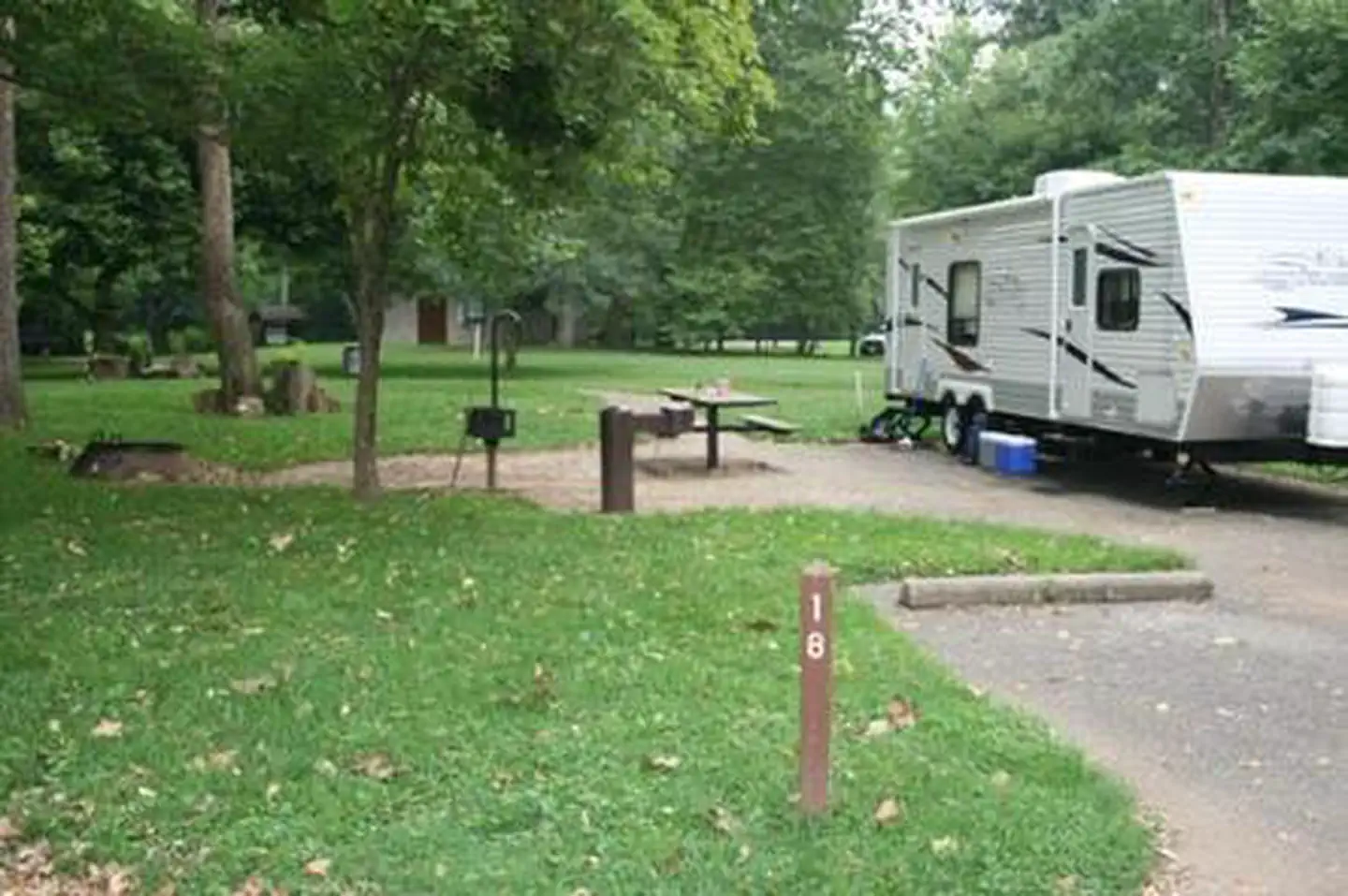
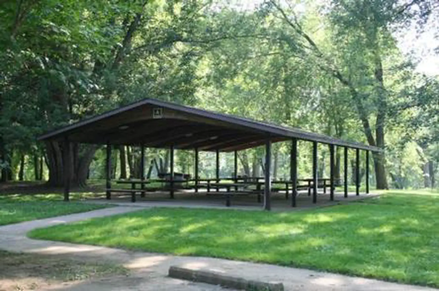
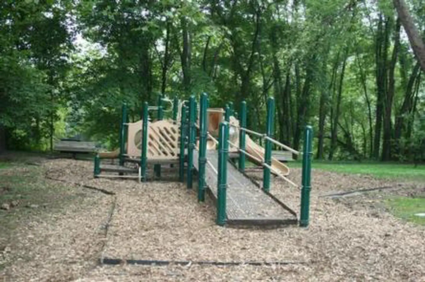
Overview Leith Run Campground provides a beautiful location on the Ohio River, where grassy campsites and picnic areas make for a comfortable getaway in the Wayne National Forest. The campground is equipped with modern conveniences like flush toilets and electricity. Recreation The campground provides access to the mighty Ohio River and the Willow Island Pool, where canoeing, kayaking, swimming and fishing are popular activities. A backwater estuary lies alongside the campground. A paved trail and a boardwalk with a gazebo offer not only wildlife viewing opportunities, but also an opportunity to access the estuary and surrounding wetlands area, where fishing is a favorite pastime. Anglers may catch bass, catfish and other species. Leith Run offers hiking opportunities, group picnic shelters and a playground for kids. A trailhead for the Scenic River Trail, which climbs to a bluff above the river, is available in the campground. Facilities Leith Run offers single-family campsites (accommodating up to eight individuals) and group picnic shelters, most of which are accessible. Picnic tables, campfire rings, grills and electric hookups are provided, as are accessible flush toilets, showers and drinking water. A dump station is on-site. An adjacent picnic area, complete with shelters, is equipped with tables, electricity and grills. It also offers a volleyball court, horseshoe pits, scenic overlooks and a playground. Natural Features The campground is located on the north banks of the beautiful Ohio River, just miles from the Ohio-West Virginia border, near the town of Newport, Ohio. A scenic hardwood-pine forest covers the campground, which has many waterfront sites. Nearby Attractions The Covered Bridge Scenic Byway passes by the campground and provides a romantic view of the countryside, complete with forested hills, open pastures and four 19th century covered bridges. Legend has it that it's a tradition for visitors passing over the covered bridges to hold their breath and make a wish.
From the managing agency.
Is LEITH RUN free?
No. LEITH RUN charges a fee.
How do I get to LEITH RUN?
LEITH RUN is at 39.4457, -81.1512. We do not hold written directions for this one, so navigate to the coordinates.
Nearby
- Leith Run Campground0.2 mi
- Hune Bridge Campground6.9 mi
- Lamping Homestead Campground12.9 mi
- Burr Oak Cove Campground49.0 mi
No other services within 50 mi on the record.
SourceSource data is agency published. Last synced September 19, 2026. Community reports and photos are submitted by travelers and are not verified by the agency.
