
IRON RIDGE - LAKE VESUVIUS
Campground · Fee
Fast facts
- Cost
- Fee charged
- Type
- Campground
- Phone
- 740-534-6500
- Coordinates
- 38.6108, -82.6151
- Last verified
- September 19, 2026

About this place
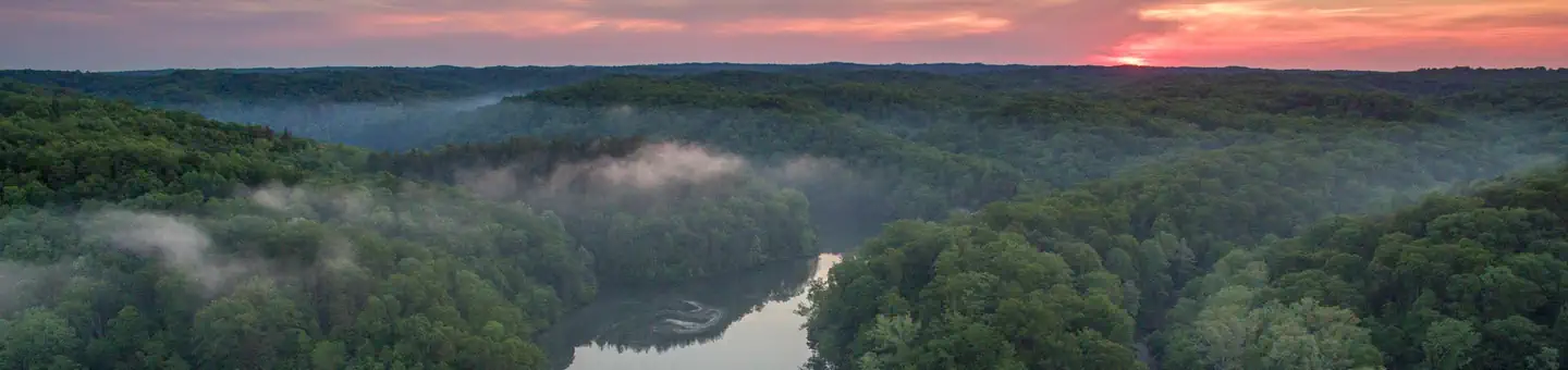
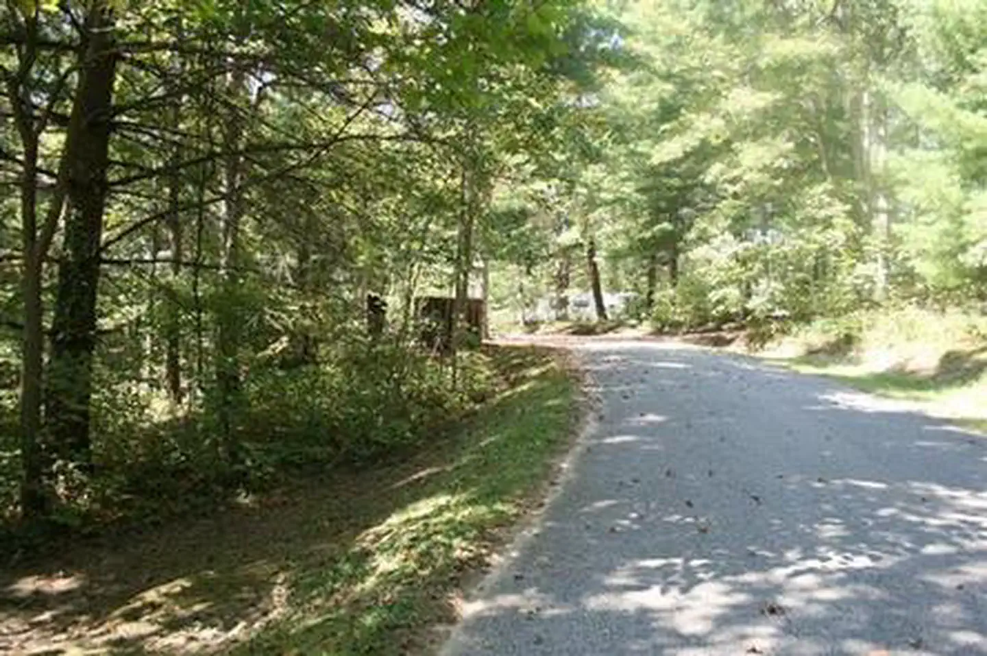
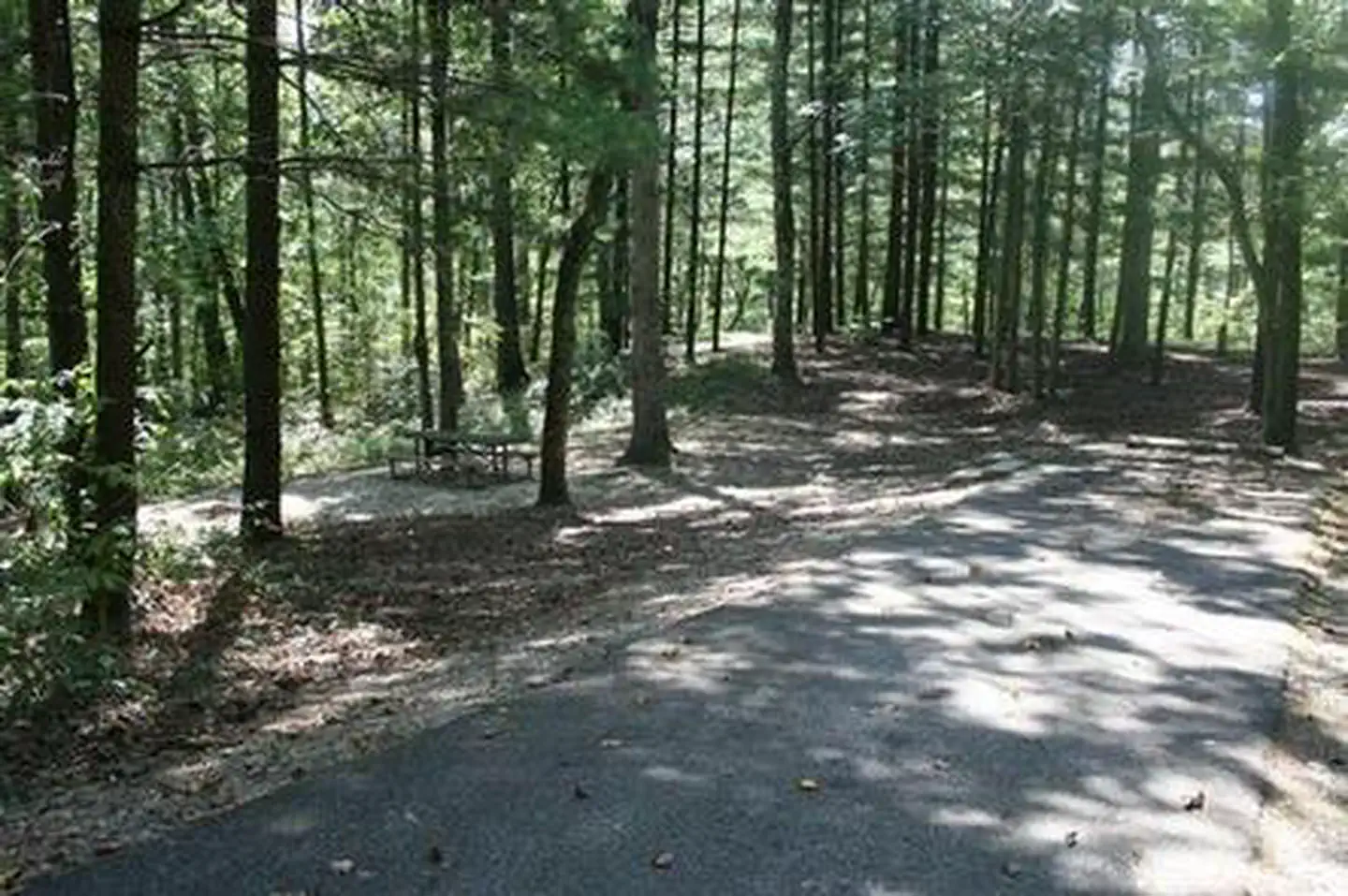
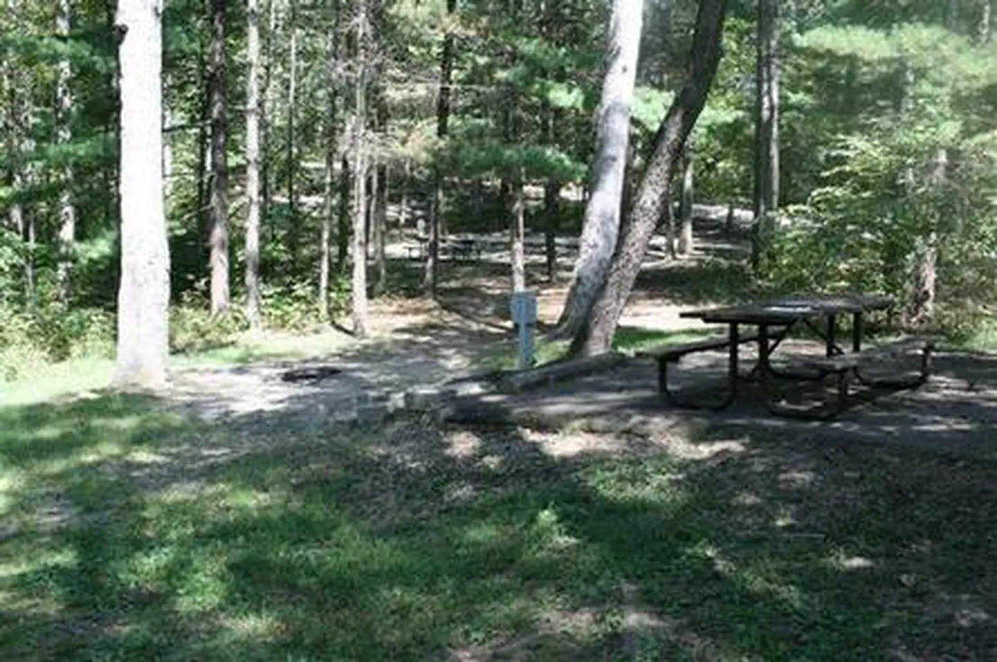
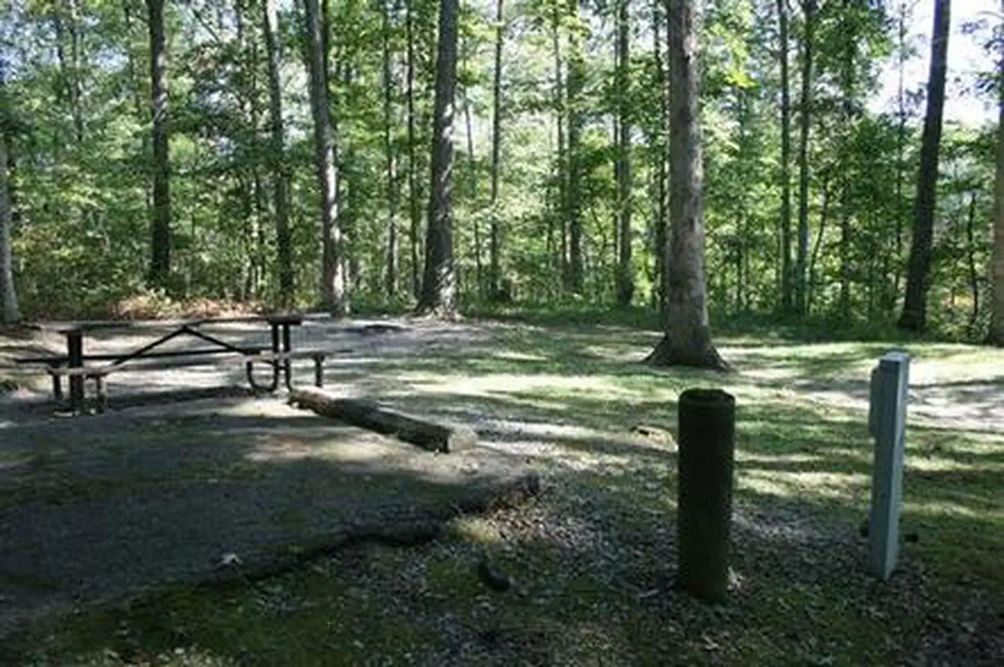
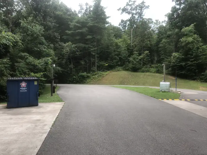
Overview Iron Ridge is one of two campgrounds in the Vesuvius Recreation Area in southeastern Ohio's Wayne National Forest. Iron Ridge offers a great location for outdoor recreation, with activities like boating, swimming and fishing on Lake Vesuvius. Horseback riding and hiking are also available in the rolling hills surrounding the campground. Recreation Boating, fishing and swimming on Lake Vesuvius are the area's most popular activities. Anglers may catch bass, catfish, crappie or bluegill. More than 40 miles of trails exist in the area, with trailheads beginning at or near the campground. A 1/2-mile hiking trail connects the campground to Lake Vesuvius. Lake Shore Trail offers an 8-mile loop around the lake and shorter trails lead to Rock House Cave, a grand, tunnel-like sandstone cave that was once used by Native Americans for shelter. Facilities The campground offers multiple sites for RV camping, many of which have electric hookups. Some first-come, first-serve sites are also available. Each campsite can accommodate up to eight individuals. Each site is equipped with a picnic table and campfire ring with grill. The campground has accessible flush toilets, showers and drinking water. Campsites 9, 19, 20, 21, 23, 24, 25, 26, and 27 all have access to shared water spigots, while all other campsites have their own individual water-hookups. A dump station is located on-site. Natural Features Iron Ridge Campground is located on a wooded ridge above 143-acre Lake Vesuvius. A scenic forest of mature eastern hardwoods covers the area. Nearby Attractions The closest town is Ironton, Ohio, less than 10 miles from the campground.
From the managing agency.
Is IRON RIDGE - LAKE VESUVIUS free?
No. IRON RIDGE - LAKE VESUVIUS charges a fee.
How do I get to IRON RIDGE - LAKE VESUVIUS?
IRON RIDGE - LAKE VESUVIUS is at 38.6108, -82.6151. We do not hold written directions for this one, so navigate to the coordinates.
Nearby
- Iron Ridge Campground0.0 mi
- LAKE VESUVIUS RECREATION AREA0.9 mi
- Oak Hill Campground1.0 mi
- OAK HILL - LAKE VESUVIUS1.1 mi
- Two Points Group Campground1.2 mi
- Paddle Creek Horse Campground2.2 mi
- BEECH FORK SHELTERS23.7 mi
- GRAYSON LAKE DAMSITE SHELTERS31.8 mi
No other services within 50 mi on the record.
SourceSource data is agency published. Last synced September 19, 2026. Community reports and photos are submitted by travelers and are not verified by the agency.
