
DELAWARE LAKE DAMSITE SHELTERS
Campground · Fee
Fast facts
- Cost
- Fee charged
- Type
- Campground
- Coordinates
- 40.3586, -83.0692
- Last verified
- September 19, 2026
About this place
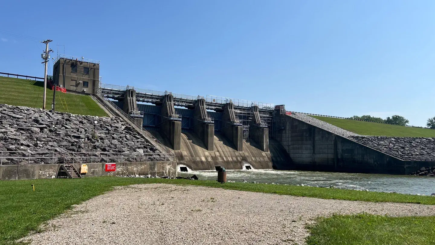
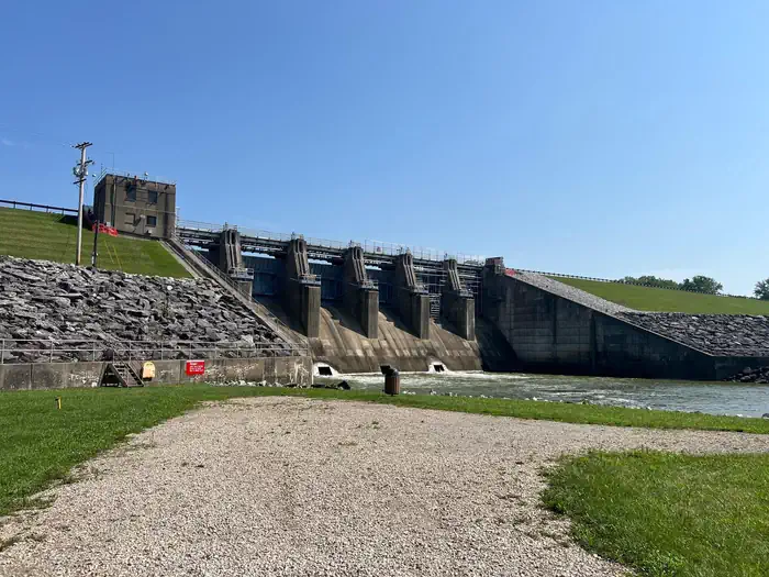
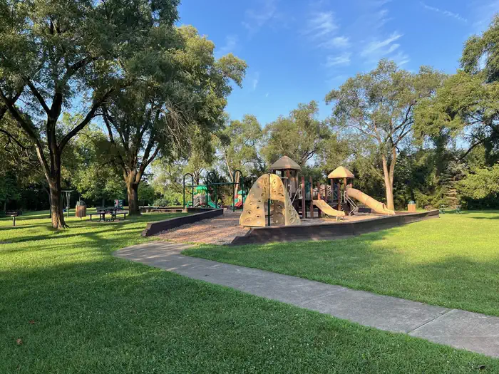
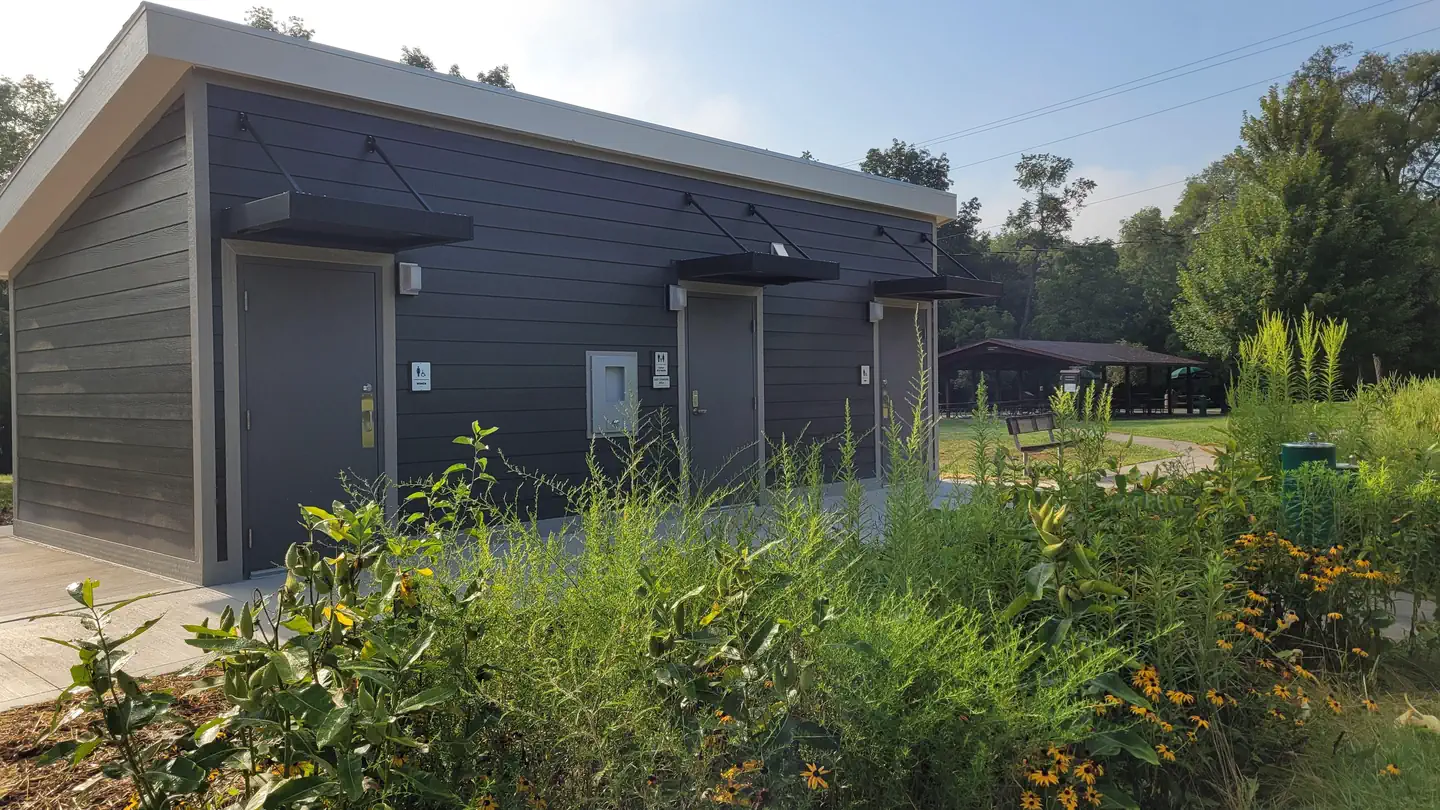
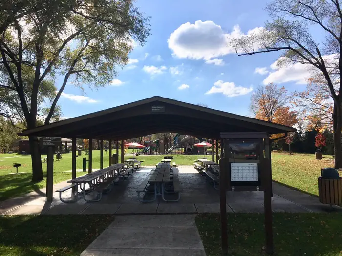
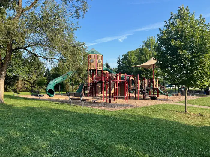
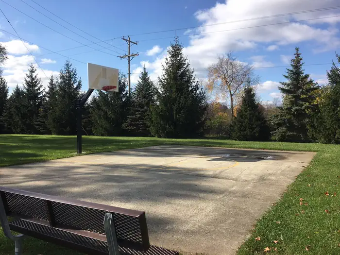
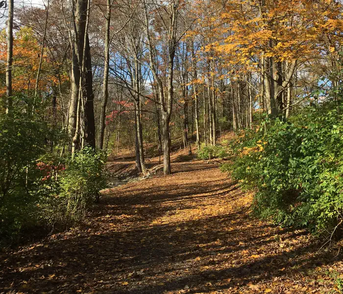
Overview Both picnic shelters at Dam Site Recreation Area make for a pleasant getaway at Delaware Lake. Shady Ridge Shelter is nestled under elms atop a grassy ridge, providing privacy from surrounding areas, while Elm Grove Shelter is cradled between rows of trees just 50 ft. from the parking area. Recreation Pack a picnic or fire up the grill with friends and family. Anglers might want to bring their rods and take advantage of excellent fishing opportunities on the river below the dam. In addition, the Division of Wildlife stocks fishing ponds in the 4,670-acre wildlife area adjacent to Delaware State Park. Facilities Both picnic shelters provide water and electric hookups, playgrounds, a volleyball court and easy access to restrooms. An open grassy space is ideal for field sports like soccer. Shady Ridge provides more privacy, while Elm Grove boasts a textured patio with pedestal tables and a group grill. Natural Features Both reservable shelters are near the dam on Delaware Lake in central Ohio. The lake is hugged by forests, which provide a habitat for groundhogs, pheasants and white-tailed deer. Contact Info For facility specific information, please call (740) 363-4011. Nearby Attractions Delaware State Park is just over a mile from the picnic shelters and offers lots of activities, from jet skiing to disc golf. A series of low-intensity hiking trails, ranging from .25 miles to 1.6 miles, traverse the area and connect with the lakeshore.
From the managing agency.
Is DELAWARE LAKE DAMSITE SHELTERS free?
No. DELAWARE LAKE DAMSITE SHELTERS charges a fee.
How do I get to DELAWARE LAKE DAMSITE SHELTERS?
DELAWARE LAKE DAMSITE SHELTERS is at 40.3586, -83.0692. We do not hold written directions for this one, so navigate to the coordinates.
Nearby
- ALUM CREEK BELOW DAM AREA13.9 mi
- North Branch Kokosing River Lake - Campground27.7 mi
- CJ BROWN DAM AND RESERVOIR - DAM SITE (OH)45.4 mi
No other services within 50 mi on the record.
SourceSource data is agency published. Last synced September 19, 2026. Community reports and photos are submitted by travelers and are not verified by the agency.
