
DEER CREEK LAKE DAY USE
Campground · Fee not listed
Fast facts
- Cost
- Not listed. Check locally.
- Type
- Campground
- Phone
- 740-869-2243
- Coordinates
- 39.6192, -83.2158
- Last verified
- September 19, 2026
About this place
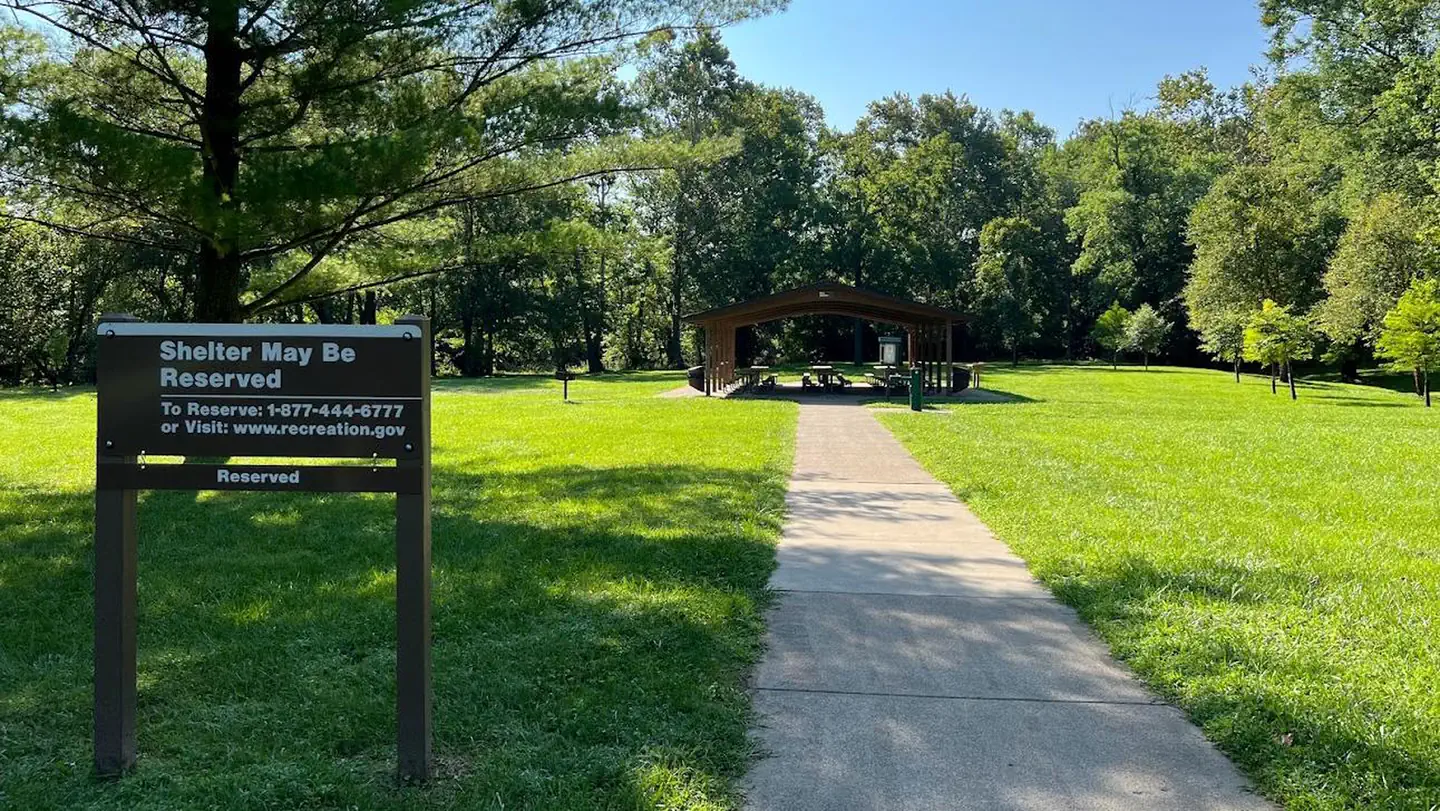
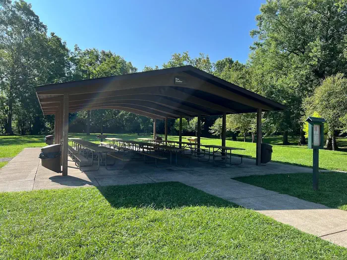
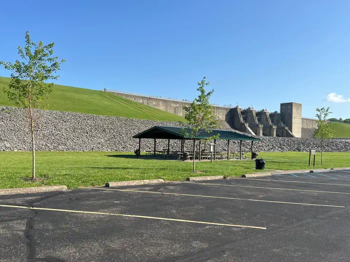
Overview Deer Creek Lake Day Use Area is located just below the dam at Deer Creek Lake, 35 miles southwest of Columbus, Ohio. The lake provides an ideal location for boating, fishing, camping, hiking and hunting. Recreation The lake is a prime location for boating and swimming. Boat ramps and docks are scattered at various parks around the lake. Fishing is a very popular activity. Bluegill, white crappie, channel catfish, saugeye, white, largemouth, smallmouth and rock bass, carp, bullhead and flathead catfish are the major sport species found in the lake. Facilities Deer Creek offers two group day-use picnic shelters located below the dam, 40 yards from a creek popular for fishing. Both are accessible and can accommodate up to 100 guests each. Natural Features Deer Creek Lake is situated among gently rolling hills in south central Ohio. The area is forested with a variety of hardwoods, including oak, hickory, elm, black walnut, ash, maple and sycamore. An abundance of wildlife inhabits the area around the lake, including ring-necked pheasant, cottontail rabbit, squirrel, white-tailed deer, wild turkey, raccoon, mink, red fox, skunk, coyote and beaver. Red-tailed hawks, Northern harriers and American kestrels are also common sights.
From the managing agency.
Is DEER CREEK LAKE DAY USE free?
We do not have a fee on record for DEER CREEK LAKE DAY USE. Confirm the cost locally before you go.
How do I get to DEER CREEK LAKE DAY USE?
DEER CREEK LAKE DAY USE is at 39.6192, -83.2158. We do not hold written directions for this one, so navigate to the coordinates.
Nearby
- PAINT CREEK DAM SITE26.9 mi
- CJ BROWN DAM AND RESERVOIR - DAM SITE (OH)36.7 mi
- ALUM CREEK BELOW DAM AREA40.9 mi
- Caesar Creek Lake46.4 mi
No other services within 50 mi on the record.
SourceSource data is agency published. Last synced September 19, 2026. Community reports and photos are submitted by travelers and are not verified by the agency.
