
Silver Lake Campground
USFS · Campground · Fee
Fast facts
- Cost
- Fee charged
- Managed by
- USFS
- Type
- Campground
- Hours
- Open 24 hours/day
- Reservations
- fs.usda.gov
- Phone
- 802-767-4261
- Coordinates
- 43.8971, -73.0501
- Last verified
- September 19, 2026
About this place
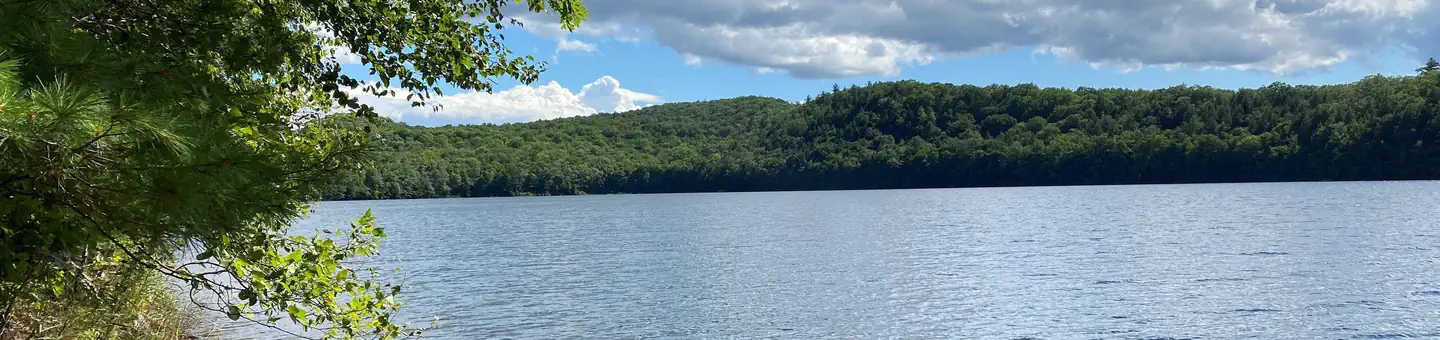
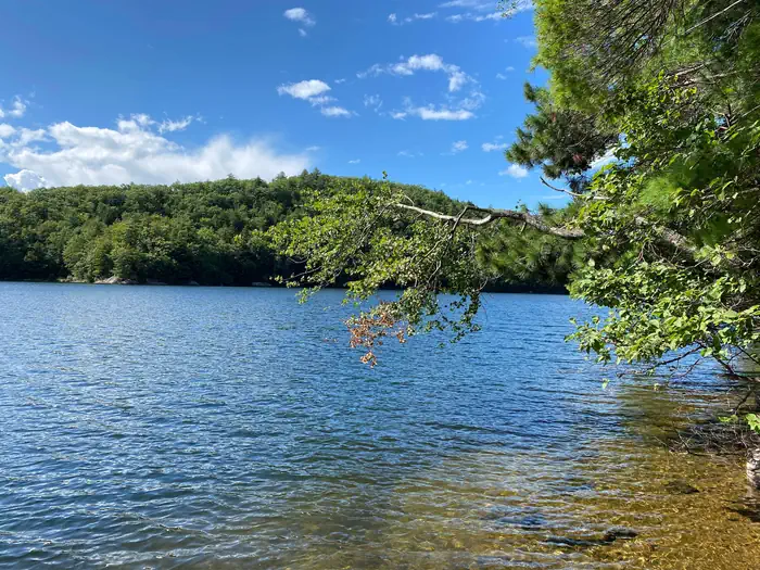
Overview Silver Lake Campground is a small, primitive hike or bike-in only campground located on Silver Lake in Leicester, VT. There are 15 campsites, seven of which are available for advanced reservations along with eight first-come, first-served sites. It is a 0.6 mile hike in or a 1.5 mile bike ride in to access the campground. Please note: This Silver Lake Campground is located in Vermont. Recreation The Moosalamoo National Recreation Area consists of 16,000 acres abounding with recreation opportunities. With over 70 miles of well-maintained trails, mountain vistas, waterfalls, lakes and streams, it offers opportunities for hiking, mountain biking, kayaking, swimming, fishing, hunting and more. From Silver Lake Campground, several hiking and mountain biking trails begin, including the Leicester Hollow / Chandler Ridge loop (open to hiking and biking) and the Rattlesnake Cliff / Aunt Jenny hiking loop (closed March 15 - August 1 for Peregrine Falcon nesting). Fishing and swimming are both popular activities accessible from the campground. Facilities There are two vault toilets and a spring (treat or boil water) within the campground. To access each campsite you must hike or bike-in, including all your gear . Each campsite has a fire ring, picnic table and a bear-proof food storage locker. There is no garbage service available; please carry out what you carry in. Natural Features Silver Lake is a gorgeous 100-acre lake surrounded by National Forest on all sides. It has attracted people for many generations and, along with its natural beauty, holds a strong sense of history. Long before the famous Silver Lake Hotel and religious retreat located on the site of today's picnic area, ancestors of today's Abenaki people were here enjoying the peace and beauty. Nearby Attractions The nearest available shopping and dining is in Brandon, located nine miles from the campground. Also nearby is Middlebury (17 miles from the campground), which offers many additional options.
From the USFS.
Is Silver Lake Campground free?
No. Silver Lake Campground charges a fee. It is managed by the USFS. Sites are reservable through fs.usda.gov.
How do I get to Silver Lake Campground?
From Middlebury, travel south on Route 7 to the Junction of Route 125. Travel east on Route 125 for 6.8 miles and turn right onto Forest Road 32. Follow FR 32 for 6.8 miles and turn right onto Silver Lake Road (FR 27). Follow Silver Lake Road 2.2 miles to the parking lot at the end. From Rochester, travel south on Route 100 to the junction of Route 73. Travel west on Route 73 for 10.3 miles. Turn right on Hathaway Road and follow it for 1.3 miles. Turn right onto Flora White Road and follow it for 1.4 miles to a stop sign. Go straight through onto Silver Lake Road (FR 27). Follow Silver Lake Road 2.2 miles to the parking lot at the end.
Nearby
- MOOSALAMOO CAMPGROUND1.9 mi
- Sucker Brook Shelter3.9 mi
- Bingo Brook Campground7.0 mi
- Boyce Shelter7.0 mi
- Sunrise Shelter7.3 mi
- Skyline Lodge & Tent Area8.4 mi
- CHITTENDEN BROOK CAMPGROUND8.7 mi
- Emily Proctor Shelter9.3 mi
No other services within 50 mi on the record.
SourceData from the USFS. Last synced September 19, 2026. Community reports and photos are submitted by travelers and are not verified by the agency.
