
Backcountry Camping in the Otis Pike High Dune Wilderness
Campground · Fee
Fast facts
- Cost
- $25.00
- Type
- Campground
- Sites
- 72 total · 36 reservable · 36 first come
- Reservations
- recreation.gov
- Coordinates
- 40.7115, -72.9319
- Last verified
- September 18, 2026
About this place
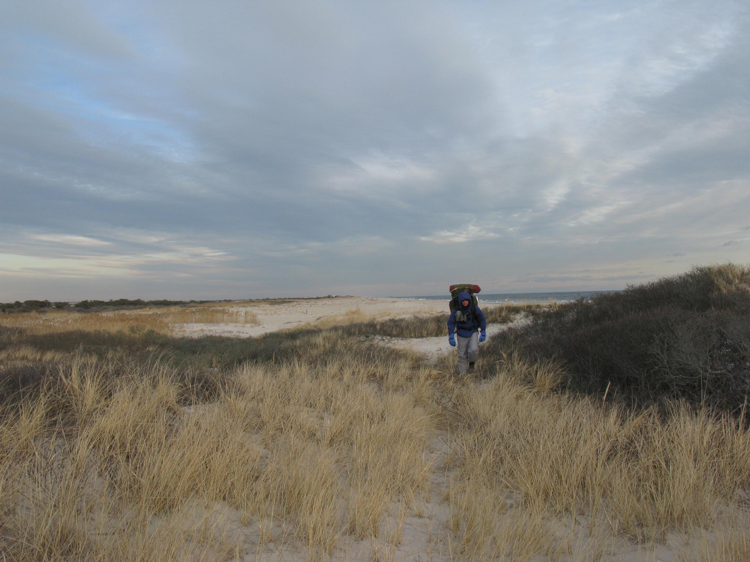
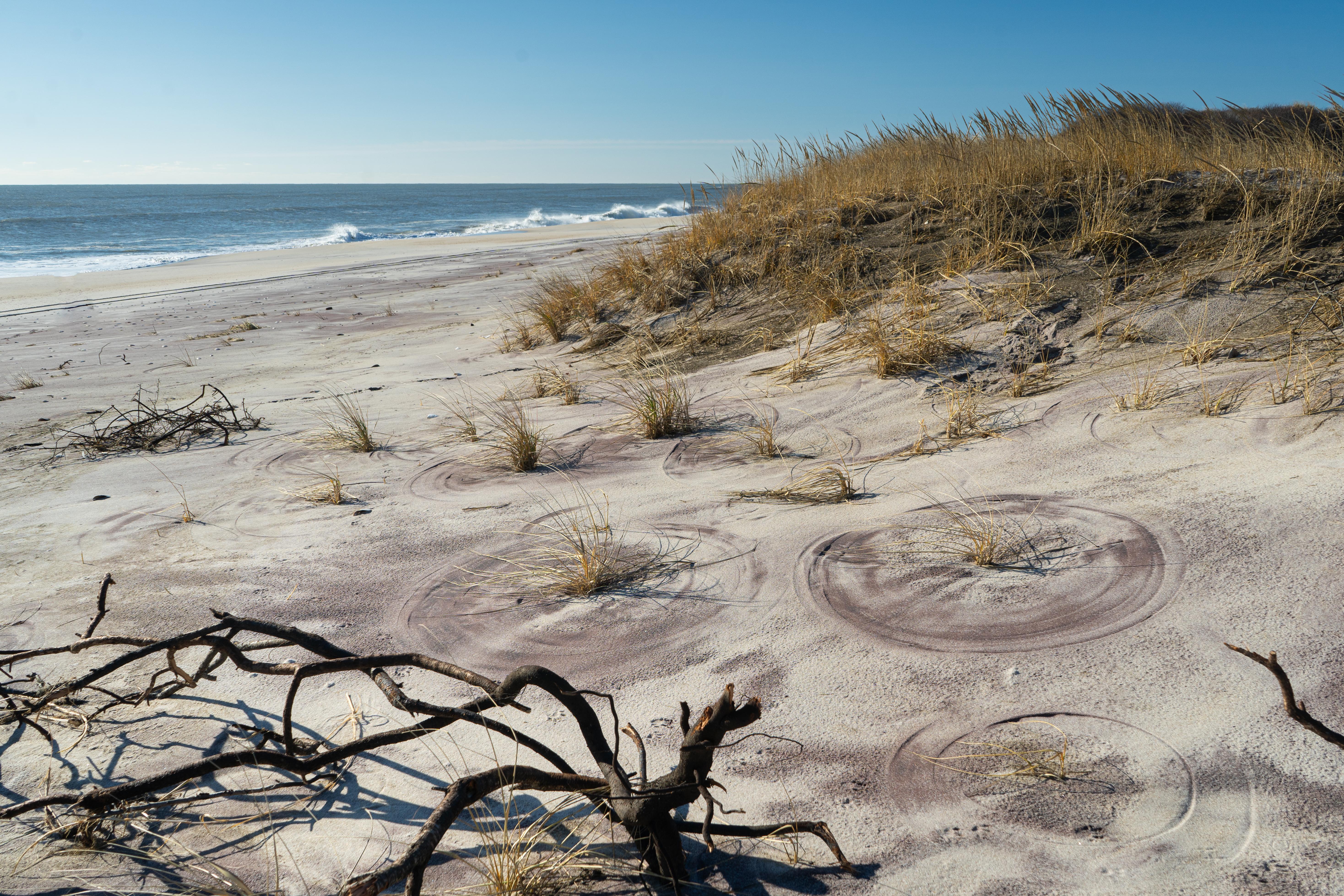
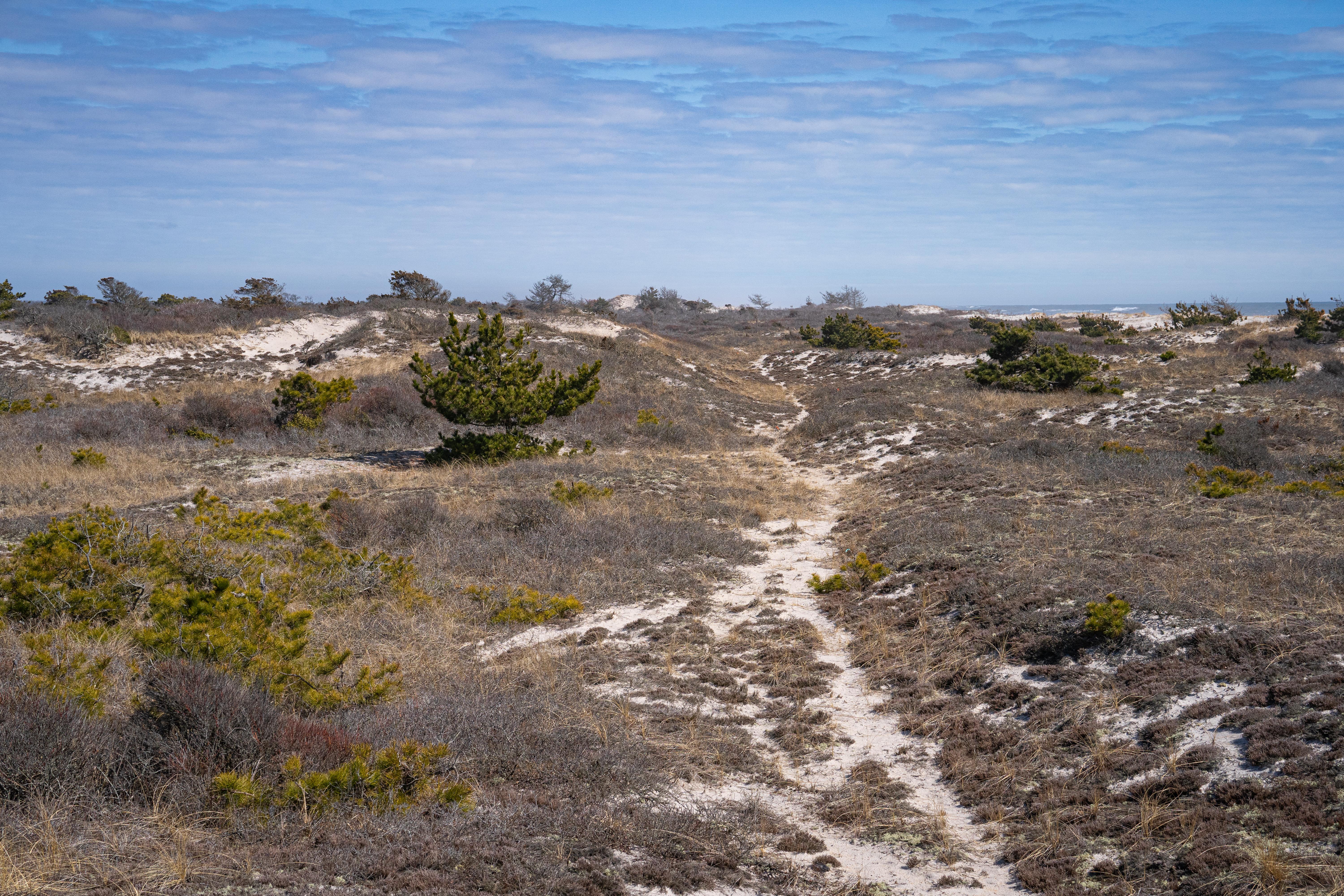
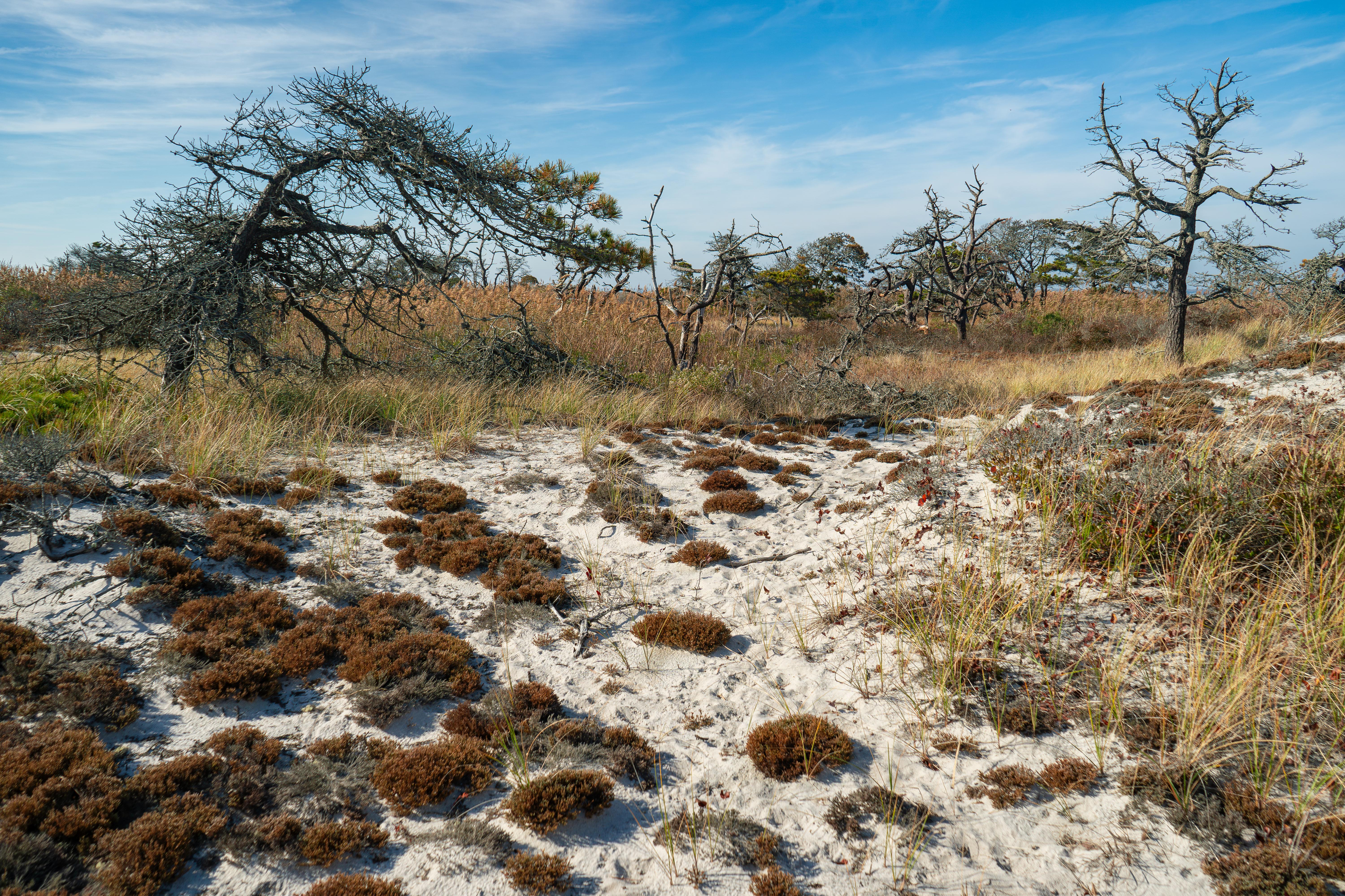
Under the stars, near the sound of the surf, waking to a chorus of song birds, backcountry camping on Fire Island within the Otis Pike Fire Island High Dune Wilderness can be a memorable experience. This backcountry camping experience is available by permit only. Permits are limited and issued for specific nights and number of persons within the group. A maximum length of stay is three consecutive nights. Beach camping may be available from March 15 through Labor Day.
From the managing agency.Official page
Is this site free?
No. this site charges $25.00. 36 of its sites are reservable through recreation.gov.
Can I bring an RV to this site?
this site has 72 sites on record. 36 sites are reservable and 36 are first come.
How do I get to this site?
By ferry from Patchogue: Take the ferry to Watch Hill or Davis Park and hike east. The western backcountry zone begins one mile past the Watch Hill Campground. By car from Smith Point: Take the William Floyd Parkway south to the end and check in at the Wilderness Visitor Center. Note - there is no parking available at the Wilderness Visitor Center. Please plan to be dropped off and picked up. The eastern camping zone begins on the west side of Old Inlet, about 2 miles west of the visitor center.
What is the weather like at this site?
Seasonal temperatures have historically ranged from below zero during December, January, and February to over 100 degrees in August. But average temperatures are more moderate. The fall and winter months along the coast are relatively cool and dry, with brief periods of rain. Spring along the coast can be cool and windy. Summers on Fire Island are typically warm and humid. Annual precipitation averages 38.9" with the distribution being relatively consistent throughout the year.
Nearby
- Watch Hill Campground3.2 mi
- Watch Hill Bayview House3.4 mi
- The Bayberry Dunes House3.4 mi
- The Cottage at Sailors Haven9.6 mi
No other services within 50 mi on the record.
SourceSource data is agency published. Last synced September 18, 2026. Community reports and photos are submitted by travelers and are not verified by the agency.
