
WARD MTN. CAMPGROUND (MURRAY SUMMIT)
Campground · Fee not listed
Fast facts
- Cost
- Not listed. Check locally.
- Type
- Campground
- Phone
- 775-289-3031
- Nearest dump station
- Dump Station · 42.8 mi
- Coordinates
- 39.2125, -114.9676
- Last verified
- September 19, 2026
About this place
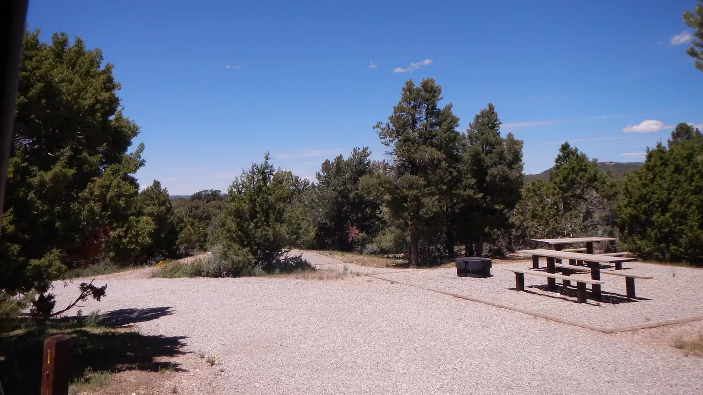
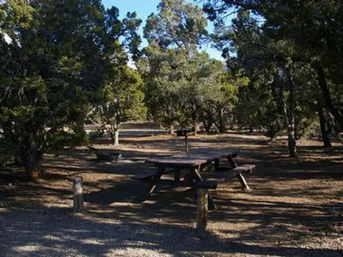
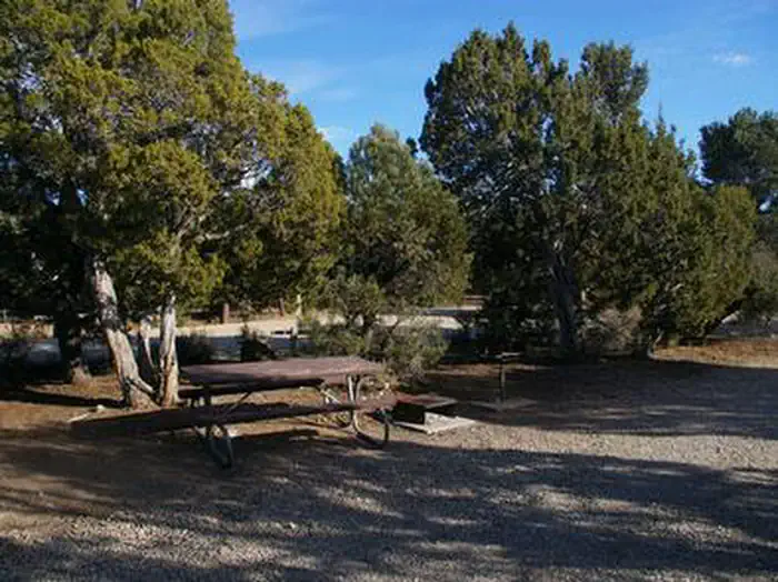
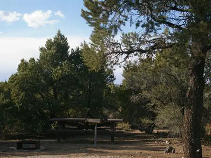
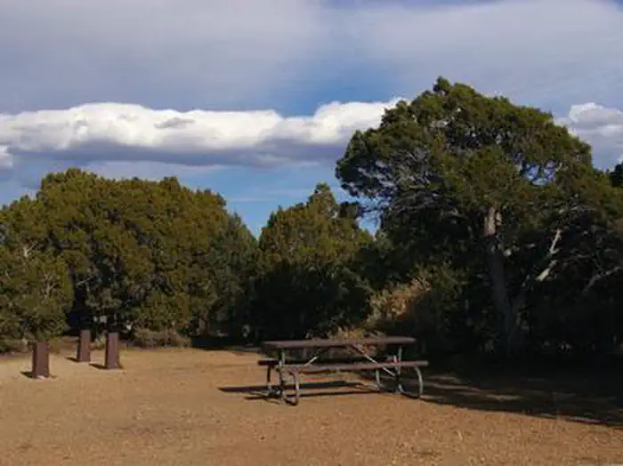
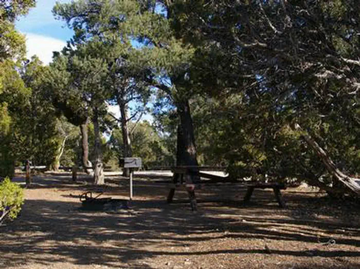
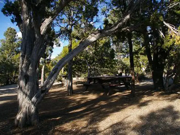
Overview Ward Mountain Recreation Area and Campground sits in the shadow of its namesake, just 10 miles southwest from the city of Ely, in eastern Nevada. It sits at an elevation of 7,400 feet. Many trails are available for hiking, mountain biking and horseback riding. Recreation Ward Mountain and the surrounding area offers miles of trails for hiking, mountain biking and horseback riding. Many of the trails offer scenic views of the surrounding high desert terrain. Facilities This campground offers single-family campsites and three large group sites that can accommodate up to 100 or more people. Multiple access points for trails are found throughout the campground with the main trailhead located at the eastern most side. All campsites are equipped with picnic tables, campfire rings and grills. Vault toilets, drinking water and trash collection are provided, but there is no electricity. A campground host is on-site during the peak summer season. Natural Features Ward Mountain is the highest point in the Egan Range, topping out near 10,800 feet. The campground is well below the summit, but sits high above the desert floor below. A forest of pinyon pine and juniper trees covers the area, offering partial shade and privacy between campsites. Nearby Attractions Comins Lake is about 13 miles from the campground offering boating and fishing for trout and bass. Cave Lake State Park is less than 20 miles away, with opportunities for boating and fishing for rainbow and brown trout. Ward Charcoal Ovens State Park is 26 miles away, with interesting historic stone ovens and an interpretive trail. The Northern Nevada Railway in Ely has a museum and offers train rides. Stop by the Chamber of Commerce for more information on local events and sites.
From the managing agency.
Is this site free?
We do not have a fee on record for this site. Confirm the cost locally before you go.
How do I get to this site?
this site is at 39.2125, -114.9676. We do not hold written directions for this one, so navigate to the coordinates.
Nearby
SourceSource data is agency published. Last synced September 19, 2026. Community reports and photos are submitted by travelers and are not verified by the agency.
