
MCWILLIAMS
Campground · Fee not listed
Fast facts
- Cost
- Not listed. Check locally.
- Type
- Campground
- Phone
- 702-872-5486
- Nearest water fill
- Drinking Water · 17.2 mi
- Coordinates
- 36.3092, -115.6825
- Last verified
- September 19, 2026
About this place
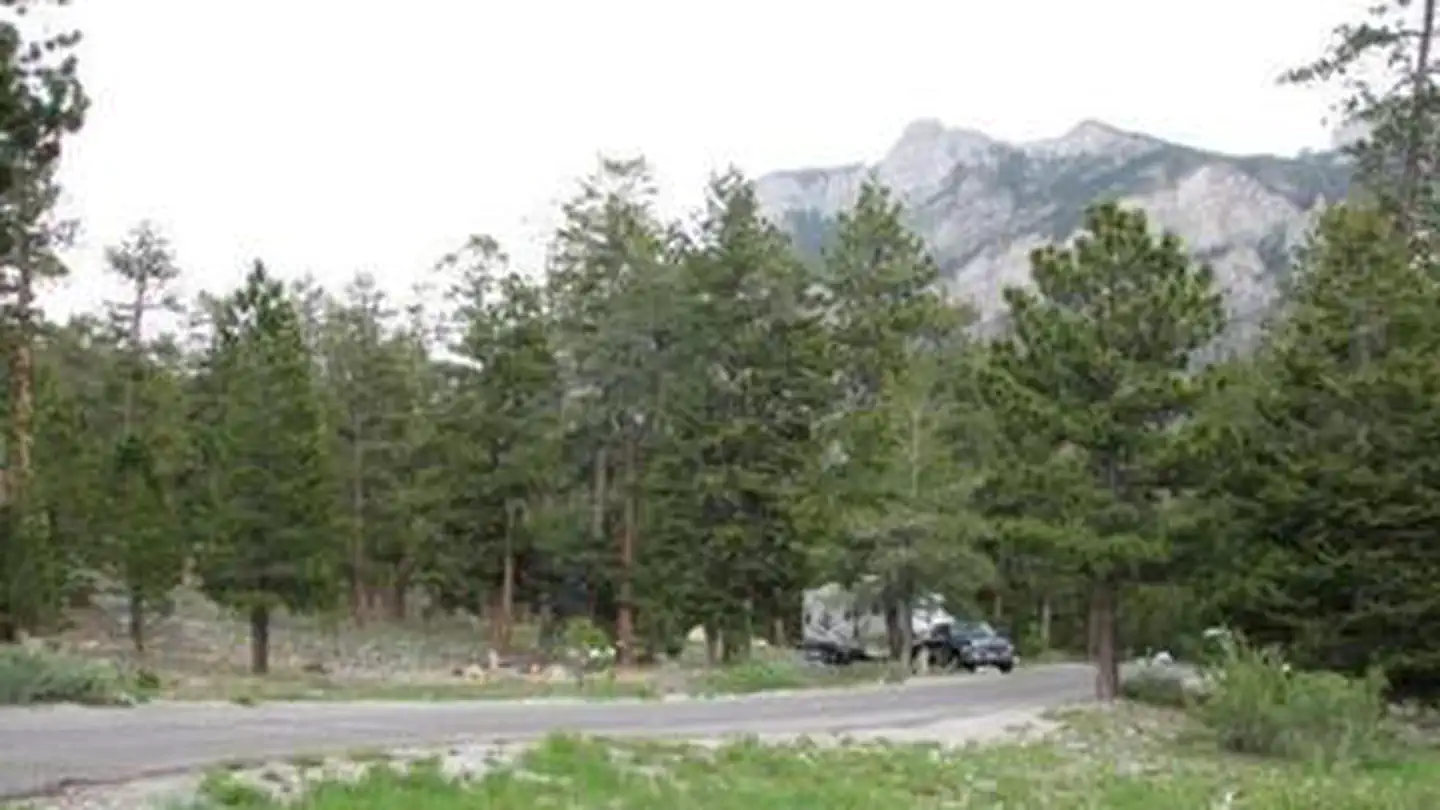
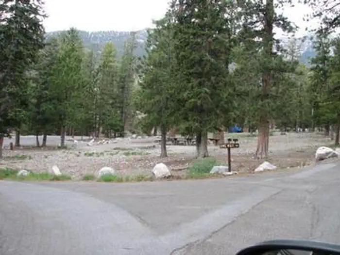
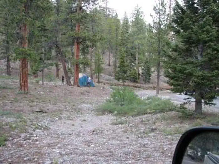
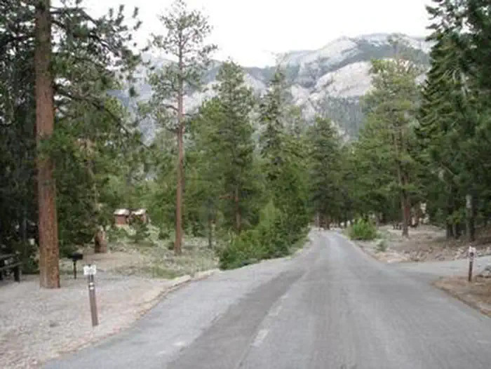
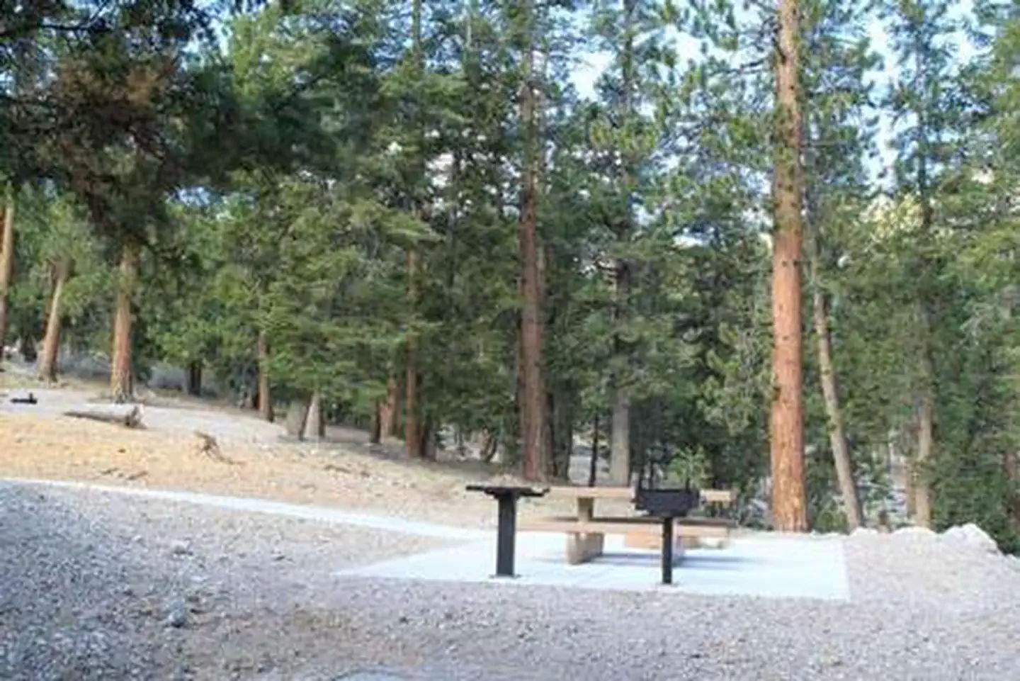
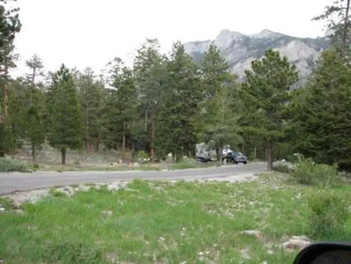
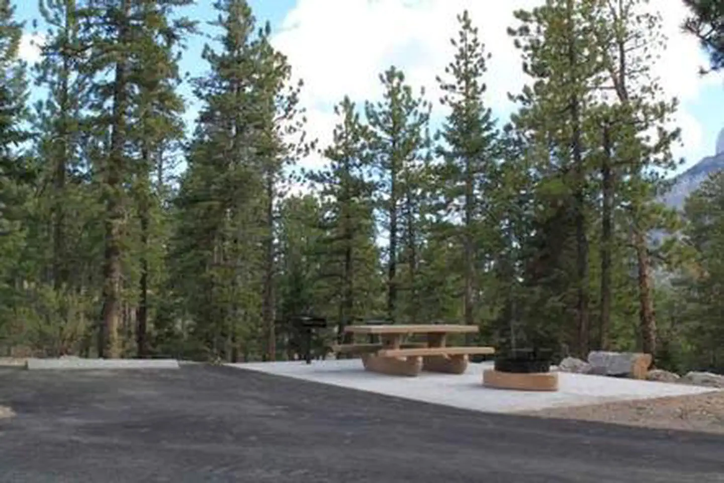
Overview McWilliams Campground is located in the Spring Mountains National Recreation Area, just 50 miles from downtown Las Vegas. Visitors enjoy hiking, mountain biking and scenic driving in this forested desert oasis. Recreation Hiking and mountain biking are popular activities on the 6.2-mile Bristlecone Trail. Upper and lower trailheads are located just above and below the campground. The 1.3-mile Sawmill Trail begins about four miles below the campground just off State Route 156. Facilities This campground contains several single and double-family sites with picnic tables, grills and campfire rings. Flush toilets, drinking water, and trash collection are provided. Roads and parking spurs are paved. Natural Features The Spring Mountains National Recreation Area is a beautiful island in the desert, brimming with breathtaking scenery and diverse flora and fauna. The Bristlecone pine, the world's oldest organism, and the rare Mount Charleston blue butterfly are both found within the Spring Mountains. More than 100 springs create the namesake for the mountain range, making it an ideal place to escape the heat of the city. The campground is situated in a scenic Ponderosa and white pine forest, which offers partial shade. The area affords breathtaking views of the surrounding Spring Mountains. Nearby Attractions More than 60 miles of hiking and horseback riding trails crisscross the area. Rock climbing, picnicking and scenic driving are popular activities. The Spring Mountains Visitor Center in Kyle Canyon offers guided hikes and educational and evening programs. Interpretive displays provide information on local plants, animals and history.
From the managing agency.
Is MCWILLIAMS free?
We do not have a fee on record for MCWILLIAMS. Confirm the cost locally before you go.
How do I get to MCWILLIAMS?
MCWILLIAMS is at 36.3092, -115.6825. We do not hold written directions for this one, so navigate to the coordinates.
Nearby
SourceSource data is agency published. Last synced September 19, 2026. Community reports and photos are submitted by travelers and are not verified by the agency.
