
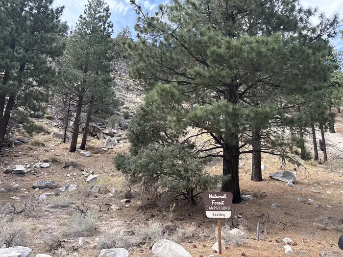
Bootleg
Campground · Fee not listed
Fast facts
- Cost
- Not listed. Check locally.
- Type
- Campground
- Phone
- 760-932-7070
- Nearest dump station
- Indian Creek Camp Ground-Trailer Dump Site · 28.5 mi
- Nearest water fill
- Indian Creek Camp Ground-Potable Water · 29.0 mi
- Coordinates
- 38.4177, -119.4535
- Last verified
- September 19, 2026
About this place
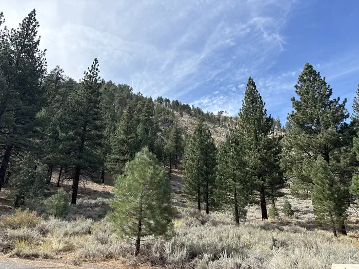
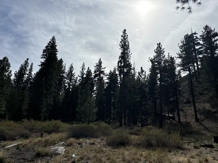
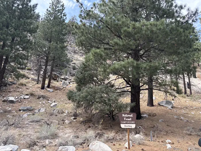
Overview Bootleg campground offers solitude and a chance to get away from crowds in shaded Jeffrey Pines. The campground is across highway from West Walker River which has good fishing opportunities. Recreation Facilities Bootleg is a tent and RV-friendly campground that offers single family campsites with picnic tables and campfire rings. The campground has four restroom buildings that house flush toilets. Drinking water and garbage service is provided. Firewood is available to purchase from the host. Natural Features Campground is at an elevation of 6600 feet.
From the managing agency.
Is Bootleg free?
We do not have a fee on record for Bootleg. Confirm the cost locally before you go.
How do I get to Bootleg?
Bootleg is at 38.4177, -119.4535. We do not hold written directions for this one, so navigate to the coordinates.
Nearby
SourceSource data is agency published. Last synced September 19, 2026. Community reports and photos are submitted by travelers and are not verified by the agency.
