
TETILLA PEAK
Campground · Fee not listed
Fast facts
- Cost
- Not listed. Check locally.
- Type
- Campground
- Phone
- 505-465-0274
- Coordinates
- 35.6472, -106.3044
- Last verified
- September 19, 2026
About this place
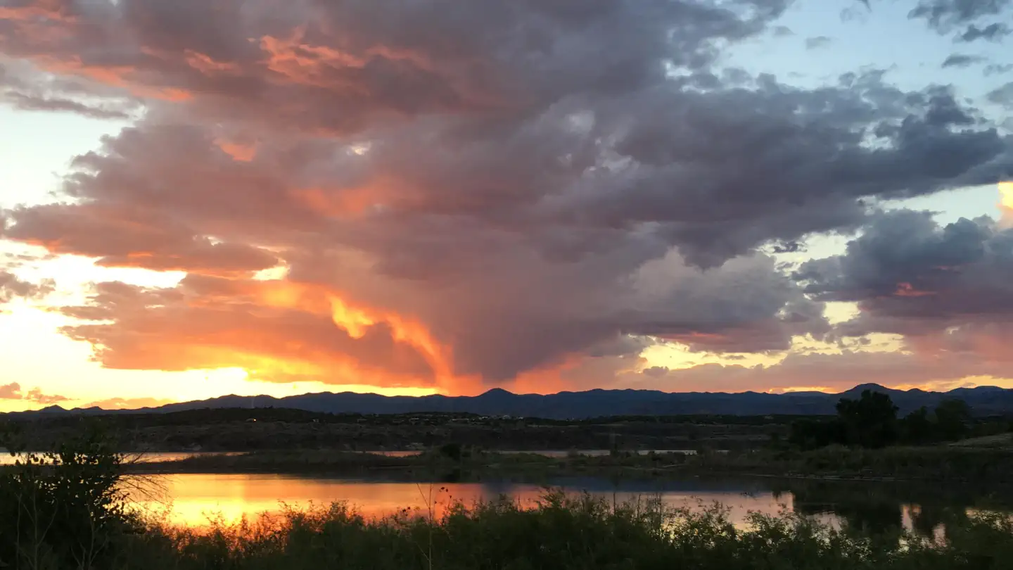
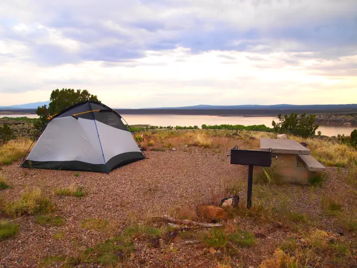
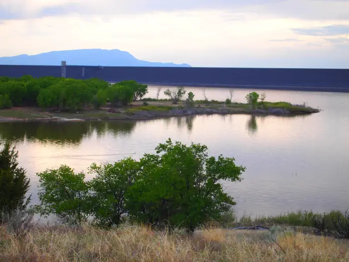
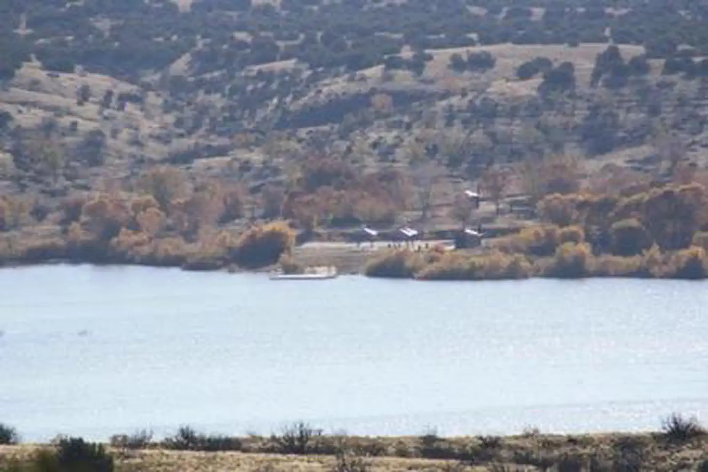
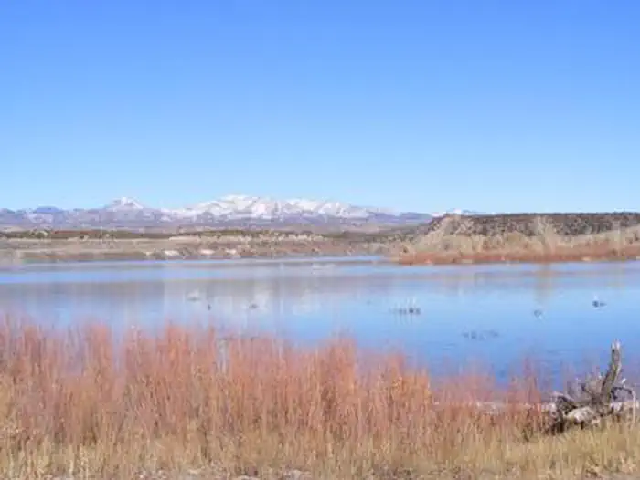
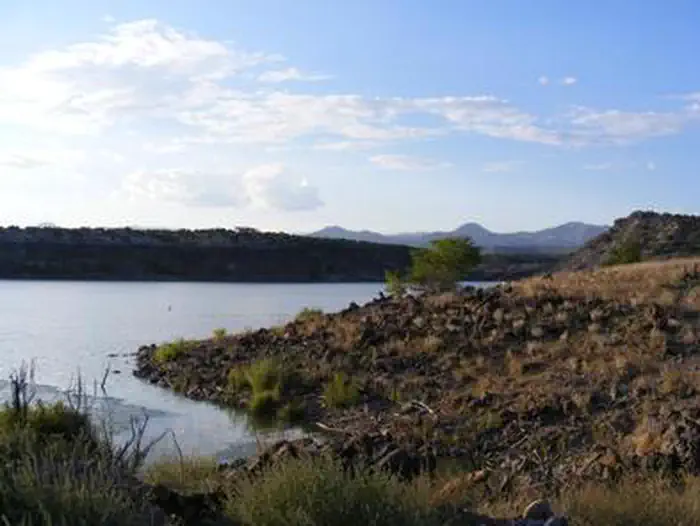
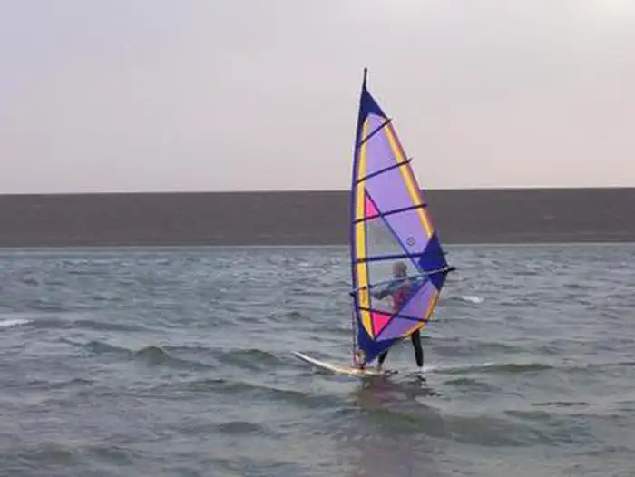
Overview Tetilla Peak Recreation Area is located in Sandoval County, New Mexico, within the boundaries of the Pueblo de Cochiti Indian Reservation. The lake offers two public recreation areas: Cochiti on the west side of the lake and Tetilla Peak on the east side. Both sides offer spectacular scenic views of the water and surrounding mountains. The Cochiti Dam is one of the ten largest earth-fill dams in the United States, and also one of the largest in the world. The lake derives its name from the Indian Pueblo on the Cochiti Reservation. Recreation Our quiet no-wake lake is an ideal for all paddle and wind craft. The lake is also a popular fishing spot for species such as bass, crappie, walleye, catfish, sunfish, and pike. Santa Cruz Day Use area is open daily and provides visitors with acces to the lake as well as several shade structures, bathrooms, and a fishing dock. Facilities The campground consists of two loops. Cholla Loop includes 36 individual campsites, each with an electric hookup, table and grill. All electric campsites have shelters, and water spigots are located throughout the campground. This loop also provides a dump station and large restroom and shower building . A partially paved road winds through Coyote Loop, which has 10 sites, each with a table and grill. There are no electric hookups, and water spigots are scattered throughout the loop. The restroom and shower building is centrally located for easy access. The Tetilla boat ramp area offers a parking area and courtesy dock. Natural Features Cochiti Lake sits at 5,343ft in elevation and is nestled in the foothills of the Jemez Mountains. Our high desert environment is dominated by juniper, piñon trees, and mixed grasslands. There are many opportunities for wildlife viewing. Four osprey nesting platforms have been erected around the lake to provide nesting sites, as well as viewing opportunities. On the east side of the lake, deer, coyote, river otters, rabbits, beavers, and bear are often sighted. Nearby Attractions Cochiti Lake is 23 miles from Tent Rocks National Monument, which has fascinating geological formations.
From the managing agency.
Is TETILLA PEAK free?
We do not have a fee on record for TETILLA PEAK. Confirm the cost locally before you go.
How do I get to TETILLA PEAK?
TETILLA PEAK is at 35.6472, -106.3044. We do not hold written directions for this one, so navigate to the coordinates.
Nearby
- Cochiti Campground1.2 mi
- Juniper Family Campground10.3 mi
- Juniper Campground (NM)10.4 mi
- Ponderosa Group Campground (NM)13.1 mi
- Ponderosa Group Campground13.1 mi
- PALIZA18.5 mi
- Paliza Family (New)18.6 mi
- Paliza Group Campground18.9 mi
No other services within 50 mi on the record.
SourceSource data is agency published. Last synced September 19, 2026. Community reports and photos are submitted by travelers and are not verified by the agency.
