
ELK CREEK CAMPGROUND (RIO GRANDE NF)
Campground · Fee not listed
Fast facts
- Cost
- Not listed. Check locally.
- Type
- Campground
- Coordinates
- 37.1251, -106.3684
- Last verified
- September 19, 2026
About this place
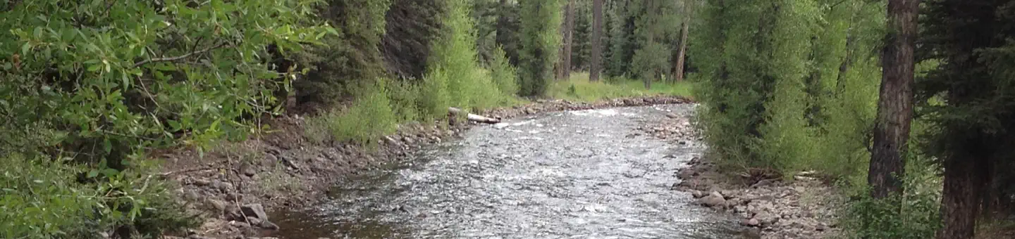
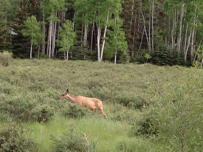
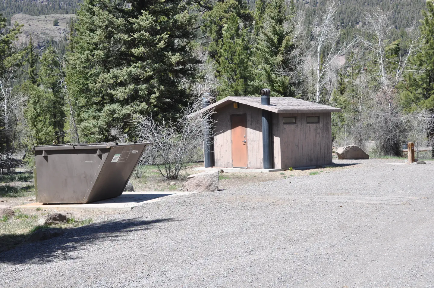
Overview Elk Creek Campground is located in Conejos County, approximately 23 miles west of Antonito, Colorado. Located in the lower portion of the Conejos Canyon a short distance from Highway 17, it is an easily reached destination for visitors to the area. Elk Creek runs alongside the campground. The elevation of the campground is 8,500 ft. Recreation Consider a day trip to the Cumbres and Toltec Scenic Railroad (steam) which offers a 64-mile journey through abandoned mining towns. One access to the train is in Antonito, CO, about 23 miles from the campground. Fishing, hunting, hiking, scenic driving and wildlife watching are some of the popular activities in the area. Elk Creek and Duck Lake trailheads are a short distance away, both of which are access points to the South San Juan Wilderness Area. Facilities This campground contains a variety of campsites including single and double sites which can accommodate RVs or tents. Vault toilets and drinking water are provided. Most sites are equipped with accessible tables, grills and fire rings. Natural Features The campground is lightly wooded with spruce and some ponderosa pine trees. The understory is grass with some campsites located next to Elk Creek. The campground is conveniently located within close proximity to the South San Juan Wilderness Area. Contact Info For facility specific information, please call (805) 434-1996. Nearby Attractions Nearby Elk Creek has fishing, including brown and rainbow trout. Two hiking trails are also nearby and lead into the south San Juan Wilderness. These trails access Dipping Lakes and Duck Lake and are an easy to intermediate hike.
From the managing agency.
Is this site free?
We do not have a fee on record for this site. Confirm the cost locally before you go.
How do I get to this site?
this site is at 37.1251, -106.3684. We do not hold written directions for this one, so navigate to the coordinates.
Nearby
- Elk Creek Campground0.1 mi
- Elk Creek Overflow Campground0.1 mi
- Old Elk Creek0.7 mi
- Spectacle Lake Campground4.9 mi
- Conejos Campground5.2 mi
- Aspen Glade Campground6.3 mi
- Aspen Glade (Rio Grande National Forest, CO)6.4 mi
- Trujillo Meadows Campground7.0 mi
No other services within 50 mi on the record.
SourceSource data is agency published. Last synced September 19, 2026. Community reports and photos are submitted by travelers and are not verified by the agency.
