
CIENEGA PICNIC SITE
Campground · Dispersed · Fee not listed
Fast facts
- Cost
- Not listed. Check locally.
- Type
- Campground
- Phone
- 505-281-3304
- Coordinates
- 35.1697, -106.3842
- Last verified
- September 19, 2026
About this place
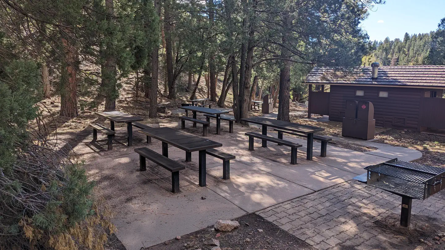
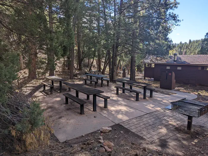
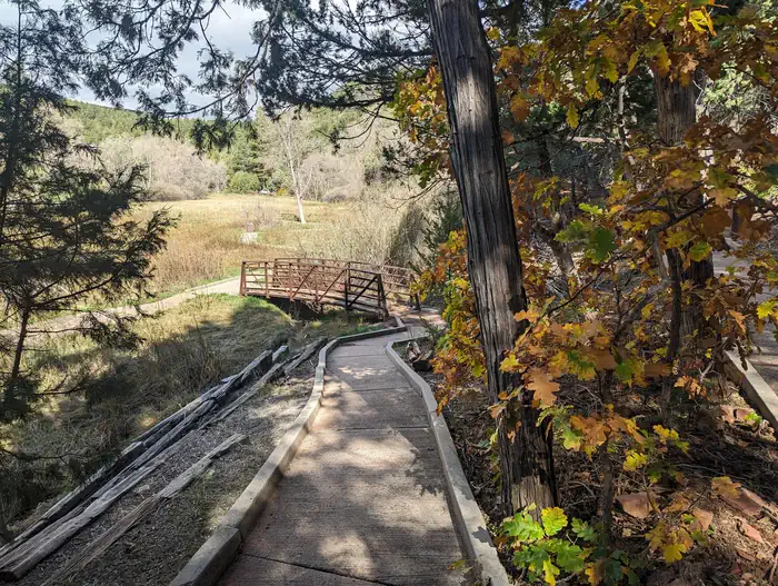
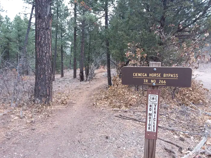
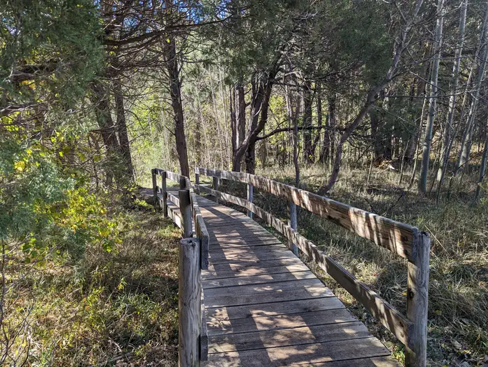
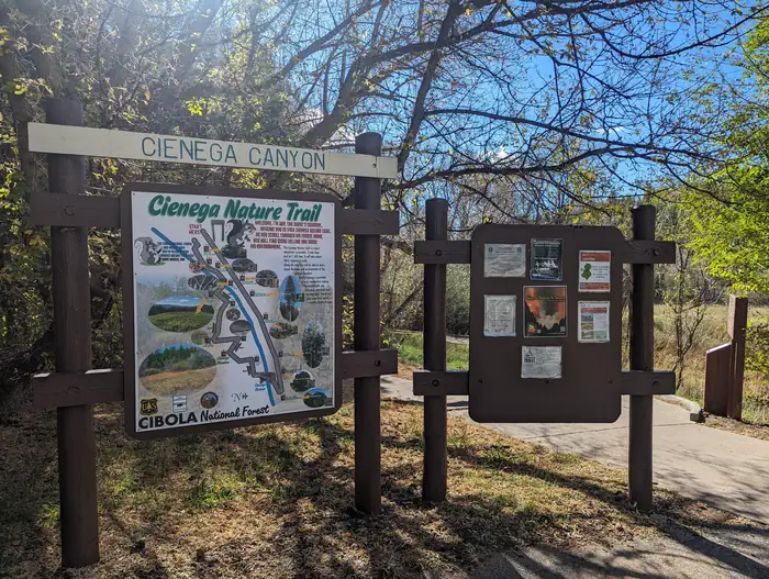
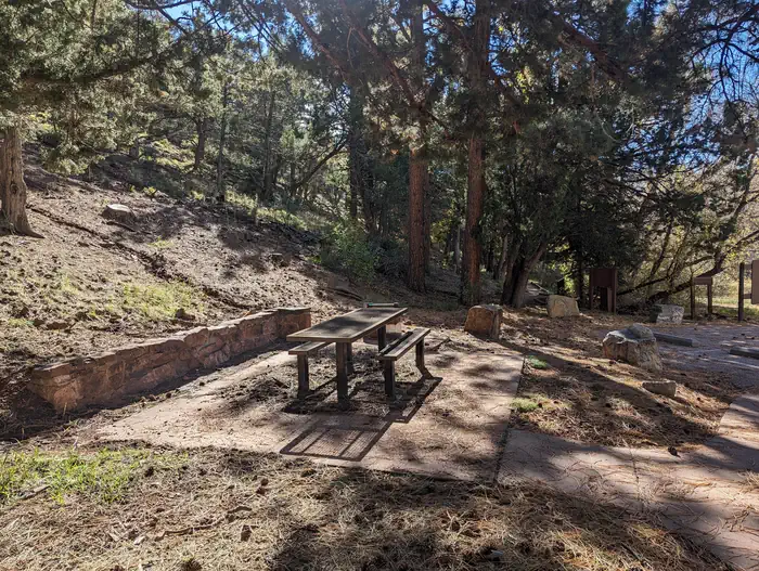
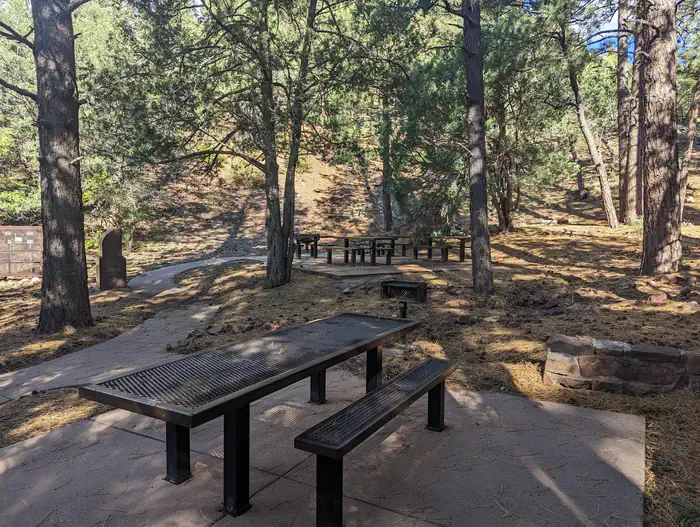
Overview Beautiful, shady, cool and green are just a few words that recreationists have used to describe the Cienega Group Picnic site. It is fairly flat, accessible, semi-private and accommodates up to fifty people. There are grills, bear proof trash containers and vault toilets provided and no shelter other than the surrounding shade trees. A stream, which draws birds and other wildlife, runs through the area. There is no overnight camping at Cienega. Cienega's accessible interpretive trail/sidewalk winds around the picnic site and provides a great learning experience for those who take the time to check it out. There is an accessible patio near the beginning of the interpretive trail that is suitable for a picnic. The larger Cienega Picnic Area provides additional dispersed picnicking opportunities and access to a number of trail systems. This is a popular area for horse riders and mountain bikers. Recreation A variety of biking, hiking, and horseback riding trails are available from within the picnic area, including one leading to the mountain crest. The nearly 10-mile round-trip trail winds through a fir forest, abundant with wildflowers. Much of the hike is in the shade, although the terrain can be rough. Day hikes are available along the route. In non-drought times, the trails follow a mountain stream with a beautiful travertine waterfall. Make sure to bring a detailed trail map such as the Sandia Mountain Wilderness map, or the Sandia Mountain Trails Guide . An accessible interpretive trail leads along the nearby stream and meadow, called "La Cienega" which means wet meadow. This unique trail was cooperatively built, by the New Mexico Association for the Blind and the Forest Service, for persons with a disability or otherwise limited physical mobility. Facilities The picnic site offers a semi-private space that can accommodate up to 50 people. There is no shelter, however, the trees provide plenty of shade. Water and electricity, firewood/charcoal are not available at the site. Picnic tables, grills, accessible vault toilets and bear proof trash receptacles are provided. Bears frequent the area; please use appropriate containers for food and garbage. Food Storage Keeping You and Bears Safe Natural Features Located approximately a half mile off the 536 Scenic Byway, the Cienega Picnic site is fairly flat. There is a stream that runs through it, that has created a wet meadow. It is encircled by trees and an interpretive trail/sidewalk. Nearby Attractions There are privately owned businesses and restaurants all along NM State Road 14 and a museum on your way up the 536 Scenic Byway as you head toward Cienega Group Picnic area. The Sandia Crest 536 Scenic Byway is a popular route to explore with access to many hiking, biking, and horse riding trails along the way. The Sandia Mountain Wilderness is accessed from a number of the nearby trails.
From the managing agency.
Is CIENEGA PICNIC SITE free?
We do not have a fee on record for CIENEGA PICNIC SITE. Confirm the cost locally before you go.
How do I get to CIENEGA PICNIC SITE?
CIENEGA PICNIC SITE is at 35.1697, -106.3842. We do not hold written directions for this one, so navigate to the coordinates.
Nearby
- DOC LONG PICNIC SITES - A and B0.6 mi
- BALSAM GLADE PICNIC SITE3.3 mi
- CAPULIN SPRING PICNIC SITE3.7 mi
- NINE MILE PICNIC SITE3.8 mi
- LAS HUERTAS PICNIC SITE4.7 mi
- Cedro Peak Camping Sites - Robin and Jay9.6 mi
- PINE FLAT PICNIC SITES - A and B11.1 mi
- Oak Yucca and Locust Group Picnic Sites12.3 mi
No other services within 50 mi on the record.
SourceSource data is agency published. Last synced September 19, 2026. Community reports and photos are submitted by travelers and are not verified by the agency.
