
CAMP GATEWAY - STATEN ISLAND
Campground · Fee not listed
Fast facts
- Cost
- Not listed. Check locally.
- Type
- Campground
- Phone
- 718-354-4655
- Coordinates
- 40.5999, -74.0554
- Last verified
- September 19, 2026
About this place
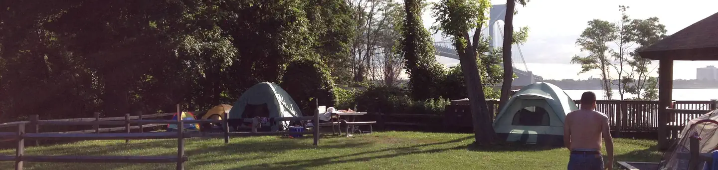
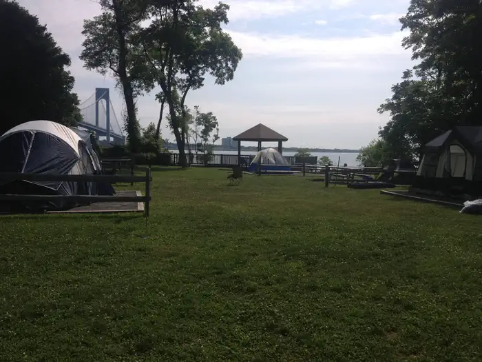
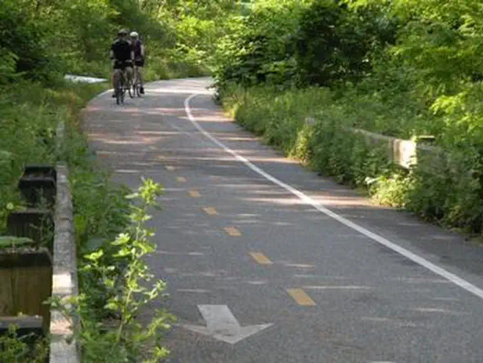
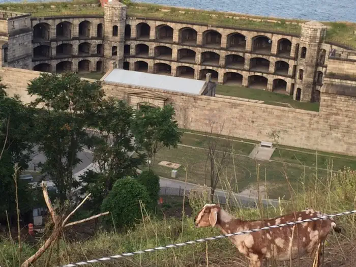
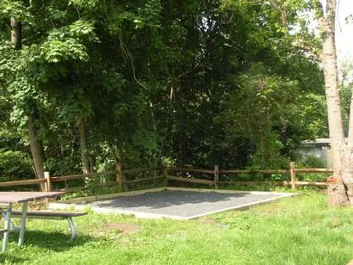
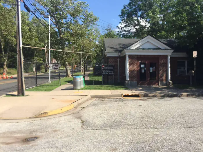
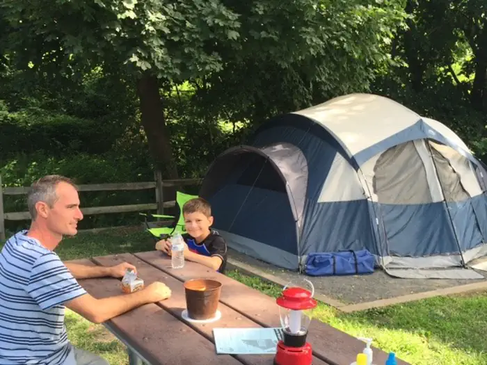
Overview This campground boasts a spectacular view of the Verrazzano-Narrows Bridge, the longest vehicle suspension span in the United States. When it opened in 1964, it was the longest span in the world for 17 years. It connects Fort Hamilton in Brooklyn and Fort Wadsworth in Staten Island. Not far from the campground is an overlook area which features a vantage point to view the Statue of Liberty NM, the Manhattan Skyline and various forts and batteries in the New York Harbor region. Fortification tours are available on site. Connecting to the bike path, near the campground, is a NYC Parks and Recreation boardwalk where bike rentals and food concessions are available offsite. Recreation Surf fishing at the beach is available for campers with a fishing license (see DEC for details). In addition, campers can attend a ranger-led tour of the historic structures. In the summer months, campers may enjoy walking/sunbathing (no Lifeguard on duty) on the beach at Fort Wadsworth. Swimming where lifeguards are on duty, is available at Gateway NRA- Great Kills Beach or NYC Parks and Recreation beaches. Bird watching, kayaking, biking and playground areas are all located within the Staten Island Unit of Gateway (Fort Wadsworth, Miller Field and Great Kills Park sites). Facilities Campground accommodates tent camping only. There is no day use (overnight camping only) allowed and no electrical outlets at the campground. Seasonal bathrooms are available. To go to Manhattan, take the NYC Public Transportation bus to the St. George Ferry terminal, Staten Island (approx. 25 minute ride from Fort Wadsworth). Board the ferry to New York City, in Lower Manhattan (25 minute boat ride). From there, various types of public transportation are available (e.g. bike rentals, taxis, subways). Bus service running inside Fort Wadsworth stops at 7:00 p.m. daily, though there is service just outside of the park entrance. Check MTA for schedule and pricing https://bustime.mta.info/ Natural Features Thousands of years ago, glacial activity created a morainal hilltop, that is Fort Wadsworth Overlook. Located at the Narrows in New York Harbor, visitors can look out at the hills of Bay Ridge in Brooklyn and eastern Staten Island. Part of Gateway National Recreation Area, Staten Island Unit, has various topographic features, such as hills, fields, maritime forest and dunes, as well as beaches. Nearby Attractions Alice Austin House, Snug Harbor, Staten Island Zoo, and Staten Island Museum are all within a 10 mile or less radius. Charges & Cancellations Changes & Cancellations Recreation.gov refund and cancellation policy: https://www.recreation.gov/rules-reservation-policies
From the managing agency.
Is CAMP GATEWAY - STATEN ISLAND free?
We do not have a fee on record for CAMP GATEWAY - STATEN ISLAND. Confirm the cost locally before you go.
How do I get to CAMP GATEWAY - STATEN ISLAND?
CAMP GATEWAY - STATEN ISLAND is at 40.5999, -74.0554. We do not hold written directions for this one, so navigate to the coordinates.
Nearby
- Fort Wadsworth Campsite0.0 mi
- CAMP GATEWAY- BROOKLYN NY9.0 mi
- CAMP GATEWAY - SANDY HOOK10.8 mi
- Sandy Hook Camp Ground10.8 mi
No other services within 50 mi on the record.
SourceSource data is agency published. Last synced September 19, 2026. Community reports and photos are submitted by travelers and are not verified by the agency.
