
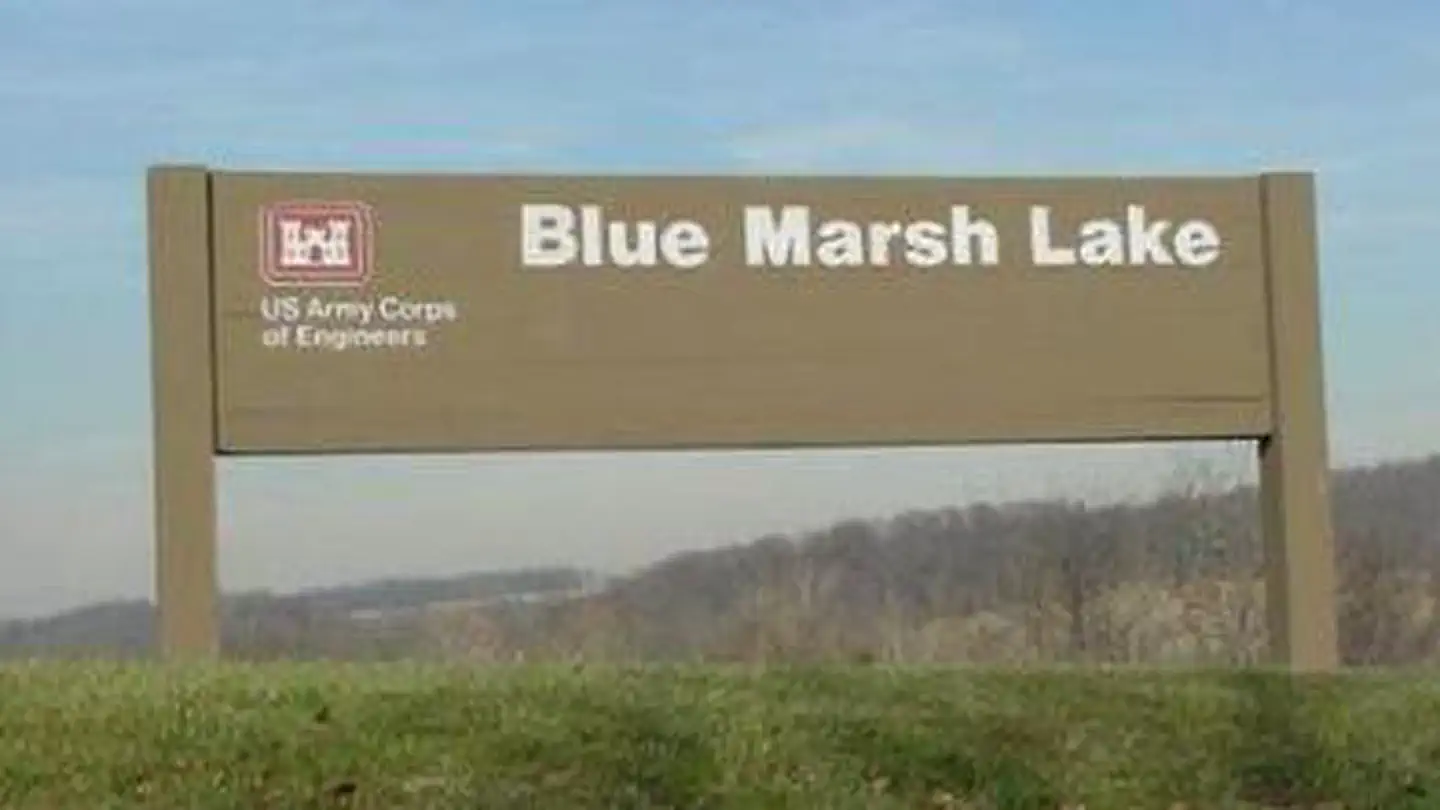
BLUE MARSH LAKE (DRY BROOKS DAY USE AREA)
Campground · Fee not listed
Fast facts
- Cost
- Not listed. Check locally.
- Type
- Campground
- Phone
- 610-376-6337
- Coordinates
- 40.3900, -76.0321
- Last verified
- September 19, 2026
About this place
Overview Located at Blue Marsh Lake northwest of Reading, Pennsylvania, three group picnic shelters are available for reservations within the Dry Brooks Day Use Area. With over 36 miles of trails, 5,000 acres of land, 1,147 acres of water, picnic areas, a small beach and boat launches, the Blue Marsh Lake area is appealing to all kinds of outdoor enthusiasts. Recreation Blue Marsh Lake is an unlimited horsepower lake for boating and waterskiing. Paddle craft are also very popular. There is a 30 mile multi-use hiking trail that permits hiking, biking, and horseback riding. Other activities include swimming, picnicking, bird watching, and hunting. Facilities Blue Marsh Lake is a day use facility only and includes three boat launches and a Visitor Center. The group shelters includes picnic tables, grills, trash receptacles and restrooms nearby. Lakeview and Hillside shelters include water and electricity, but Vista shelter does not. Natural Features The group shelters are set within the day use picnic area surrounded by mowed grass and parking lots. The shelters are also within walking distance of the swimming beach. Nearby Attractions Visitors to the Blue Marsh Lake area may want to consider a visit to the Mid-Atlantic Air Museum, Berks County Parks System which contains the Berks County Heritage Center, and The Conrad Weiser Homestead located in nearby Hamburg, PA.
From the managing agency.
Is this site free?
We do not have a fee on record for this site. Confirm the cost locally before you go.
How do I get to this site?
this site is at 40.3900, -76.0321. We do not hold written directions for this one, so navigate to the coordinates.
SourceSource data is agency published. Last synced September 19, 2026. Community reports and photos are submitted by travelers and are not verified by the agency.
