
Big Rock
USFS · Campground · Fee
Fast facts
- Cost
- Fee charged
- Managed by
- USFS
- Type
- Campground
- Reservations
- recreation.gov
- Phone
- WMNF (603) 536-6100
- Coordinates
- 44.0487, -71.5610
- Last verified
- September 19, 2026
About this place
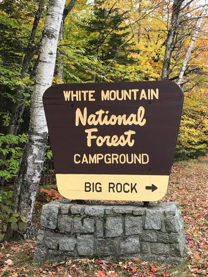
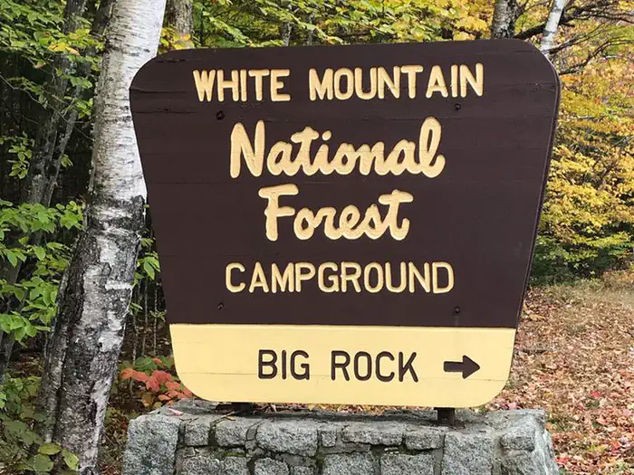
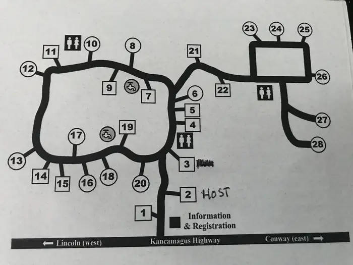
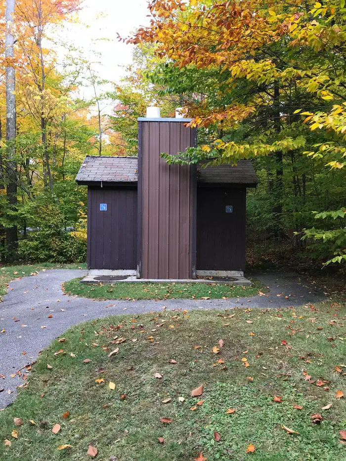
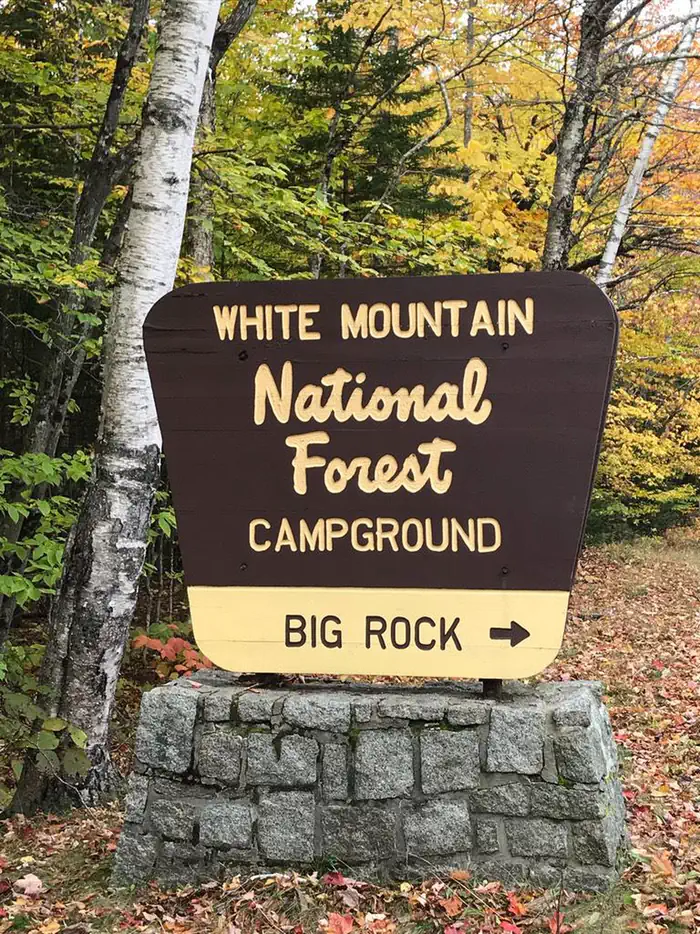
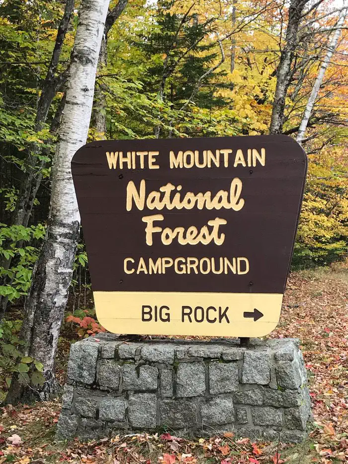
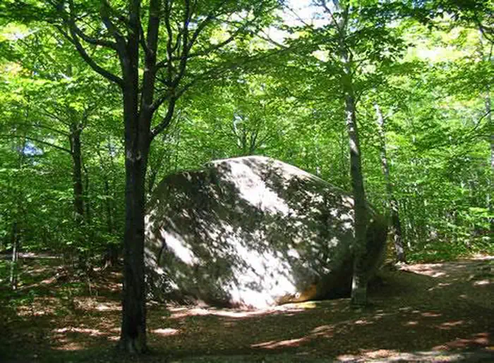
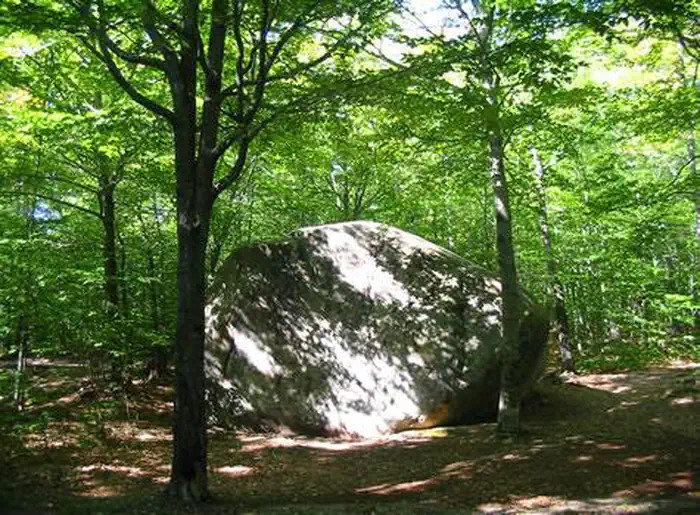
Overview Big Rock Campground has 28 individual wooded sites, each with a picnic table, tent pad and turnout for parking. Eight sites share a common parking area, while most other sites have suitable parking space available for small trailers and motorhomes. Water, electrical and sewage connections are not provided. Campsites are available on a first-come, first serve basis and reservations. Recreation A variety of recreational opportunities exsist nearby which include; swimming, fishing, hiking, picnicking, sight-seeing and pleasure driving. Facilities Vault toilets. Natural Features The name “Big Rock” was dervied from a large prominent rock which is visable shortly after entering the campground. Big Rock campground is a developed recreation area administered by the USDA Forest Service. A fee is charged for the use of this area and is collected through a self-service pay system. The campgrounds are conveniently located near Interstate 93 in the heart of the White Mountain National Forest on the scenic Kancamagus Highway. Contact Info For facility specific information, please call (802) 289-0970. Nearby Attractions 1. East Branch Pemigewasset River 2. Upper Lady’s Bath 3. Kancamagus Highway 4. Otter Rocks 5. Greely Ponds Scenic Area 6. Franconia Falls 7. Black Pond 8. The Flume 9. Indian Head 10. The Basin 11. Franconia Notch 12. Cannon Mountain Tram 13. Lost River Road 14. Kinsman Notch
From the USFS.Official page
Is Big Rock free?
No. Big Rock charges a fee. It is managed by the USFS. Sites are reservable through recreation.gov.
How do I get to Big Rock?
Big Rock is at 44.0487, -71.5610. We do not hold written directions for this one, so navigate to the coordinates.
Nearby
- Hancock Campground (NH)2.0 mi
- Hancock Campground2.0 mi
- Franconia Brook Campsites3.6 mi
- Russell Pond5.2 mi
- RUSSELL POND CAMPGROUND5.2 mi
- Tripoli Campground5.2 mi
- OSCEOLA VISTA CAMPGROUND5.7 mi
- Osceola Vista6.0 mi
No other services within 50 mi on the record.
SourceData from the USFS. Last synced September 19, 2026. Community reports and photos are submitted by travelers and are not verified by the agency.
