
NEBRASKA TAILWATERS
Campground · Fee not listed
Fast facts
- Cost
- Not listed. Check locally.
- Type
- Campground
- Phone
- 402-667-2546. FOR RESERVATIONS, CALL 877-444-6777.
- Coordinates
- 42.8489, -97.4703
- Last verified
- September 19, 2026
About this place
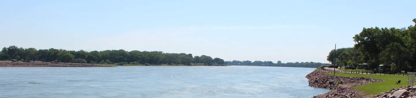
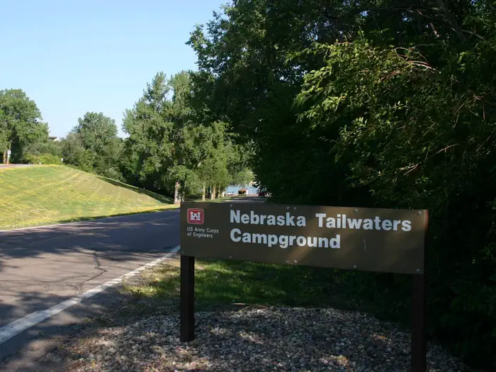
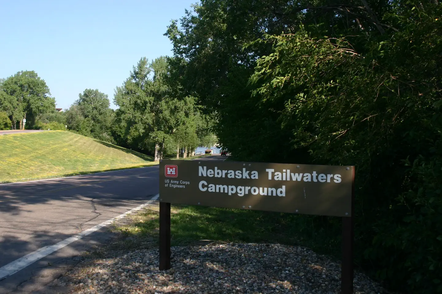
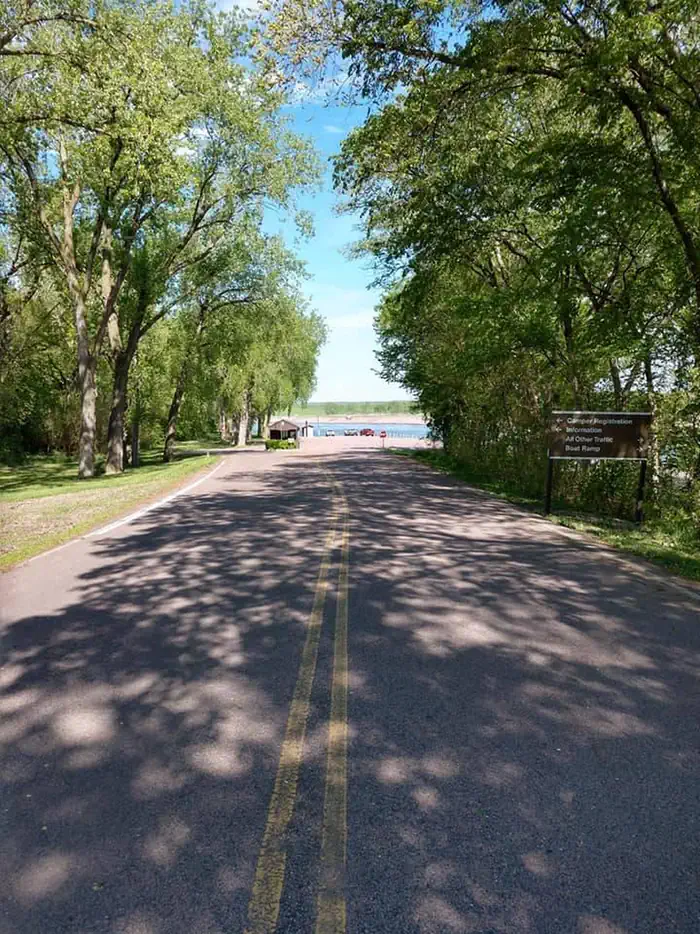
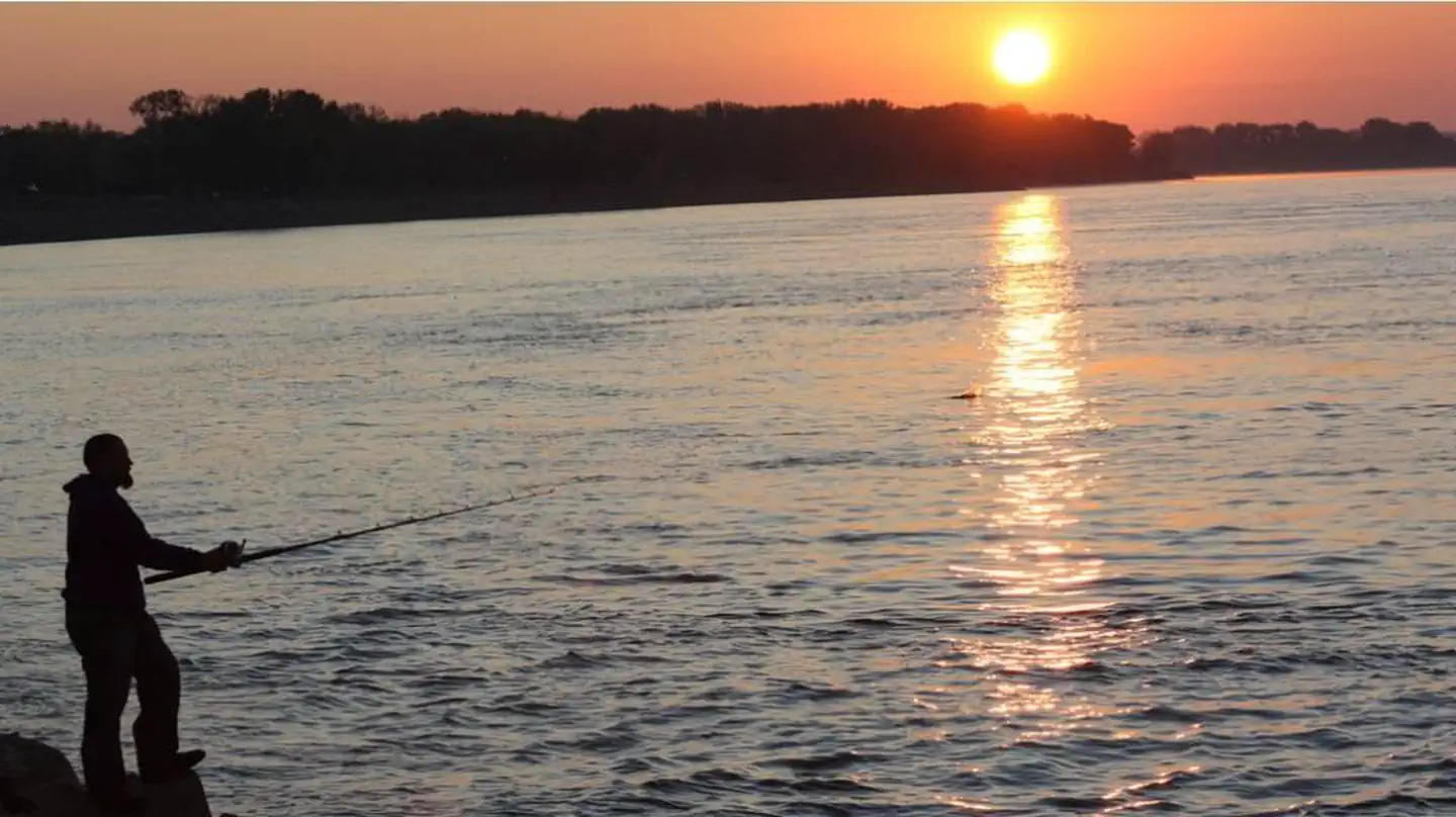
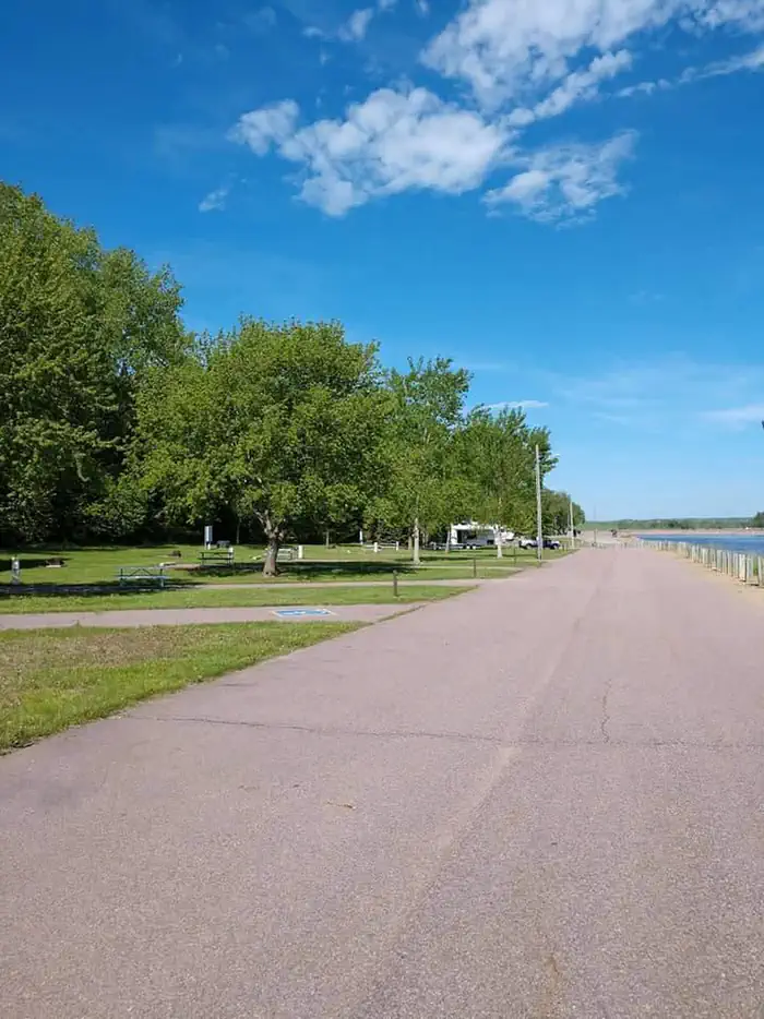
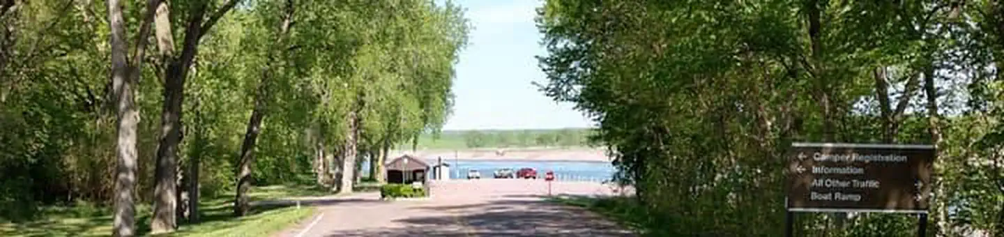
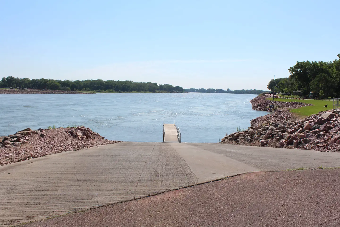
Overview Nebraska Tailwaters Campground is nestled along the Nebraska bank of the Missouri River, is a fun-filled camping destination just downstream of Gavins Point Dam and Lewis & Clark Lake. The 31,400-acre Lewis & Clark Lake and Gavins Point Dam are nestled in the golden, chalkstone-lined valley of the Missouri River growing into one of the most popular recreation destinations in the Great Plains. For more information, please visit the Gavins Point Project Website . Recreation Located just below Gavins Point Dam in the dam "Tailwaters" provides exceptional access to the Missouri River. A large 2-lane boat ramp, large parking area is available, along with an accessible fishing pier and many areas for bank fishing. The Lewis and Clark Lake area attracts more than 2 million visitors each year to its shores. Recreation opportunities around the lake include camping, fishing, hunting, hiking, boating, sailing, swimming, bird-watching, and photography. For the biking and hiking enthusiasts, three trails are available in the area. They include a paved trail that runs from Yankton to the Gavins Point area, a multi-use trail in the Gavins Point area and the Calumet Bluff hiking trail located near the visitor center. Wintertime activities include ice fishing, cross-country skiing, snowmobiling and sledding. Developed public parks and recreation areas surround the lake above and below Gavins Point Dam. Camping facilities provided by the Corps and the States of South Dakota and Nebraska include boat ramps, picnic areas, campsites with electricity, modern restrooms, playground equipment and trailer dump stations. Facilities Nebraska Tailwaters offers 36 campsites, 34 of these campsites have electric hookups and 2 of the campsites are non-electric and are for tent camping only. Amenities include modern shower facilities with flush toilets, river access with shore fishing, handicap accessible fishing pier, boat ramp, fish cleaning station and RV dump station. There is also a Group Camping Area with electric hookups, picnic shelter, fire pit, grill, and vault toilet. Natural Features The campground sits on the south bank of the Missouri River, along the tailwaters of Gavins Point Dam. Surrounding the area is the golden, chalkstone-lined Missouri River Valley. Nebraska Tailwaters is known for its exceptional Bald Eagle viewing year-round, along with many other birds of prey. Contact Info For facility specific information, please call (402) 667-2546. Nearby Attractions The Lewis and Clark Visitor Center , exhibits on Missouri River and area history including the Lewis and Clark Expedition with stunning views of Lewis and Clark Lake along with the Missouri River. Please contact the Lewis and Clark Visitor Center at (402) 667-2546 for more information. The Gavins Point National Fish Hatchery and Aquarium Visit nearby Yankton, South Dakota - the historic capitol of the Dakota Territory. Charges & Cancellations Reservation changes and cancellations can be made on Recreation.gov or by calling 1-877-444-6777. For more information on rules and policies regarding reservation cancellations and changes, please visit: https://www.recreation.gov/rules-reservation-policies .
From the managing agency.
Is NEBRASKA TAILWATERS free?
We do not have a fee on record for NEBRASKA TAILWATERS. Confirm the cost locally before you go.
How do I get to NEBRASKA TAILWATERS?
NEBRASKA TAILWATERS is at 42.8489, -97.4703. We do not hold written directions for this one, so navigate to the coordinates.
Nearby
- Gavins Point Overlook Day Use Shelter0.4 mi
- COTTONWOOD (NE)0.9 mi
- Cottonwood (NE) Day Use Shelter1.2 mi
- Green Island Primitive Camping3.6 mi
- Bow Creek Primitive Camping17.1 mi
- Goat Island Primitive Camping21.3 mi
No other services within 50 mi on the record.
SourceSource data is agency published. Last synced September 19, 2026. Community reports and photos are submitted by travelers and are not verified by the agency.
