
CROW VALLEY
Campground · Fee not listed
Fast facts
- Cost
- Not listed. Check locally.
- Type
- Campground
- Phone
- (970) 834-9270
- Nearest dump station
- Rocky Mountain National Park Dump Station · 69.2 mi
- Coordinates
- 40.6439, -104.3378
- Last verified
- September 19, 2026
About this place
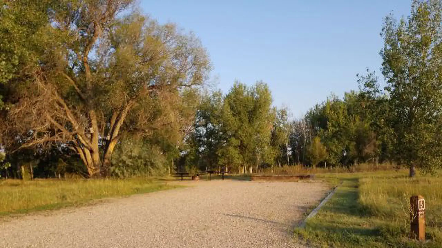
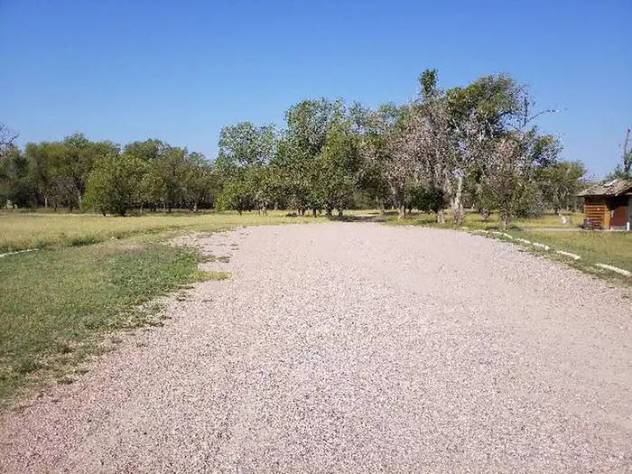
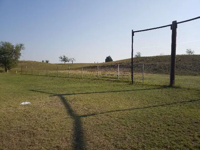
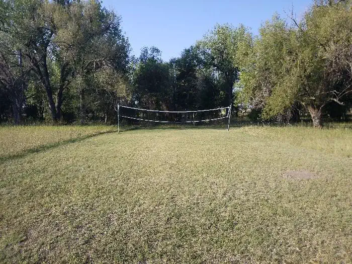
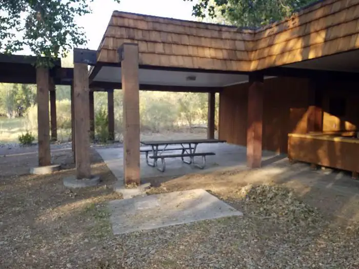
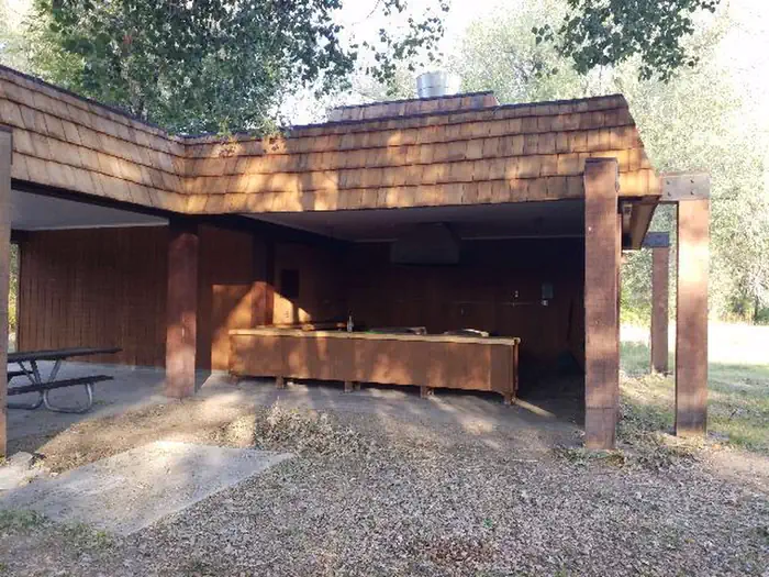
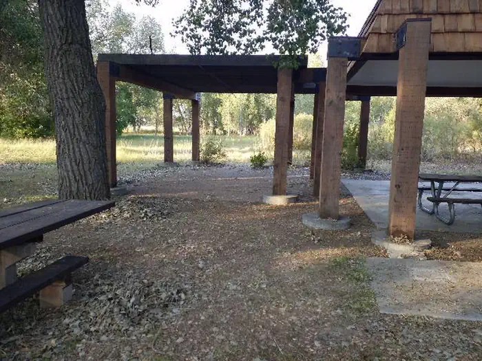
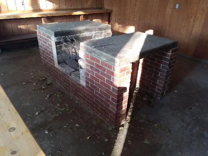
Overview Crow Valley Recreation Area is set in the Pawnee National Grassland, a very popular site with bird enthusiasts. Over 200 species can be found in the area. Hiking and star gazing are favorite activities in this remotely located campground. Recreation Birding, exploring nature trails, viewing wildlife and star gazing are popular activities at Crow Valley. A volleyball court, horseshoe pit and ball field are available. The Lee and Dorothy Rhoads Farm Implement Museum is located within the recreation area. The collection of tools, donated by the descendants of homesteaders, can help one imagine what life was like in pioneer days. Facilities Crow Valley Recreation Area contains four types of sites: a family campground, group overnight sites (Hawk, Plover and Lark), a group picnic area and an educational site (EDU). Vault toilets and drinking water are provided. Each family site is equipped with a picnic table and campfire ring. The group overnight sites can be reserved separately or together. Picnic tables and a campfire circle form a common area at each site. Tent pads are arranged around each common area. Parking is adjacent to each site. These sites have very little shade. The group picnic area can accommodate up to 200 people for day-use. It includes a lighted, covered shelter with several electrical outlets, 31 tables and a large barbeque grill. The Steward J. Adams Educational Site is accessible and can accommodate up to 100 people for overnight or day-use. It includes a three-sided covered shelter with electrical outlets and tables. Natural Features Crow Valley sits at an elevation of 4,800 feet. Cottonwood and elm trees dot the landscape, providing pleasant shade in the family campground. However, the group campsites have little to no shade. Short grass prairie surrounds the recreation area. The Pawnee National Grassland sits east of the Rocky Mountains in Colorado. Eroding creek drainages crisscross the area. Elevations range from 4,375 feet on the prairie to 5,685 feet. Contact Info For facility specific information, please call (530) 529-0578. Nearby Attractions The campground is within driving distance from both the east and west units of Pawnee National Grassland and the Pawnee Pioneer Trails Scenic Byway, a 128-mile route through wide-open terrain studded by the towering Pawnee Buttes. Charges & Cancellations Modifications for this campground must be made through Recreation.gov or by calling the call center at 1-877-444-6777 PRIOR to your reservation start date. Customers and contact center agents cannot modify reservations on or after the check-in date.
From the managing agency.
Is CROW VALLEY free?
We do not have a fee on record for CROW VALLEY. Confirm the cost locally before you go.
How do I get to CROW VALLEY?
CROW VALLEY is at 40.6439, -104.3378. We do not hold written directions for this one, so navigate to the coordinates.
Nearby
SourceSource data is agency published. Last synced September 19, 2026. Community reports and photos are submitted by travelers and are not verified by the agency.
