
BESSEY RECREATION COMPLEX
USFS · Campground · Fee
Fast facts
- Cost
- Fee charged
- Managed by
- USFS
- Type
- Campground
- Hours
- Open 24 hours/day. Quiet hours 10:00 pm - 8:00 am.
- Reservations
- fs.usda.gov
- Phone
- (308) 533-2257 (NO RESERVATION INFO AVAILABLE AT THIS NUMBER)
- Coordinates
- 41.9006, -100.2991
- Last verified
- September 19, 2026


About this place
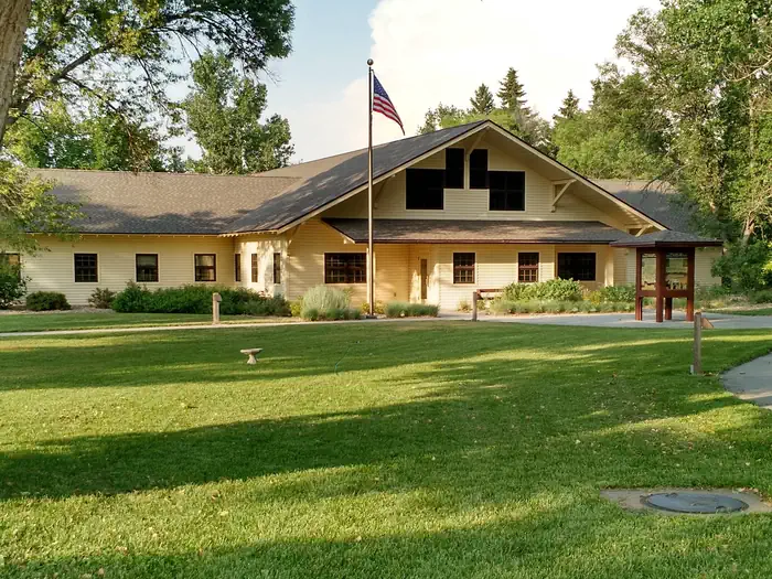
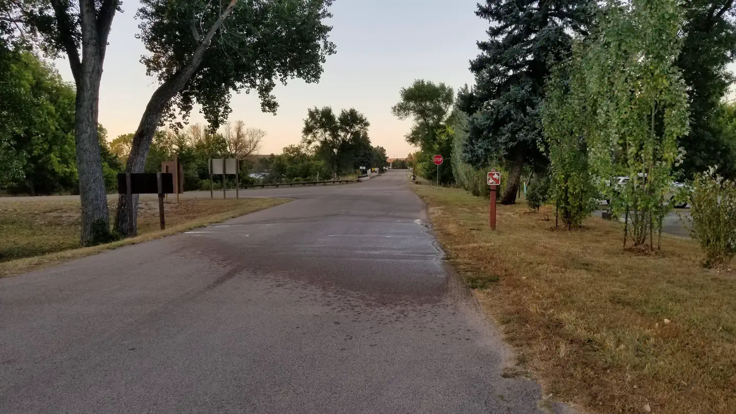
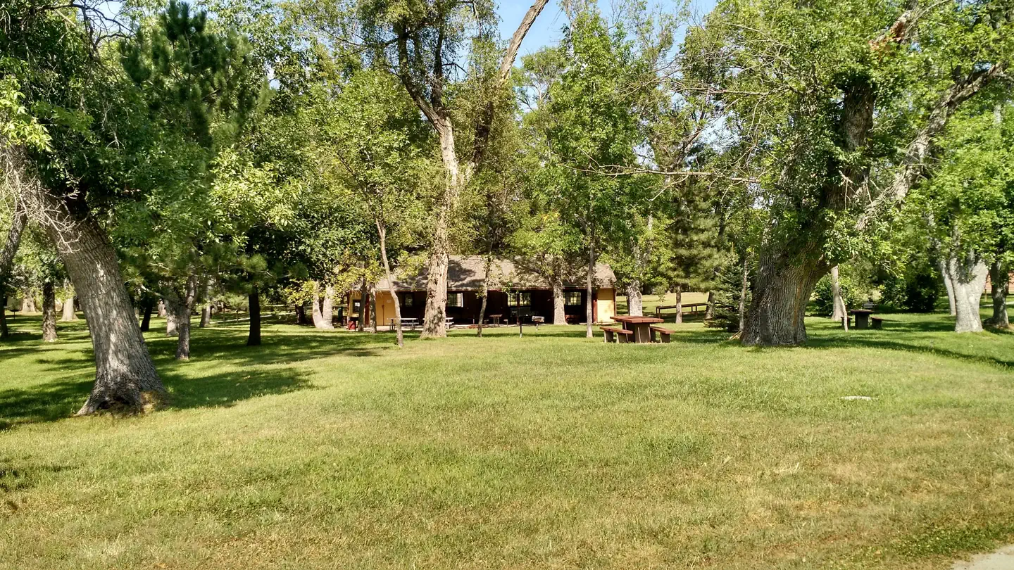
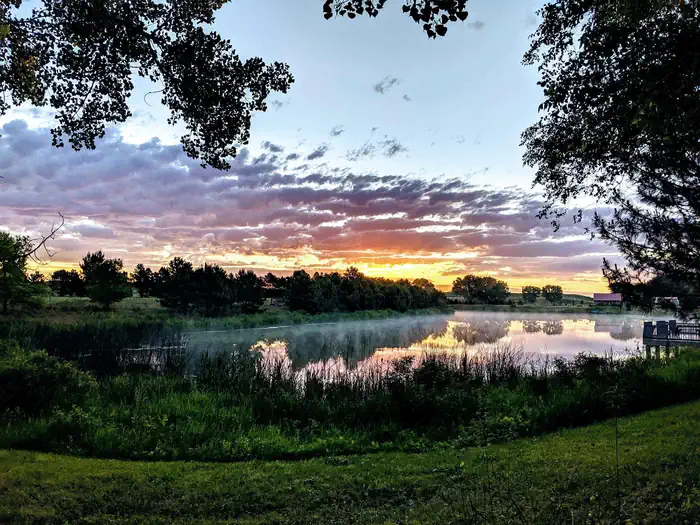
Overview Bessey Recreation Complex and campground is located in central Nebraska, adjacent to Middle Loup River, offering visitors opportunities to enjoy the scenery, relax, and recreate. Download the Recreation.gov app from your app store to pay online for first-come, first-serve sites. Recreation Waterfront activities are popular and plentiful at this facility. Adjacent to the campground, Middle Loup River is shallow and steady flowing, providing good conditions for tubing and canoeing. A seven acre pond stocked with largemouth bass, blue gill, trout and catfish offers great fishing for the whole family. There is also an accessible fishing pier. Facilities Bessey Recreation Complex has camping sites able to accommodate tents, trailers, and RVs, including one group site and several tent-only sites. The campground is equipped with picnic tables, campfire rings, seasonal flush toilets and drinking water. Electric hookups are available at the group site and several of the standard sites. A group picnic area is also available for use. Restaurants, gas stations and a grocery store are available in Thedford, Nebraska, 16 miles to the west. Halsey also has a restaruant, and Dunning 10 miles east has a gas station with groceries. Natural Features The Nebraska National Forest, Bessey Ranger District is located in western Nebraska. The campground within the Bessey Recreation Complex is located next to the Charles E. Bessey Nursery, oldest tree nursery in the Forest Service. Wildlife in the area abounds. Prairie chicken, sharp-tailed grouse, mule-deer, whitetailed deer, pronghorn antelope, prairie dogs, turkeys, coyotes, bobwhite quail, eagles, hawks and falcons all find habitat in surrounding ecosystems. Nearby Attractions Drive or hike to the Scott Lookout Tower for a fantastic panoramic view of Nebraska's sand hills and prairies.
From the USFS.
Is BESSEY RECREATION COMPLEX free?
No. BESSEY RECREATION COMPLEX charges a fee. It is managed by the USFS. Sites are reservable through fs.usda.gov.
How do I get to BESSEY RECREATION COMPLEX?
From Thedford, Nebraska, take Highway 2 about 17 miles east and then turn south (right) into the forest onto State Spur 86B. After crossing the river, continue straight
Nearby
No other services within 50 mi on the record.
SourceData from the USFS. Last synced September 19, 2026. Community reports and photos are submitted by travelers and are not verified by the agency.
