
WEST ASHTABULA CROSSING
Campground · Fee not listed
Fast facts
- Cost
- Not listed. Check locally.
- Type
- Campground
- Phone
- 701-845-2970
- Coordinates
- 47.1060, -98.0101
- Last verified
- September 19, 2026

About this place
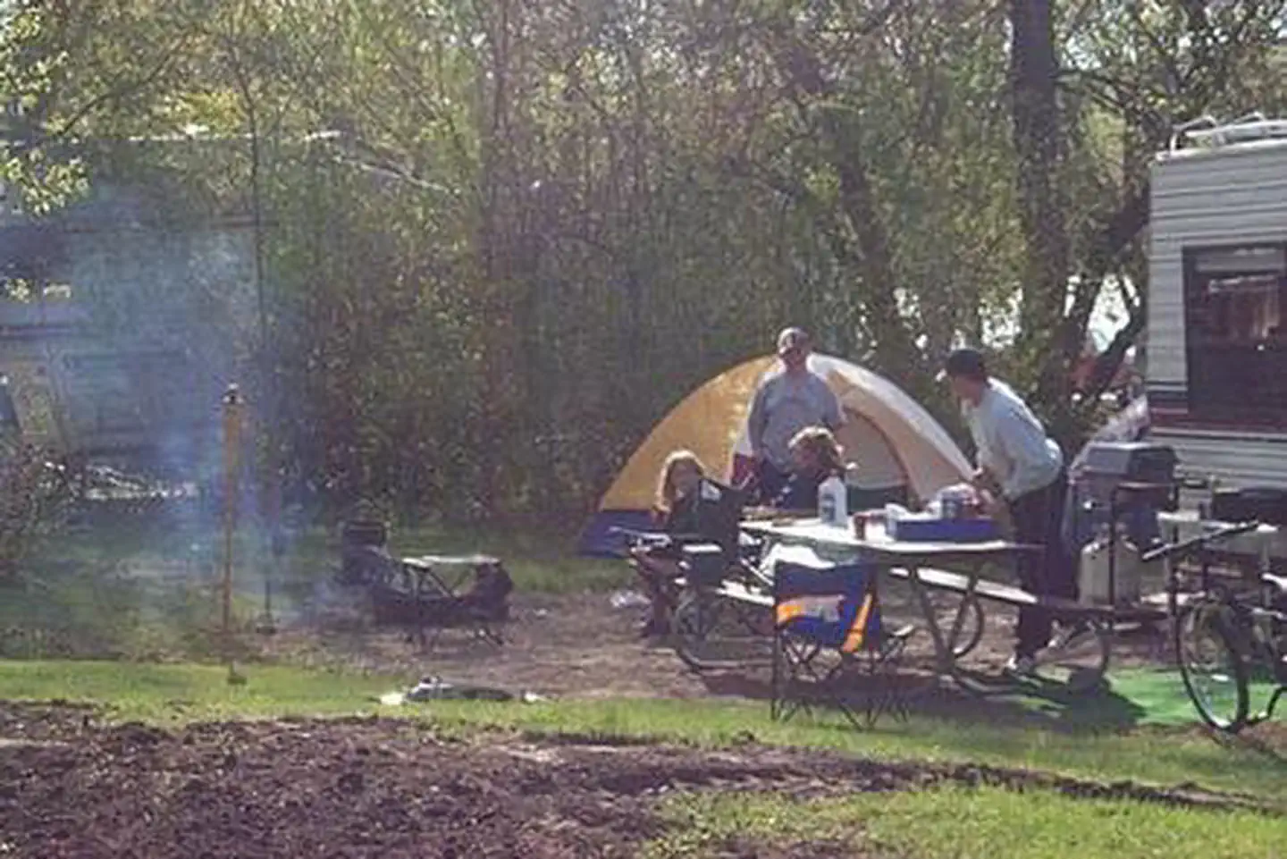
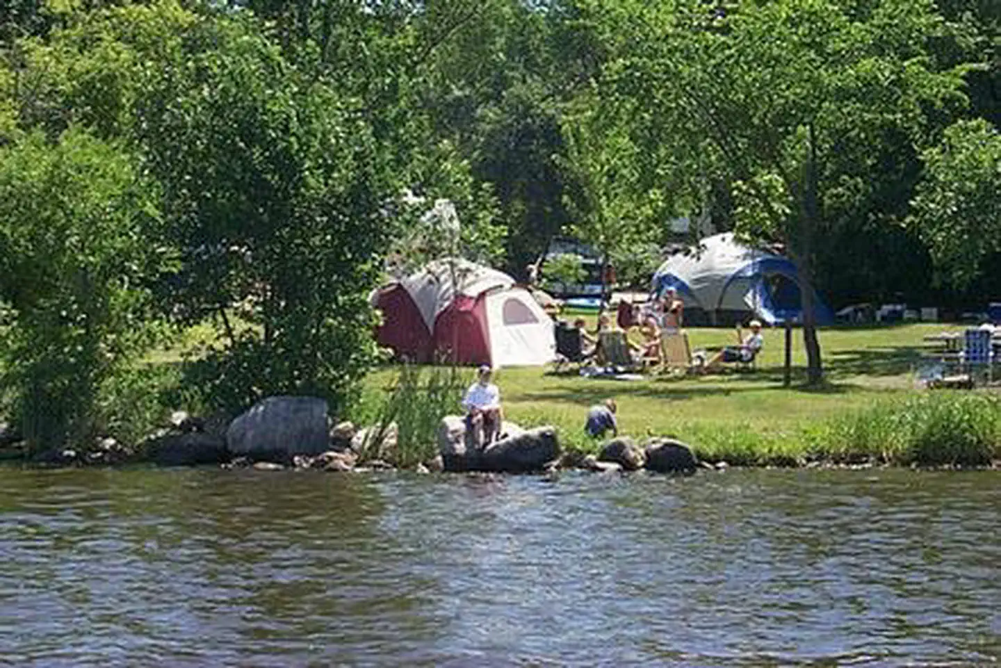
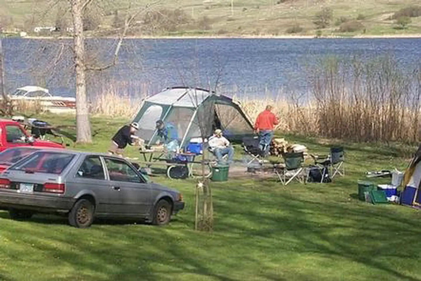
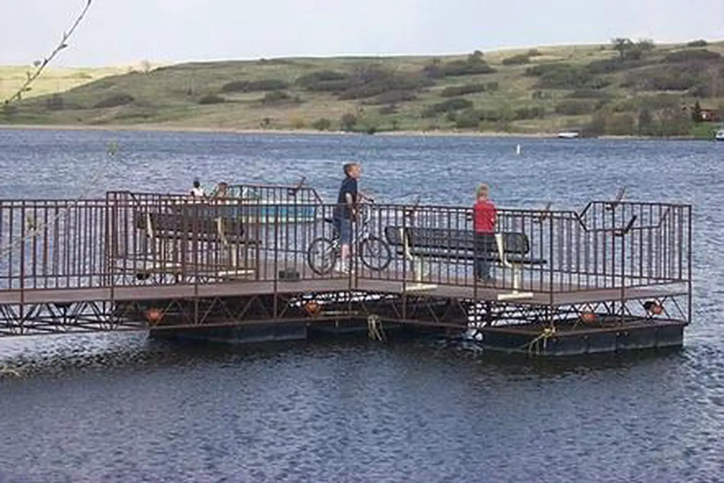
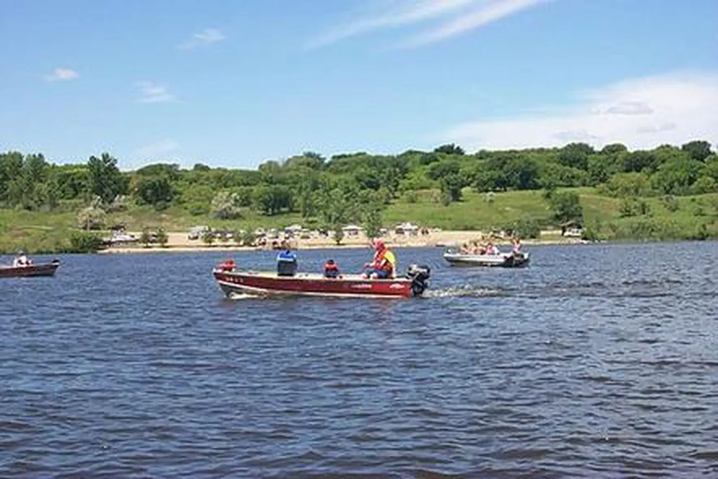
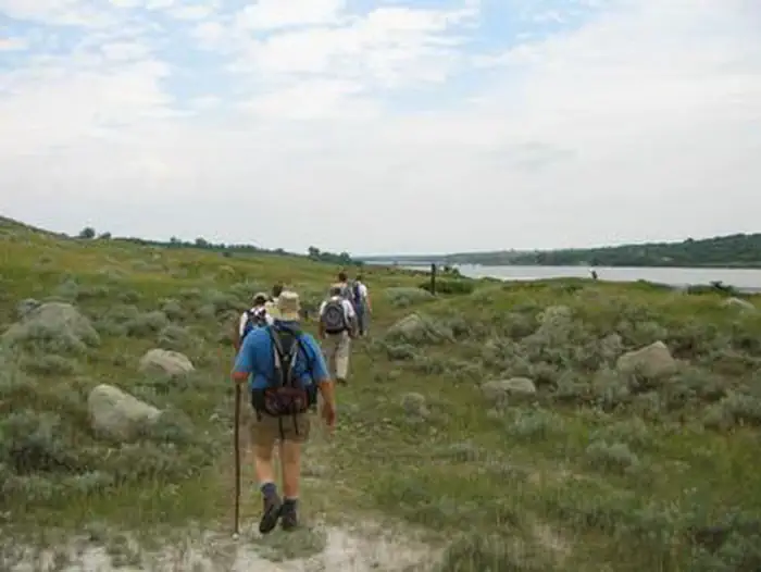
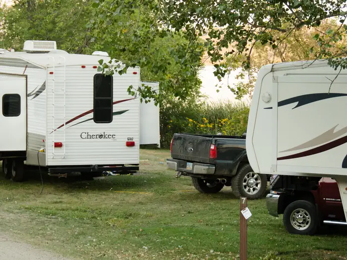
Overview West Ashtabula Crossing Campground is located on 23 developed acres adjacent to Lake Ashtabula in eastern North Dakota. It is very popular and fills up on most weekends. Lake Ashtabula was created by the construction of the Baldhill Dam on the Sheyenne River in 1944, and is situated in one of the most scenic river valleys in the region, offering visitors a wide range of recreation opportunities year-round. Summer activities include fishing, boating, swimming and picnicking, while Ice fishing and cross-country skiing are popular during winter months. Recreation The name "Ashtabula" is a Native American word meaning "Fish River," which suits the lake's fish population; popular species include walleye, northern pike, white bass, yellow perch and black bullhead. With seven boat ramps, three accessible fishing piers and four automated fish cleaning stations, the lake is very convenient for anglers. Nearly 3,000 acres of land around the lake is managed as wildlife habitat by the Corps of Engineers and open to the public for wildlife viewing, birding, hiking and hunting. Hunters and anglers should contact the North Dakota Game and Fish Department for seasons, restrictions and licenses; fishing licenses and bait may be purchased from concessionaires around the lake. Campers can also reach the 63-mile Sheyenne River Valley National Scenic Byway nearby and access the North Country National Scenic Trail from the campground. Facilities West Ashtabula Crossing has 38 campsites, 26 of which offer electric hookups. The facility also features a boat launch, dump station, fishing pier, fish cleaning station and picnic shelter. Campers will find a swimming beach, playground and restaurant less than one mile away. The nearest town is Valley City, 15 miles south. Natural Features The campground is on a wooded hillside offering shade for most sites. It lies amidst the 'prairie potholes' region of glacially-carved lakes in North Dakota. Spring and fall bring bountiful views of migratory water birds to Lake Ashtabula, including the unique white pelican, which can be seen in large flocks during summer. The lake region also provides habitat for white-tailed deer, sharptail grouse, wild turkey and gray partridge.
From the managing agency.
Is WEST ASHTABULA CROSSING free?
We do not have a fee on record for WEST ASHTABULA CROSSING. Confirm the cost locally before you go.
How do I get to WEST ASHTABULA CROSSING?
WEST ASHTABULA CROSSING is at 47.1060, -98.0101. We do not hold written directions for this one, so navigate to the coordinates.
Nearby
No other services within 50 mi on the record.
SourceSource data is agency published. Last synced September 19, 2026. Community reports and photos are submitted by travelers and are not verified by the agency.
