
Downstream Campground (ND)
Campground · Fee not listed
Fast facts
- Cost
- Not listed. Check locally.
- Type
- Campground
- Phone
- FOR INFORMATION, PLEASE CALL: FROM MAY 15 - SEPT 15: 701-654-7440; FROM SEPT 16 - MAY 14: 701-654-7411. FOR RESERVATIONS, PLEASE CALL 877-444-6777.
- Coordinates
- 47.4822, -101.4261
- Last verified
- September 19, 2026

About this place
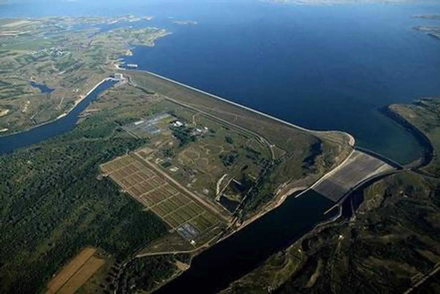
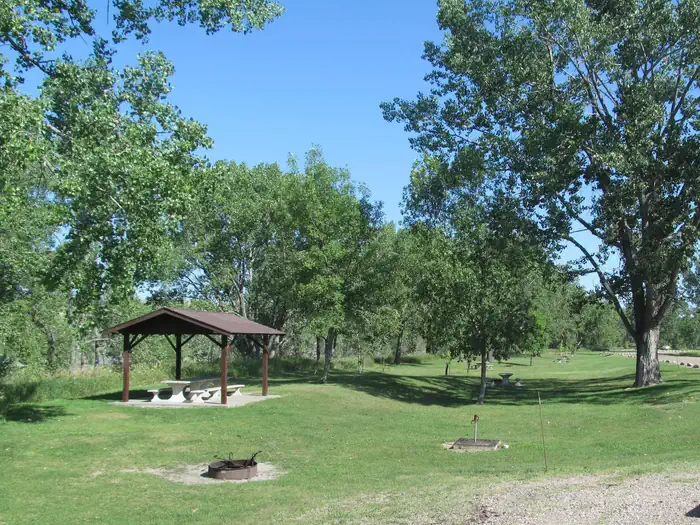
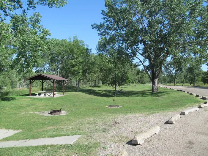
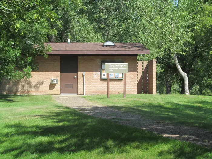
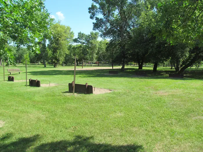
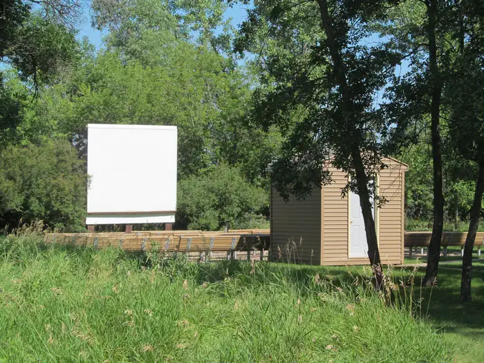
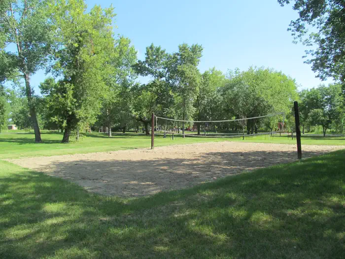
Overview The Downstream Campground is located on the East bank of the Missouri River below the Garrison Dam, which forms Lake Sakakawea. The area offers a wide variety of recreational activities, including boating, fishing, hiking, mountain biking, sailing, scuba diving, bird watching, and hunting. In the winter time the area offers a cross country ski trails and bow hunting opportunities. For more information, please visit the Garrision Dam & Lake Sakakawea website here . Recreation The Missouri River and Lake Sakakawea offers excellent boating, fishing, and hunting opportunities. Several state record fish have been caught down below the Garrison Dam on the Missouri River Tailrace and in Lake Sakakawea. Anglers fish for walleye, sauger, northern pike, bass, bluegill, crappie, cutthroat trout, rainbow trout, brown trout, white bass, large mouth and small mouth bass. Chinook salmon can be also found in the lake, the only body of water in the state with this species. The best catfishing around is found directly below Garrison Dam on the Missouri River. Younger visitors love the three playgrounds in the campground, while the volleyball courts and horseshoe pits are enjoyed by campers of all ages. There is an amphiteater located in the campground which offers events for families with kids. Saturday nights usually show a outdoor movie and offer games or ranger staff to provide a interpretive program. The nearby trout fishing pond has a fishing pier for easy access along miles of hiking and biking trails leading to the National Fish Hatchery for hours of family filled fun! The Riverdale State Wildlife Management Area is also located directly across the campground and offers great hunting opportunities, its 2,250 wooded acres are open to hunting for deer, pheasants, sharp-tail grouse, cottontail rabbits, and tree squirrels during open seasons. Facilities The campground consists of three loops with 98 electrical sites with either a 50/30/20 amp or 30/20 amp service and one loop for primitive camping with 16 primitive campsites; all sites have picnic tables and grills. Several amenities include flush and vault toilets, showers, drinking water, a fill and dump station, paved roads, paved sites, playground equipment, volleyball, and horseshoe pits. Natural Features The campground is located in a beautiful nautral cottonwood forest and is situated along the Missouri River with open grassy areas. Walk along the sand dunes along the Missouri River or the miles of walking trails leading to the National Fish Hatchery and trout fishing pond. Contact Info For facility specific information, please call (701) 654-7411. Nearby Attractions Garrison Dam National Fish Hatchery is minutes from the campground and is open to the public. A visitor center, complete with five 400-gallon aquariums, provides great opportunities to view the fish of North Dakota in their environment. The Garrison Dam Power Plant offers tours during the months of June, July and the first part of August on Thursdays, Fridays, and Saturdays at 2pm. Lake Sakakawea State Park Audubon National Wildlife Refuge Charges & Cancellations Reservation changes and cancellations can be made on Recreation.gov or by calling 1-877-444-6777. For more information on rules and policies regarding reservation cancellations and changes, please visit: https://www.recreation.gov/rules-reservation-policies .
From the managing agency.
Is Downstream Campground (ND) free?
We do not have a fee on record for Downstream Campground (ND). Confirm the cost locally before you go.
How do I get to Downstream Campground (ND)?
Downstream Campground (ND) is at 47.4822, -101.4261. We do not hold written directions for this one, so navigate to the coordinates.
Nearby
No other services within 50 mi on the record.
SourceSource data is agency published. Last synced September 19, 2026. Community reports and photos are submitted by travelers and are not verified by the agency.
