
STANDING INDIAN CAMPGROUND
Campground · Fee
Fast facts
- Cost
- Fee charged
- Type
- Campground
- Phone
- 828-524-6441
- Nearest dump station
- Deep Creek RV Sanitary Station · 26.9 mi
- Coordinates
- 35.0786, -83.5319
- Last verified
- September 19, 2026
About this place
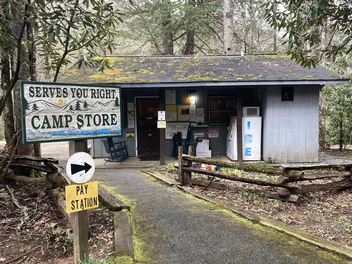
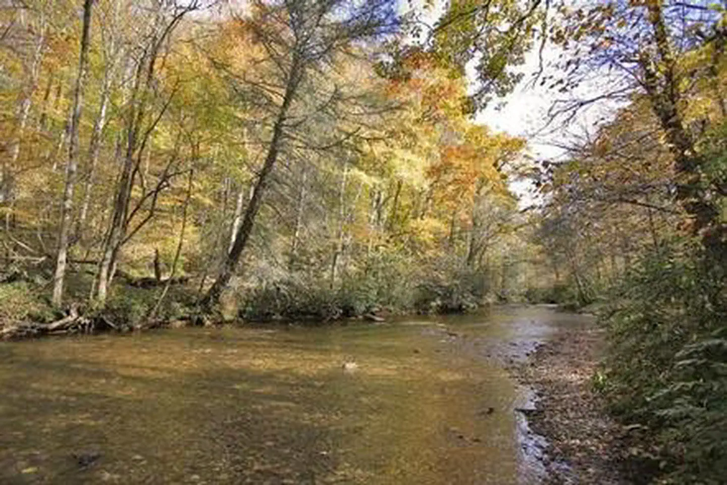
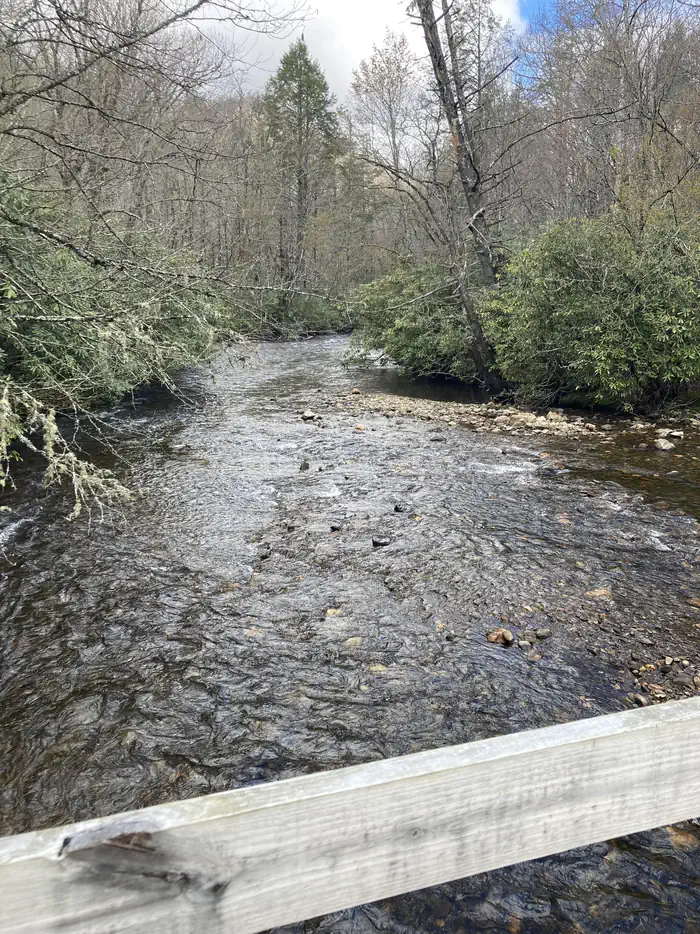
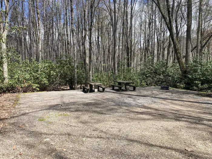
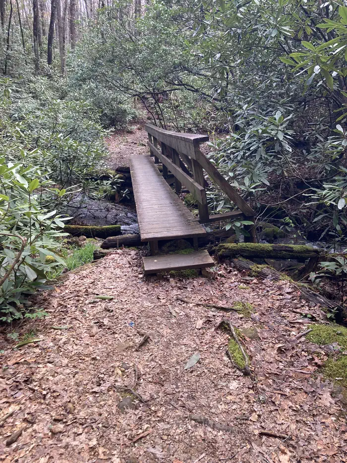
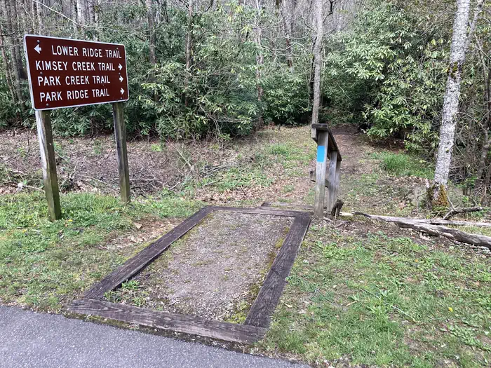
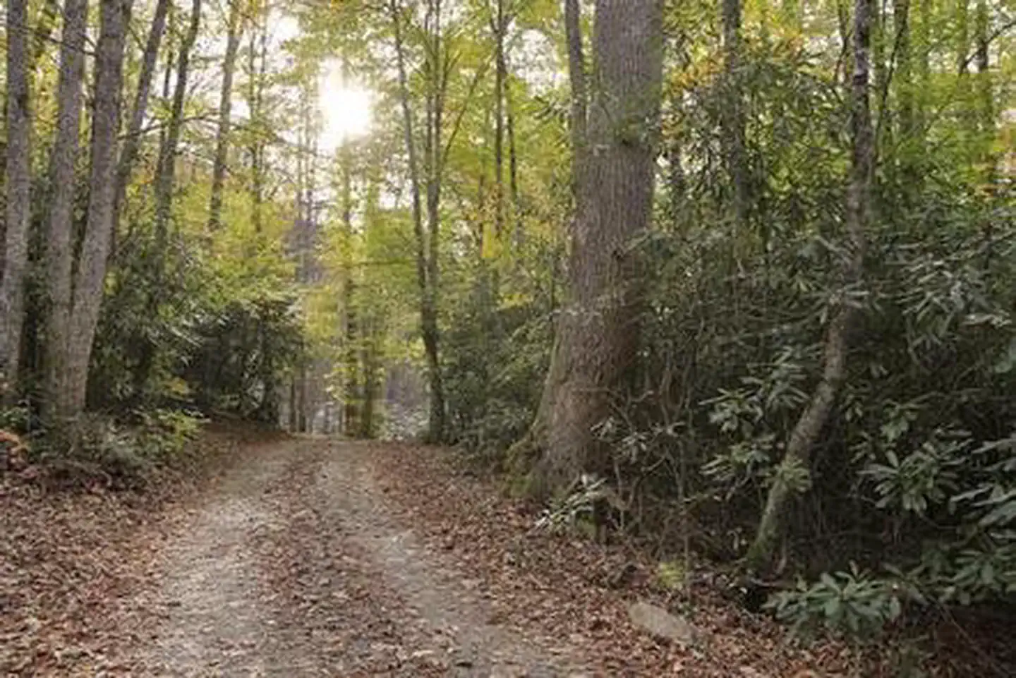
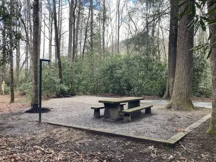
Overview Whether traveling with an RV or tent, Standing Indian Campground is a prime place to stop for a night or spend several days in the picturesque Nantahala National Forest. The campground's many amenities provide a comfortable home base for exploring this fun and historic section of the forest. Standing Indian is located within a 20-minute drive of Franklin, North Carolina. Recreation The Standing Indian Basin is a premier hiking destination. The campground provides access to numerous trails, including the world-famous Appalachian Trail, which journeys from Georgia to Maine. Visitors who wish to get their feet wet can experience the Nantahala River, well-known for whitewater rafting, kayaking and trout fishing (fishing license required). Big and small game hunting is available in the surrounding area. Facilities The campground has four loops with sites available first-come, first-served or by reservation. Sites are equipped with campfire rings, grills, lantern posts and picnic tables, and are in close proximity to drinking water, flush toilets and showers. A dump station is nearby. The campground also has a group camping area, Kimsey Creek. Natural Features The campground is surrounded by 5,000' peaks and crossed by several natural streams. It sits at an elevation of 3,880 feet at the headwaters of the scenic Nantahala River, amidst lush forests of evergreen trees and rhododendrons. Charges & Cancellations There is not a premium type site available but there is some nonelectric double site that is $40.00 per night.
From the managing agency.
Is STANDING INDIAN CAMPGROUND free?
No. STANDING INDIAN CAMPGROUND charges a fee.
How do I get to STANDING INDIAN CAMPGROUND?
STANDING INDIAN CAMPGROUND is at 35.0786, -83.5319. We do not hold written directions for this one, so navigate to the coordinates.
Nearby
SourceSource data is agency published. Last synced September 19, 2026. Community reports and photos are submitted by travelers and are not verified by the agency.
