
KING'S MOUNTAIN POINT PICNIC PAVILION (NC)
Campground · Fee not listed
Fast facts
- Cost
- Not listed. Check locally.
- Type
- Campground
- Phone
- 910-576-6391
- Coordinates
- 35.4550, -80.0783
- Last verified
- September 19, 2026
About this place
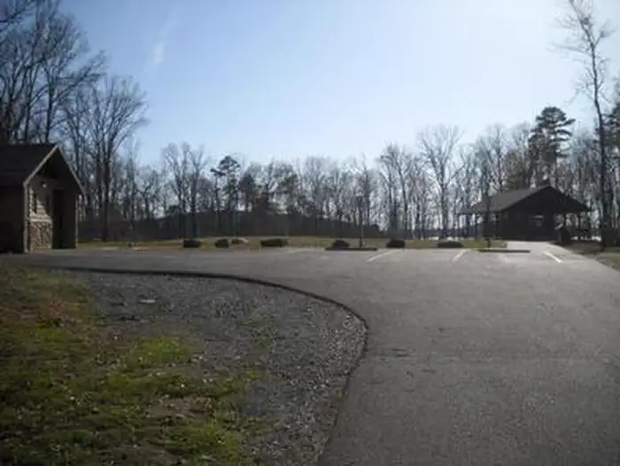
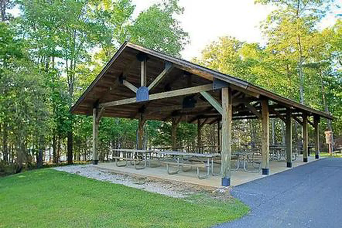
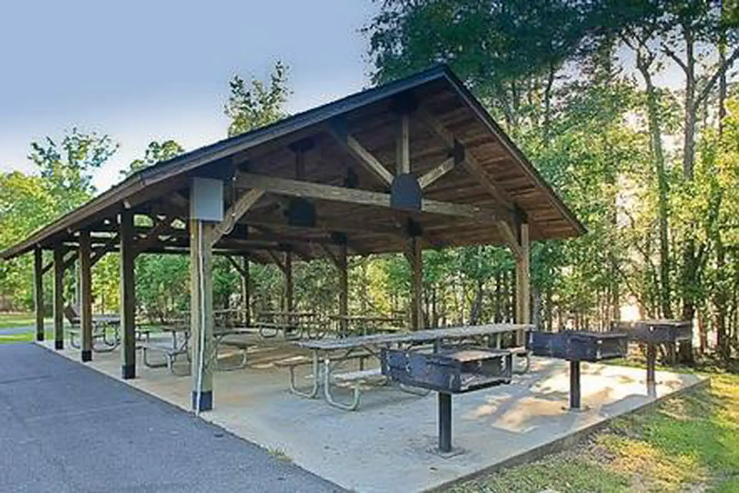
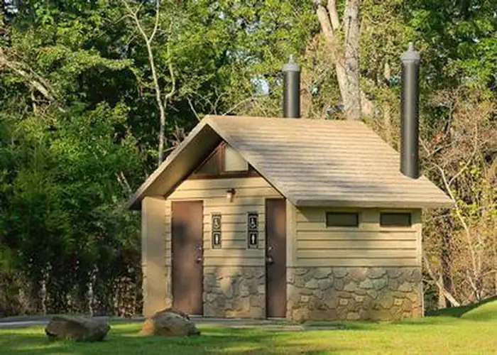
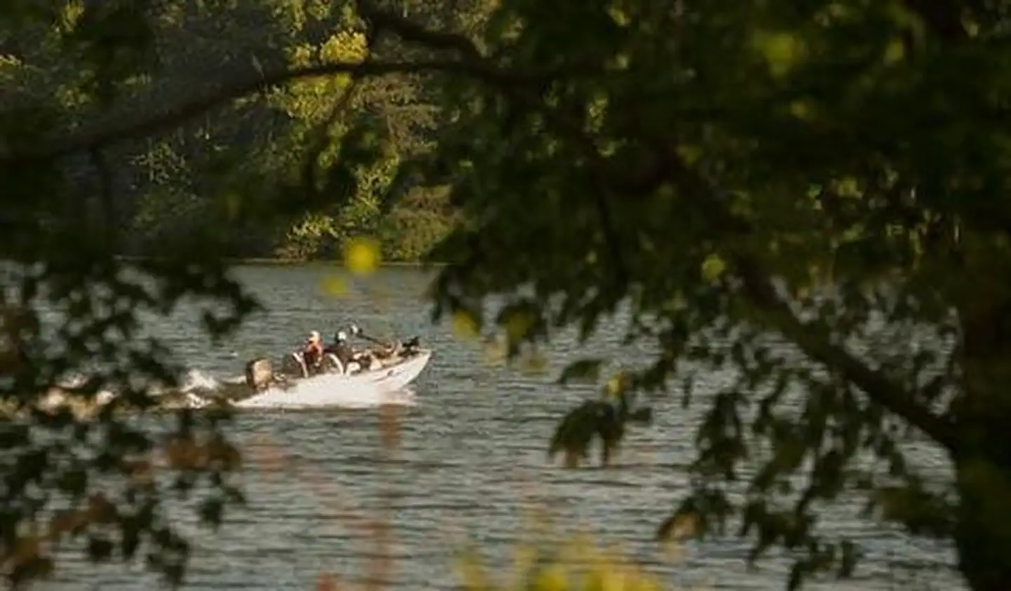
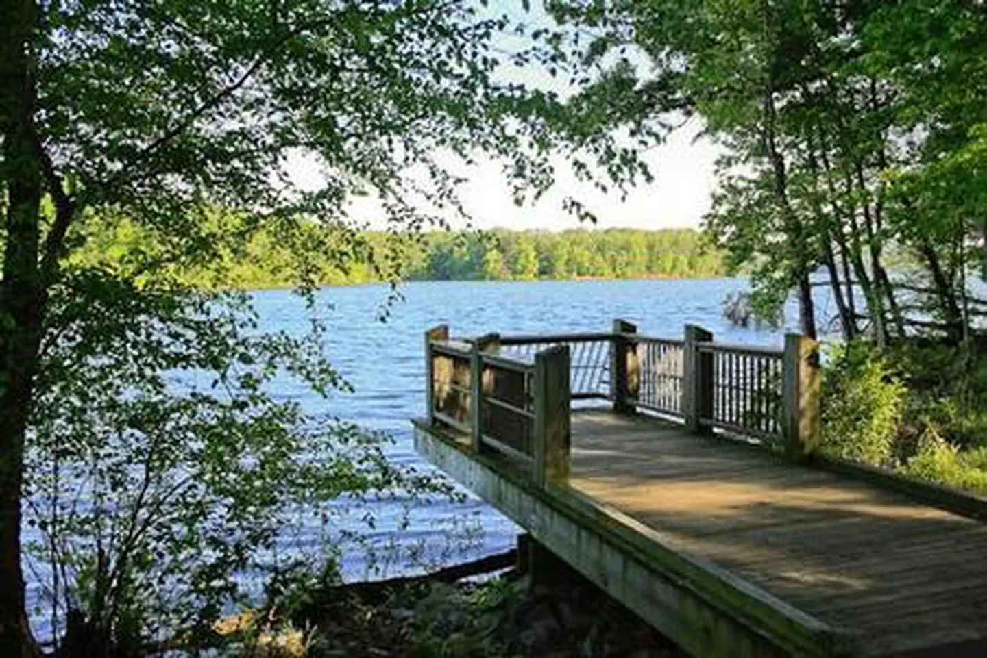
Overview King's Mountain Point Day Use Area is located on the shores of Badin Lake north of Troy, NC in Montgomery County. The biggest fishing hole in the Uwharrie National Forest is Badin Lake. This 5,350-acre impoundment of the Yadkin River was built in 1917 by the Aluminum Company of America (ALCOA) to generate hydroelectric power for the aluminum plant at Badin. The eastern shore borders the National Forest and the lake is well stocked with catfish, bream, largemouth, white and striped bass. Recreation The King's Mountain Point Day Use Area offers access to 4 accessible fishing piers, the Badin Lake Hiking Trail and a 0.5 mile paved, accessible trail around the day use area with splendid views of the lake. Additionally, there is a 9 hole, disc golf course. You can bring your own Frisbees or Discs or sign them out from our Day Use Host that is on site. Facilities King's Mountain Point Day Use Area offers a picnic shelter with 9 picnic tables and 3 large BBQ grills. There are 6 electrical outlets of 30 amps at the picnic pavilion, but no lights built into the pavilion. The pavilion is accessible and it has flush toilets located near this facility. Additionally, there are 3 vault toilets at the day use area. Natural Features This picnic shelter is located in a large field bordered by trees and is located on Badin Lake in the Uwharrie National Forest. This point is forested by mixed hardwoods and pines. This area has great fishing for all anglers to enjoy.
From the managing agency.
Is this site free?
We do not have a fee on record for this site. Confirm the cost locally before you go.
How do I get to this site?
this site is at 35.4550, -80.0783. We do not hold written directions for this one, so navigate to the coordinates.
Nearby
- BADIN LAKE GROUP CAMP0.4 mi
- BADIN LAKE CAMPGROUND0.5 mi
- ARROWHEAD CAMPGROUND1.2 mi
- CANEBRAKE HORSE CAMP2.0 mi
- Art Lilley Campground3.2 mi
No other services within 50 mi on the record.
SourceSource data is agency published. Last synced September 19, 2026. Community reports and photos are submitted by travelers and are not verified by the agency.
