
COLLINS CREEK PICNIC PAVILION
Campground · Fee
Fast facts
- Cost
- Fee charged
- Type
- Campground
- Phone
- 828-497-9270
- Nearest dump station
- Smokemont RV Sanitary Station · 1.8 mi
- Coordinates
- 35.5672, -83.3339
- Last verified
- September 19, 2026

About this place
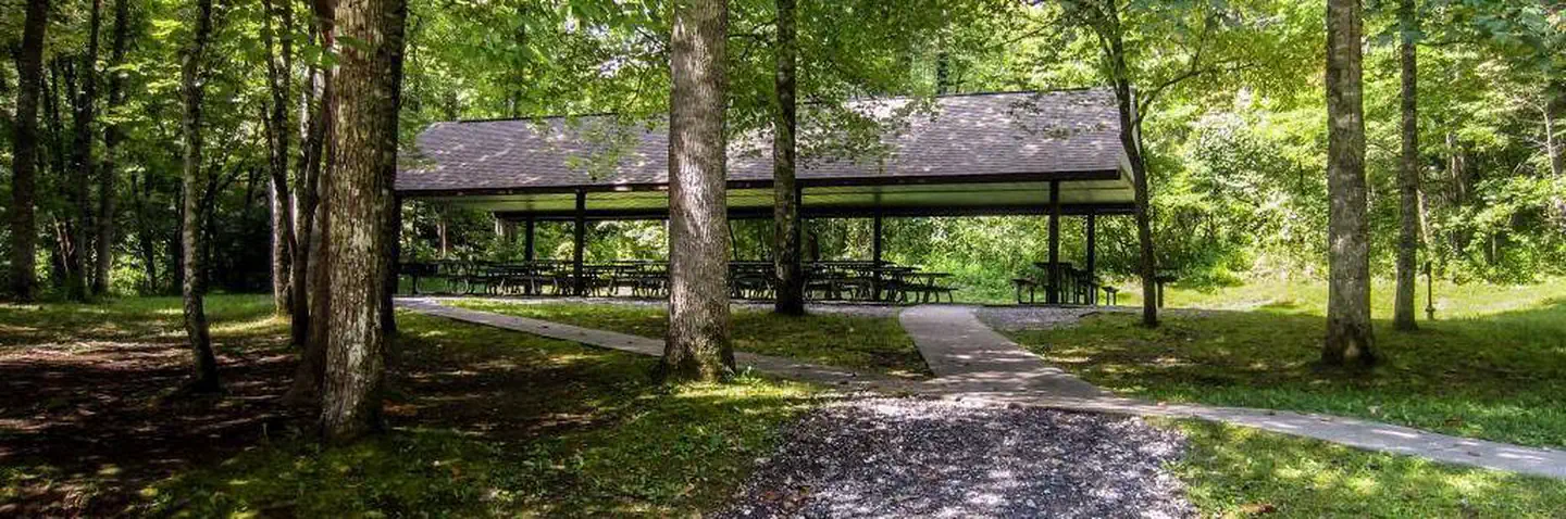
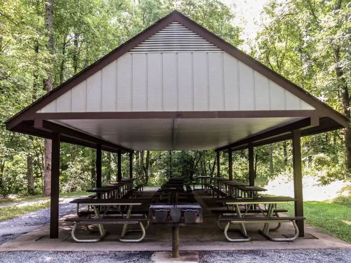
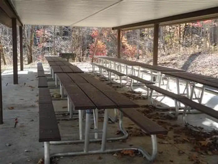
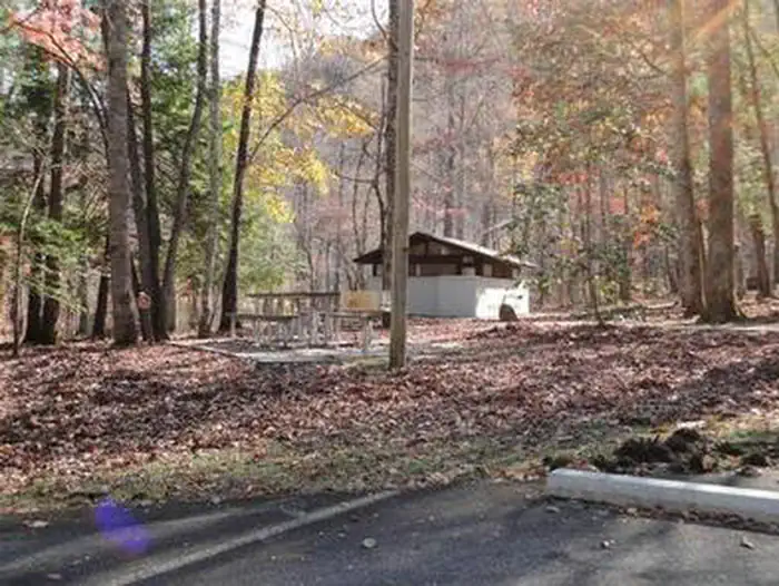
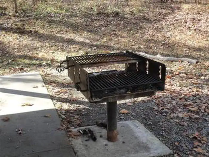
Overview Collins Creek, tucked into picturesque mountain ranges and surrounded by pristine mountain streams, is the perfect backdrop for your party or family get-together. Whether blanketed in bright wildflowers in the spring or vivid colors in the fall, the scenery at Collins Creek never disappoints. Recreation Great Smoky Mountains National Park is a hiker's paradise, with nearby trails including the 3.9-mile Smokemont Loop Trail, Bradley Fork Trail and Newton Bald Trail. The Oconaluftee River offers some of the best trout fishing in the park. Downstrean from the confluence with the Bradley Fork, the Oconaluftee River opens up and features large grassy meadows, which are not too heavily populated with anglers. The park holds one of the best collections of log buildings in the eastern United States. Over 90 historic structures, including houses, barns, outbuildings, churches, schools and grist mills, have been preserved or rehabilitated in the park. History buffs will be delighted to know that a good portion of the surrounding land is a designated part of the Oconaluftee Archaeological District, which is listed on the National Register of Historic Places. Facilities Collins Creek is the ideal location for a group day trip. A large pavilion with tables and multiple grills provides a convenient place for visitors to prepare meals while enjoying the stunning backdrop. The pavilion can hold approximately 70 guests, with four charcoal grills and 15 picnic tables. Visitors should also be aware that while the site meets accessibility standards, the restrooms do not. Natural Features Located in the Great Smoky Mountains National Park at an elevation of 2,600 ft., Collins Creek provides a moderate climate, characterized by mild winters and hot, humid summers. The Pavilion is located nearby the Oconaluftee River and the Oconaluftee Visitors Center, the gateway to the North Carolina section of the Smokies. The Qualla Boundary, commonly known as Cherokee, North Carolina, is roughly 8 miles south of the pavilion. This area serves as a reservation for the Eastern Band of the Cherokee nation, who inhabited this area long before early Euro-American settlements. Oconaluftee comes from the Cherokee village name meaning, "by the river." Nearby Attractions The Oconaluftee Visitor Center, located just six miles away, features museum exhibits that tell the story of life in the Smoky Mountains dating back to early native Americans. The adjacent Mountain Farm Museum highlights a large collection of historical log structures. Charges & Cancellations Customers who cancel a day-use facility reservation less than 14 days before the arrival date will forfeit the total day-use fee.
From the managing agency.
Is COLLINS CREEK PICNIC PAVILION free?
No. COLLINS CREEK PICNIC PAVILION charges a fee.
How do I get to COLLINS CREEK PICNIC PAVILION?
COLLINS CREEK PICNIC PAVILION is at 35.5672, -83.3339. We do not hold written directions for this one, so navigate to the coordinates.
Nearby
SourceSource data is agency published. Last synced September 19, 2026. Community reports and photos are submitted by travelers and are not verified by the agency.
