
CEDAR POINT CAMPGROUND
USFS · Campground · Fee
Fast facts
- Cost
- Fee charged
- Managed by
- USFS
- Type
- Campground
- Hours
- 24 hours
- Reservations
- recreation.gov
- Phone
- 252-638-5628
- Coordinates
- 34.6931, -77.0822
- Last verified
- September 19, 2026
About this place
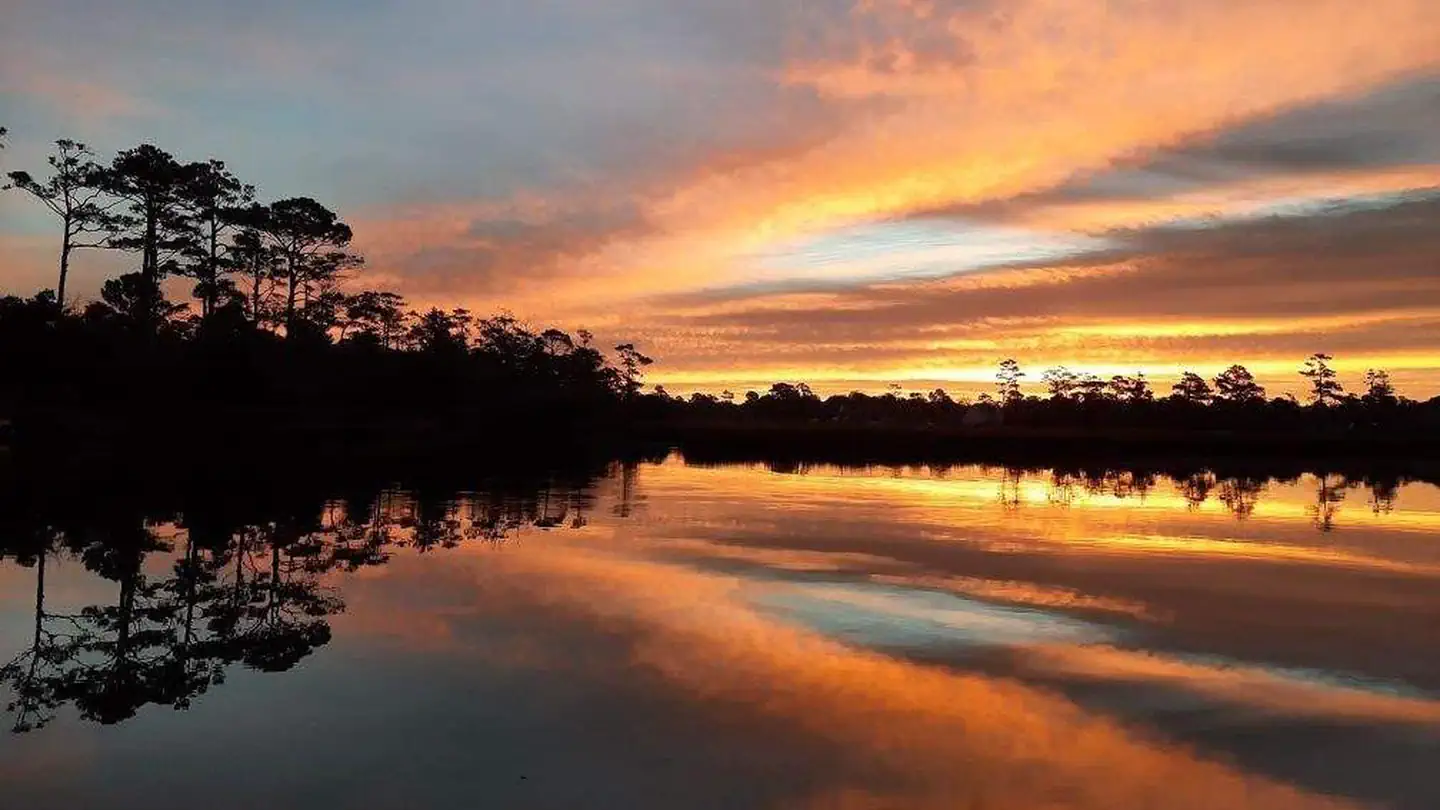
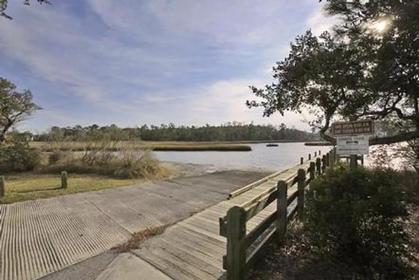
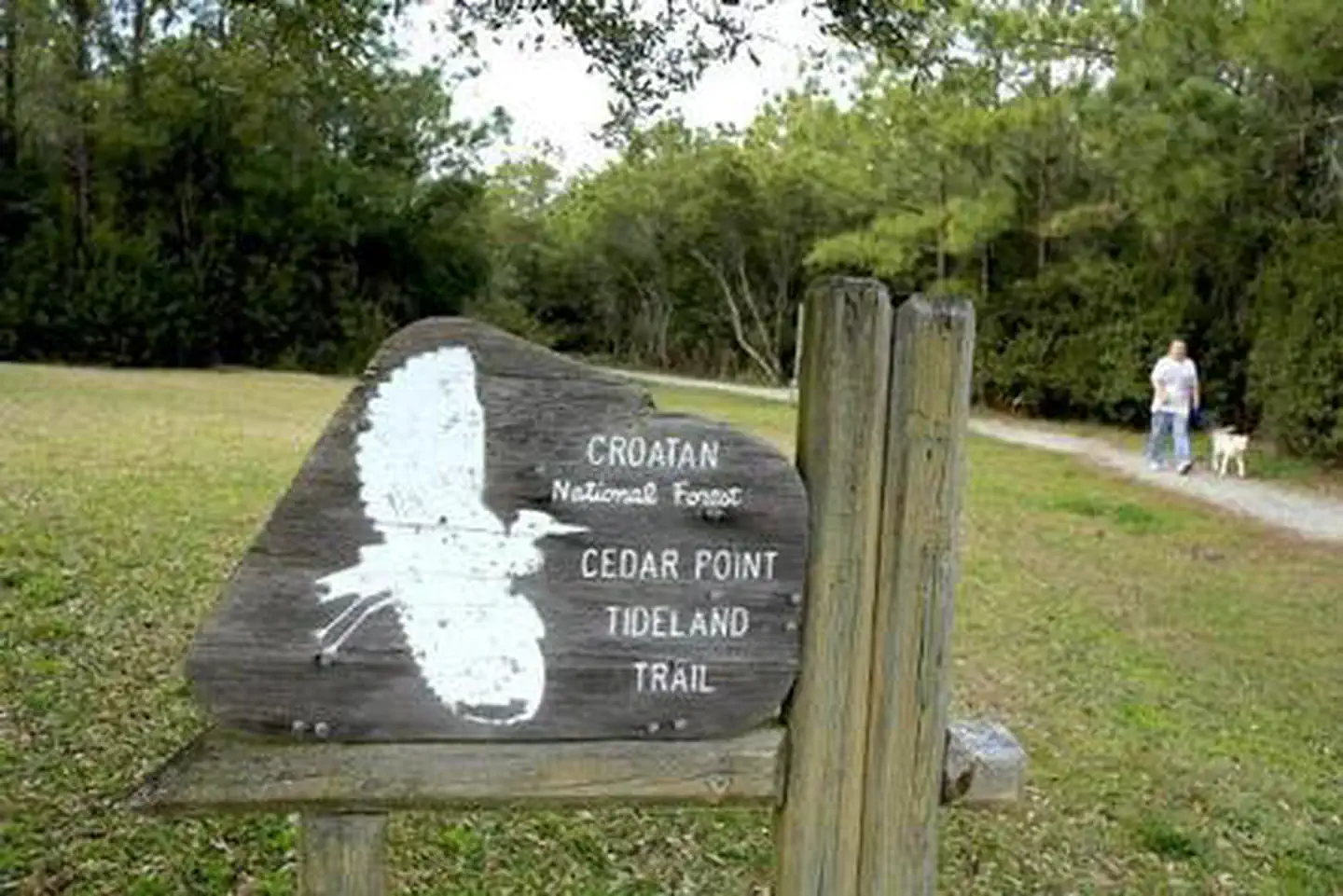
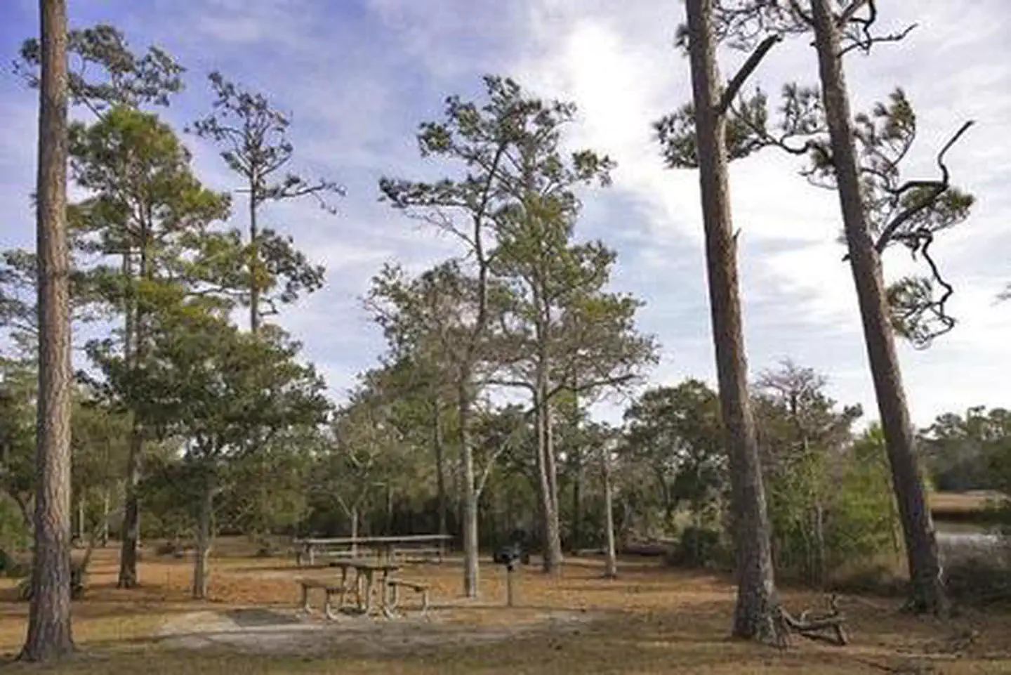
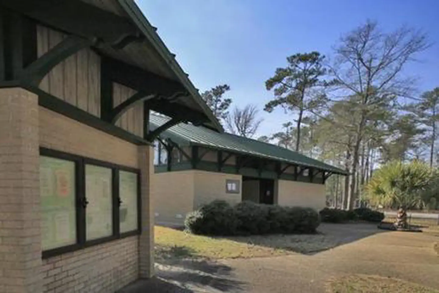
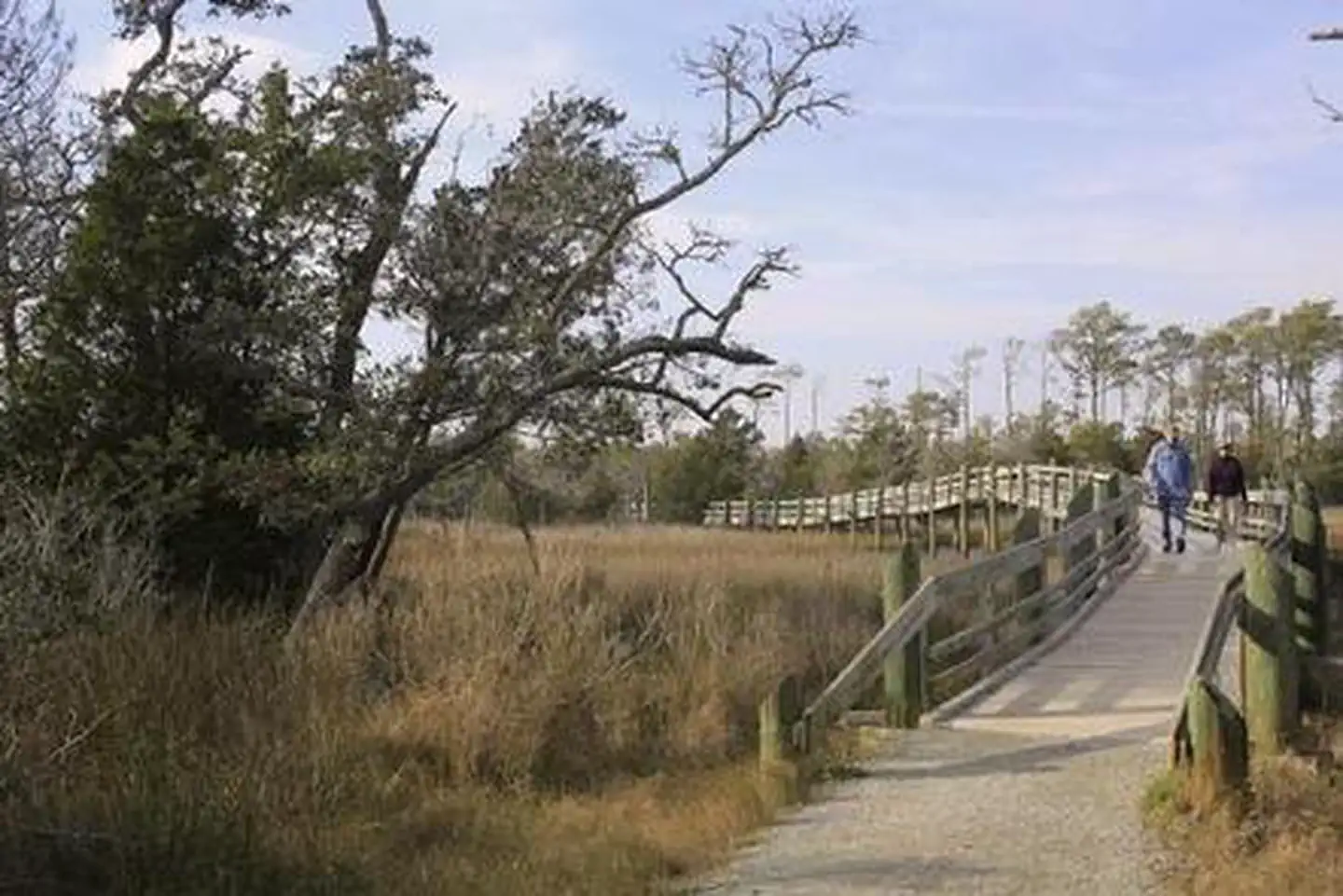
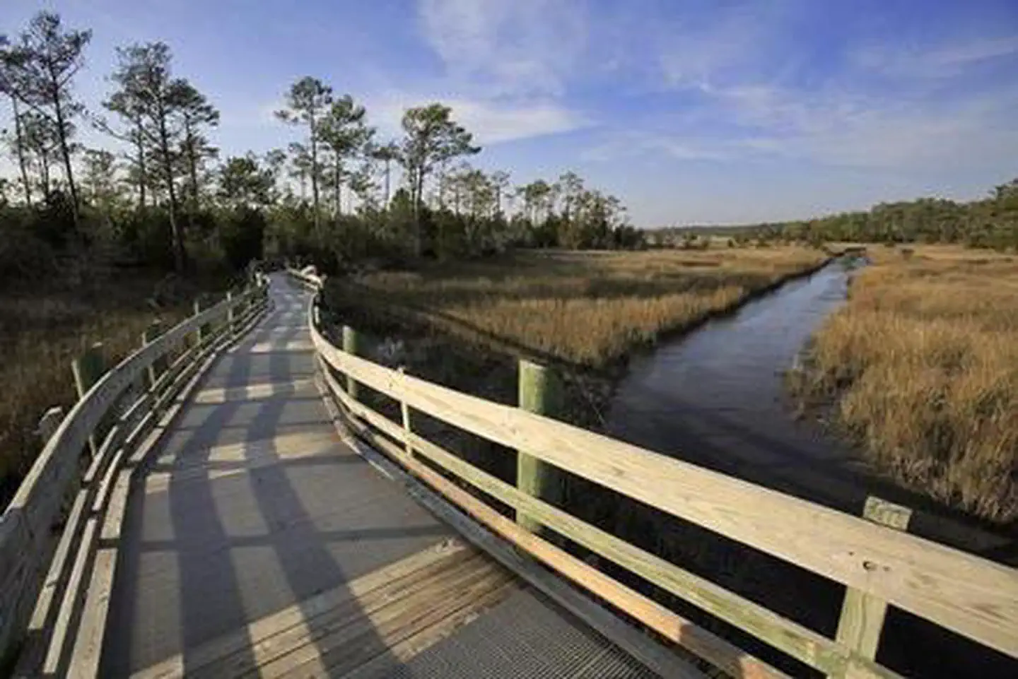
Overview Cedar Point Campground and Recreation Area is located in eastern North Carolina at the junction of the White Oak River and the Bogue Sound, immediately adjacent to the Swansboro Inlet. It is within 1 mile of full service shopping, and within 2 miles of NC's Crystal Coast and the barrier island beach community of Bogue Banks. The campground is extremely busy and reservations are recommended but must be made 3 days in advance. Of the 36 campsites, 4 are considered first-come, first served campsites that cannot be reserved or held, so a person must physically be there with their camping equipment to purchase the campsite. Cedar Point campground has the option to use Scan & Pay system, but by the rules of recreation.gov it may only be used for first-come, first served sites. Please make sure to contact a campground host to ensure availability before paying for any campsite. Failure to check with the campground host for availability may result in the loss of your camping fee. Recreation Canoeing and fishing are popular options. Power boating is allowed on the White Oak River. Visitors can hike the Tidelands National Trail, a 1.9-mile path divided in two loops that lend themselves to wildlife viewing. Ospreys and the occasional dolphin can be viewed along the loops. The recreation area is also home to a picnic area and shallow draft boat launch. Facilities The campground has 36 accessible sites with full electrical service (20/30/50 amps). A modern, state-of-the-art bath house is available, with private, hot showers. Accessible flush toilets, and a dump station with potable water connection is also provided. 32 of the 36 sites may be reserved using the recreation.gov website, app, or call center and 4 sites are first com-first served campsites that cannot be held or reserved. Natural Features Cedar Point, at the mouth of the White Oak River, is bordered by a salt marsh and a coastal forest. The salt marsh, where fresh water meets salt water, stretches out like a sea of grass. This nutrient-rich wetland is a valuable habitat for commercial seafood, including fish, shrimp, crabs and oysters. The recreation area is part of the Croatan National Forest, a 160,000-acre tract on North Carolina's coast, bordered on three sides by tidal rivers and Bogue Sound. Contact Info For facility specific information, please call (252) 638-5628. Nearby Attractions The campground is a short drive from the developed barrier island town of Bogue Banks. Charges & Cancellations There is a $10.00 fee to cancel Reservations. Reservations canceled within the 3 days of arrival may result in the loss of the fee for one or more nights stay. Refunds for weather or checking out early will not be considered
From the USFS.Official page
Is CEDAR POINT CAMPGROUND free?
No. CEDAR POINT CAMPGROUND charges a fee. It is managed by the USFS. Sites are reservable through recreation.gov.
How do I get to CEDAR POINT CAMPGROUND?
CEDAR POINT CAMPGROUND is at 34.6931, -77.0822. We do not hold written directions for this one, so navigate to the coordinates.
Nearby
- OYSTER POINT CAMPGROUND18.8 mi
- Oyster Point Camp18.8 mi
- FLANNERS BEACH CAMPGROUND21.3 mi
- GREAT ISLAND CABIN CAMP38.4 mi
- South Core Banks -- Beach camping38.4 mi
- North Core Banks - Beach Camping49.0 mi
- LONG POINT CABIN CAMP49.0 mi
No other services within 50 mi on the record.
SourceData from the USFS. Last synced September 19, 2026. Community reports and photos are submitted by travelers and are not verified by the agency.
