
BOOMER PARK SHELTER
Campground · Fee not listed
Fast facts
- Cost
- Not listed. Check locally.
- Type
- Campground
- Phone
- 336-921-3390
- Coordinates
- 36.0954, -81.2768
- Last verified
- September 19, 2026
About this place
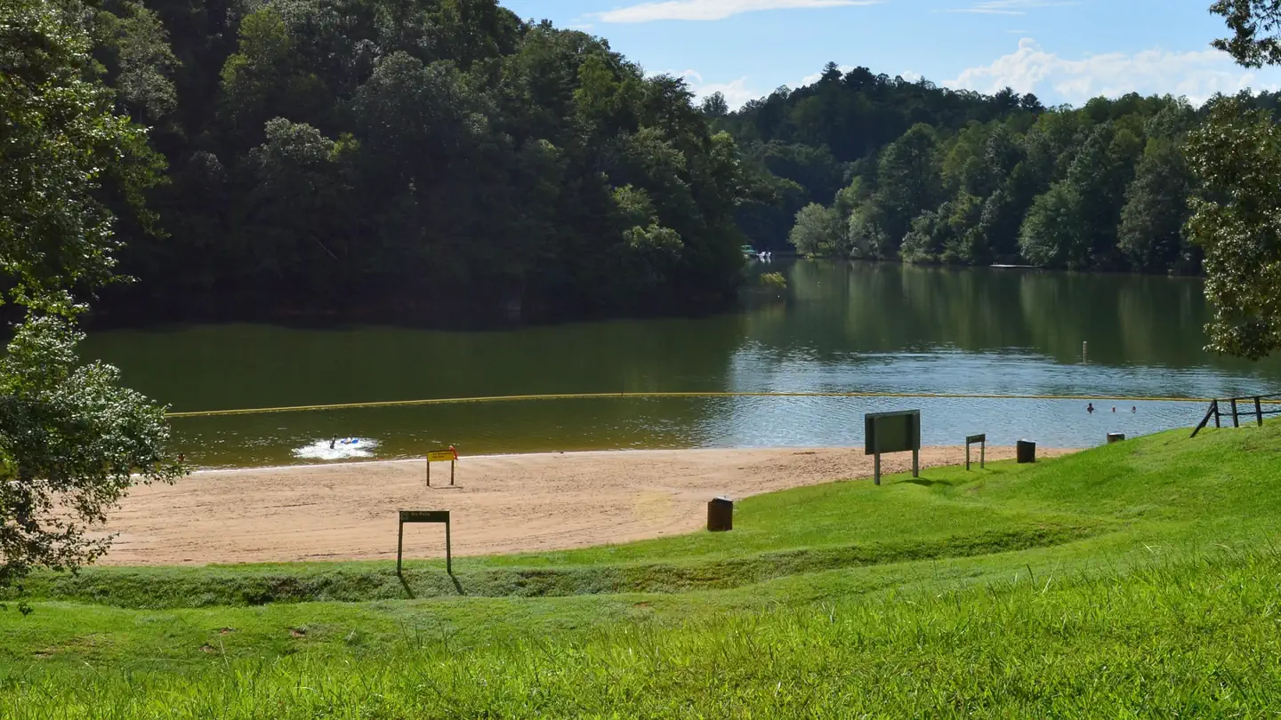
Overview Boomer Park Shelter is located in Boomer Park at W. Kerr Scott Dam and Reservoir in northwestern North Carolina. Recreation The 1,475-acre reservoir offers excellent boating, canoeing, kayaking and swimming opportunities. Anglers will find channel catfish, large and smallmouth bass, bluegill, threadfin shad, spotted bass, striped bass, and hybrid striped bass. Facilities This lakefront shelter offers six, 7-foot picnic tables. A water spigot can be found at the shelter but there is no electricity available. You can enjoy other park amenities which include a playground, grill, accessible vault toilets, swim beach, and a boat ramp. Natural Features The gentle Yadkin River flows through its scenic namesake valley in the foothills of the eastern Blue Ridge Mountains. Forests of mixed hardwoods, including sycamore, poplar, oak and hickory, cover the region. Wildlife is abundant in the valley. White-tailed deer, black bear, eastern cottontails and more can be found among the hills. Birds in the area include wild turkey, woodpeckers, Carolina chickadees, red-eyed vireo, ovenbirds, mallards and wood ducks.
From the managing agency.
Is BOOMER PARK SHELTER free?
We do not have a fee on record for BOOMER PARK SHELTER. Confirm the cost locally before you go.
How do I get to BOOMER PARK SHELTER?
BOOMER PARK SHELTER is at 36.0954, -81.2768. We do not hold written directions for this one, so navigate to the coordinates.
Nearby
- WARRIOR CREEK0.6 mi
- KEOWEE PARK SHELTER 0.7 mi
- BANDITS ROOST2.3 mi
- FORT HAMBY PARK2.4 mi
- BERRY MOUNTAIN PARK SHELTER2.7 mi
- Dam Site Shelter3.6 mi
- W. Kerr Scott Visitor Assistance Center Conference Room3.7 mi
- Fish Dam Creek Park4.0 mi
No other services within 50 mi on the record.
SourceSource data is agency published. Last synced September 19, 2026. Community reports and photos are submitted by travelers and are not verified by the agency.
