
WEST FORK CABIN (W OF CHOTEAU)
Campground · Fee not listed
Fast facts
- Cost
- Not listed. Check locally.
- Type
- Campground
- Phone
- 406-466-5341
- Coordinates
- 47.9639, -112.8072
- Last verified
- September 19, 2026

About this place
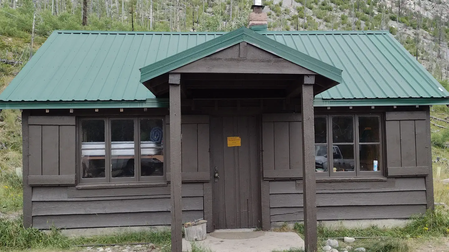
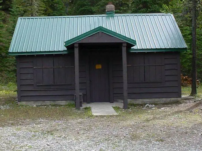
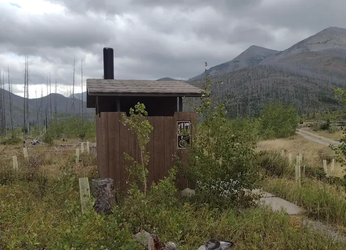
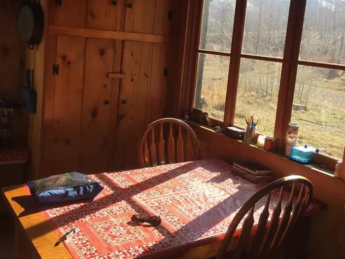
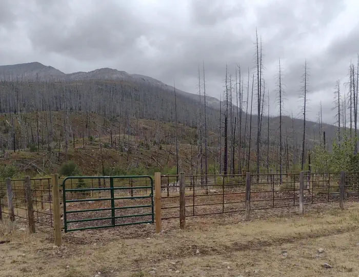
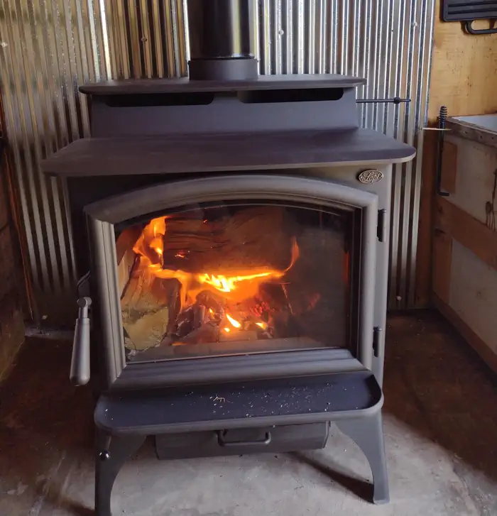
Overview West Fork Cabin is a rustic Forest Service Guard Station located 39 miles northwest of Choteau, Montana, on the Rocky Mountain Front Range. The cabin is a stone’s throw from the North Fork Teton River and about 3.5 miles beyond Teton Pass Ski Resort. Open year-round, the cabin provides access to a wide range of summer and winter recreation activities such as hiking, fishing, horseback riding, cross country skiing and snowshoeing. This rustic cabin is accessible via paved county road, then gravel Forest Service Road. During the winter months when the ski area is operating, the Forest Service gravel road is plowed to the ski area. Beyond that point, guests will need to ski, show shoe or snowmobile to travel the last 3.5 miles to the cabin. Travel may be a challenge in early spring. The cabin is available year-round for rental, seven days a week. Contact the Ranger District for current road conditions. Recreation Recreation opportunities include hiking, horseback riding, fishing, snowmobiling, cross country skiing and snowshoeing. Downhill skiing is offered at the ski resort located about 3.5 miles from the cabin. Facilities The single room cabin has kitchen, dining area and sleeping area. It sleeps six guests with two sets of bunk beds and two folding cots. A vault toilet is located outside. The cabin is heated by propane, and a limited amount of firewood is provided for the wood stove. A propane cook stove is also included. Although a ramp leads into the cabin and outhouse, the interior is not designed to meet accessibility standards. No electricity or refrigerator is available so guests will need to bring coolers. The area is covered by a food storage order designed to minimize bear/human conflicts. All food must be stored in bear resistant containers or inside the cabin or a hard-sided vehicle when unattended. Potable water is available year-round at a hand pump outside the cabin. Guests should bring sleeping bags, food, toilet paper, trash bags, lanterns, towels, matches and first aid kit. Natural Features Set in the Rocky Mountain Front Range, the cabin sits in the valley of the North Fork Teton River near Mount Werner and Mount Wright. The Helena-Lewis and Clark National Forest boasts 1,600 miles of streams and several small natural and man-made lakes. Native wildlife includes grizzly and black bears, white-tailed deer, bald eagles, lynx, bighorn sheep and grey wolves. Nearby Attractions Food, fuel and other supplies are available in Choteau, 39 miles from the cabin.
From the managing agency.
Is WEST FORK CABIN (W OF CHOTEAU) free?
We do not have a fee on record for WEST FORK CABIN (W OF CHOTEAU). Confirm the cost locally before you go.
How do I get to WEST FORK CABIN (W OF CHOTEAU)?
WEST FORK CABIN (W OF CHOTEAU) is at 47.9639, -112.8072. We do not hold written directions for this one, so navigate to the coordinates.
Nearby
- West Fork Campground0.2 mi
- Elko Campground3.4 mi
- Cave Mountain Campground6.2 mi
- Cave Mountain Campground6.2 mi
- Mill Falls Campground7.4 mi
- Green Gulch Dispersed Camp Campground7.5 mi
- Ear Mountain Cabin10.2 mi
- SILVERTIP CABIN22.4 mi
No other services within 50 mi on the record.
SourceSource data is agency published. Last synced September 19, 2026. Community reports and photos are submitted by travelers and are not verified by the agency.
