
WEST FORK CABIN (S OF ENNIS)
Campground · Fee
Fast facts
- Cost
- Fee charged
- Type
- Campground
- Phone
- 406-682-4253
- Coordinates
- 44.8039, -111.8890
- Last verified
- September 19, 2026
About this place
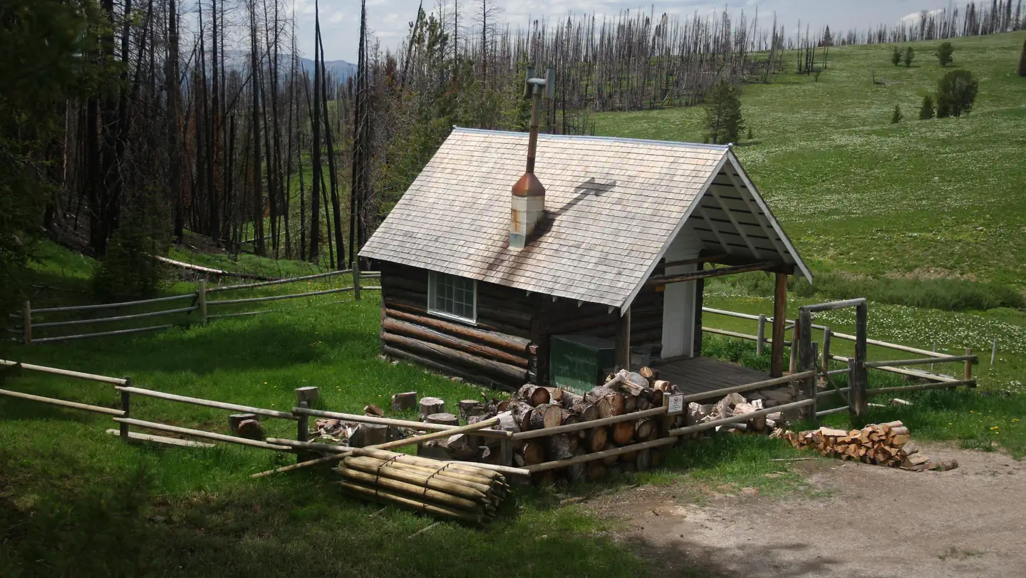
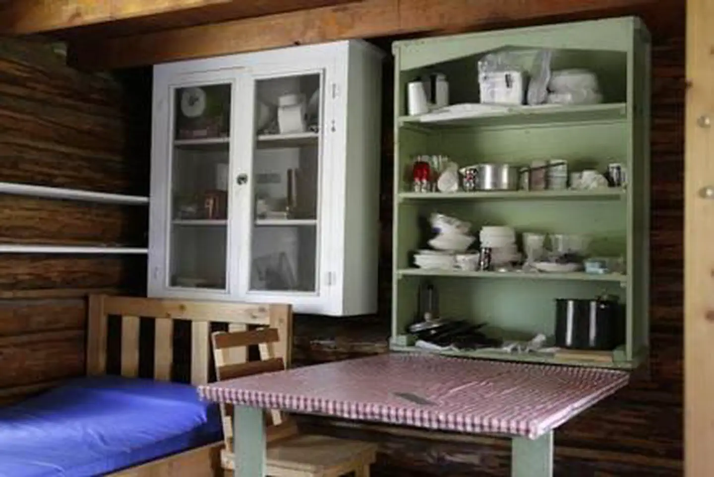
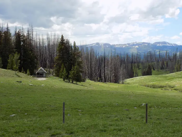
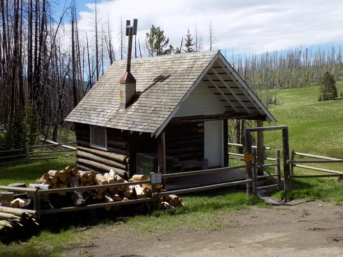
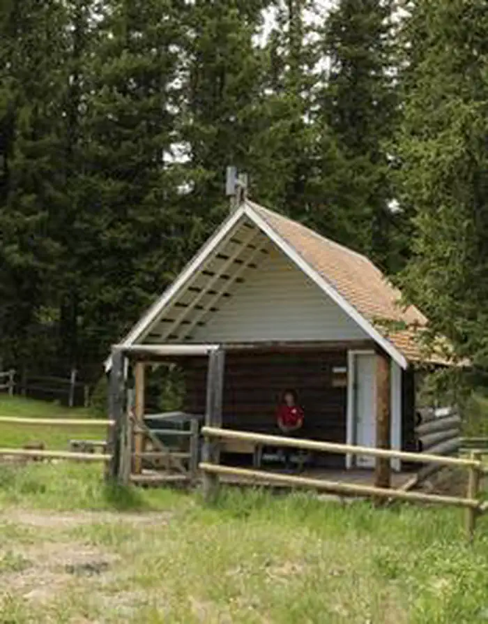
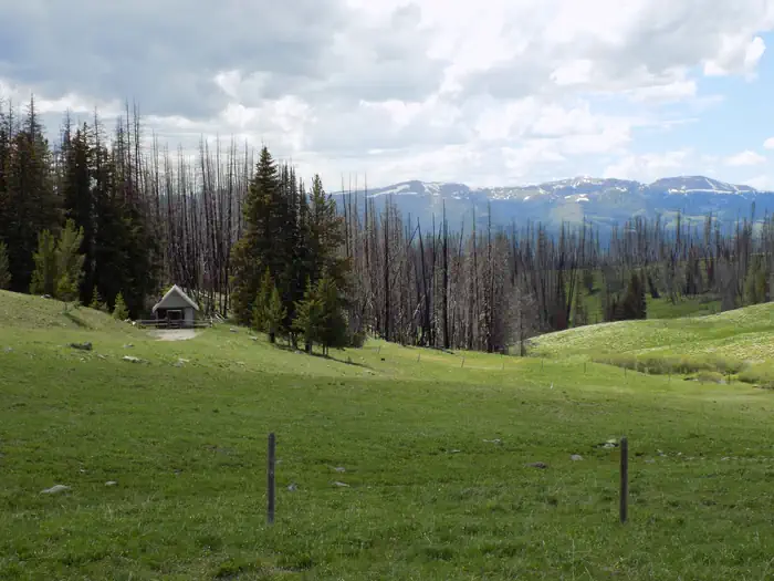
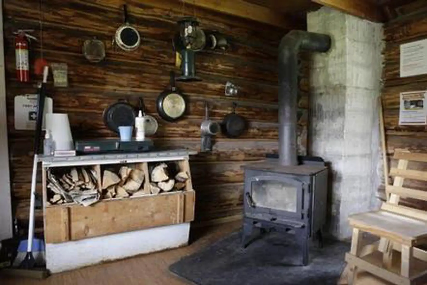
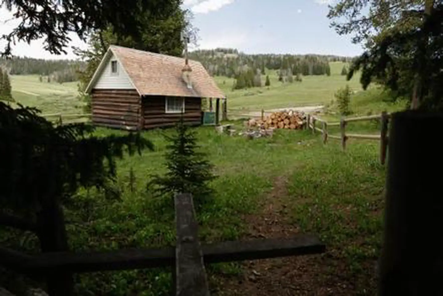
Overview West Fork Cabin is a small, secluded cabin in the mountains of southwestern Montana, located high in the Gravelly Range. The cabin was built in 1928 as an intermediate station for patrolling grazing allotments. The area is home to a variety of wildlife and offers numerous trails for hikers, equestrians and off-road vehicle riders during warmer months and snowmobilers in the winter. The cabin is available from July 1 through March 31. It can typically be accessed by vehicle; however, a portion of the roadway may be muddy or snow-covered, requiring four-wheel drive or chains. Beginning around mid-October, snow may make access very difficult. In winter, over snow vehicles are necessary to reach the cabin, but are only permitted after December 1. Guests are responsible for their own travel arrangements and safety, and must bring several of their own amenities. West Fork Cabin is closed on Wednesdays for administrative purposes, July - November. Recreation The cabin is popular year-long, especially during hunting season. In early summer, the cabin is an excellent base camp for viewing the spectacular wildflower displays in Eureka Basin and along the Gravelly Range Road. Snowmobile use is permitted after December 1st. Visitors are encouraged to practice safe snowmobiling techniques ( learn more about avalanche danger ). Miles of hiking and horseback riding trails, which wind through the mountains and to the 10,542-foot Black Butte, can be accessed near the cabin. Hellroaring trailhead, just a few miles north of the cabin, leads to the extensive network of trails in the backcountry. Off-road vehicles must stay on designated trails at all times in the area. Facilities The primitive, one-room cabin is small and has a set of bunk beds and one twin bed to sleep up to three people. It has a table and chairs, a propane stove and lantern, and a wood stove for heat. Firewood is stacked against the outside fence or within a box on the porch. The cabin is also stocked with basic cookware, dishes, utensils and cleaning equipment. An outhouse with a vault toilet is located about 30 yards south of the cabin at the tree line. It is not visible from the cabin and must be accessed through the gate in the back corner of the fence. Guests may use the large administrative horse pasture, but the take-down fence is usually down and not maintained. Stock is not allowed within the small, rail-fenced area immediately surrounding the cabin. The cabin does not have drinking water or electricity. Fuel is not provided for the stove or lantern, which use the small one gallon diposable bottles. Guests need to bring their own water for drinking, cooking and cleaning. Water taken from the nearby spring box should be filtered or boiled prior to use. Cell phone service may be available a few miles to the north near the Hellroaring trailhead. Items to bring include bedding, pillows, propane fuel canisters, food, flashlights, toilet paper, matches and garbage bags. All garbage and food must be packed out, and guests must clean the cabin and replenish the wood in the woodbox prior to leaving. Natural Features The cabin is located on the southern end of the Gravelly Range at an elevation of 8,460 feet at the headwaters of the West Fork Madison River. Much of the area around the cabin was burned in the Eureka Fire in 2013. Black Butte, the highest peak in the range and an old volcanic cone, is about 10 miles to the north and can be easlly climbed. The area is home to some of the highest-elevation pronghorn antelope, as well as other wildlife, such as elk, moose and bears ( learn about bear safety ). Nearby Attractions Red Rocks National Wildlife Refuge is a short drive south. Historic Virginia City is nearby to the north and Yellowstone National Park is about 60 miles east
From the managing agency.
Is WEST FORK CABIN (S OF ENNIS) free?
No. WEST FORK CABIN (S OF ENNIS) charges a fee.
How do I get to WEST FORK CABIN (S OF ENNIS)?
WEST FORK CABIN (S OF ENNIS) is at 44.8039, -111.8890. We do not hold written directions for this one, so navigate to the coordinates.
Nearby
- BLACK BUTTE CABIN8.5 mi
- Cottonwood Campground12.5 mi
- NOTCH CABIN13.3 mi
- VIGILANTE CABIN15.2 mi
- Wade Lake (MT)15.6 mi
- Elk Lake Dispersed Camping & Picnic Area15.7 mi
- Cliff Point (MT)15.9 mi
- ANTONE CABIN15.9 mi
No other services within 50 mi on the record.
SourceSource data is agency published. Last synced September 19, 2026. Community reports and photos are submitted by travelers and are not verified by the agency.
