
UP UP LOOKOUT
USFS · Campground · Fee
Fast facts
- Cost
- Fee charged
- Managed by
- USFS
- Type
- Campground
- Reservations
- recreation.gov
- Phone
- 406-822-4233
- Nearest dump station
- Cedar Flats Dump Station · 86.1 mi
- Coordinates
- 47.3322, -115.3433
- Last verified
- September 19, 2026

About this place
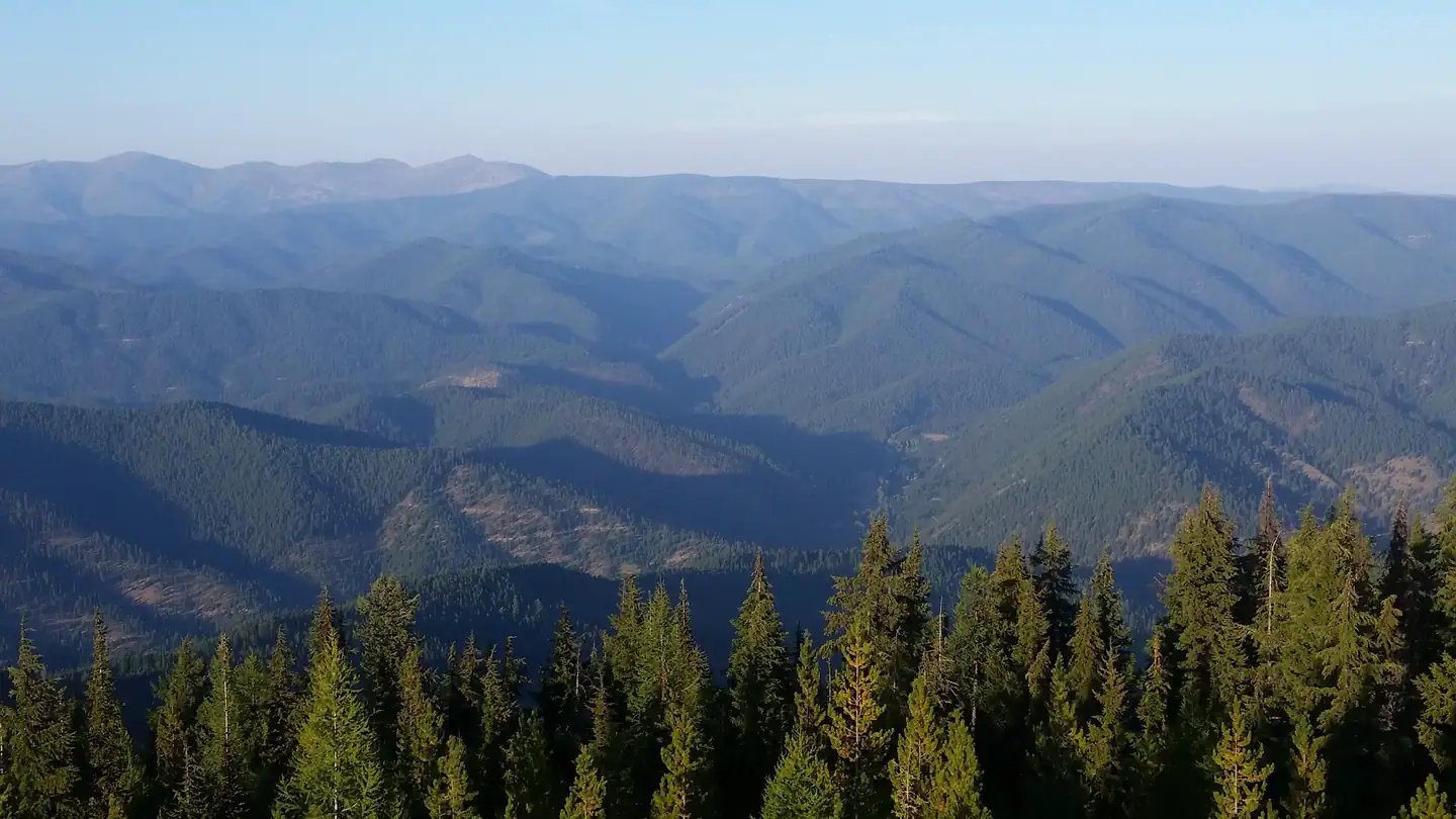
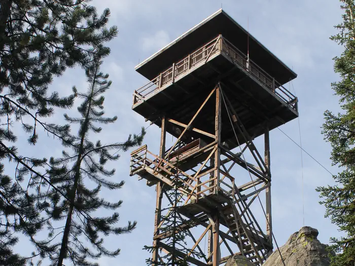
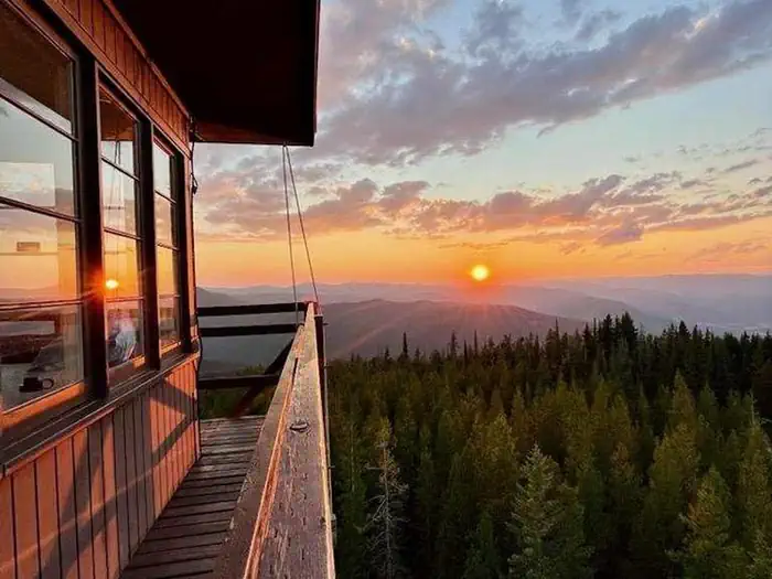
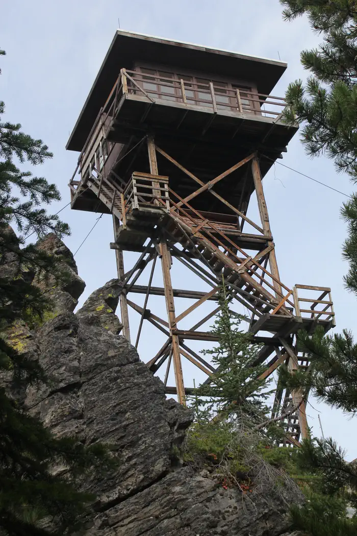
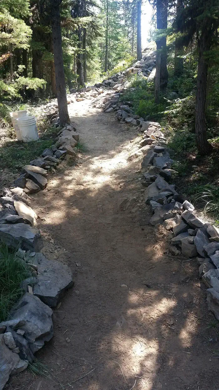
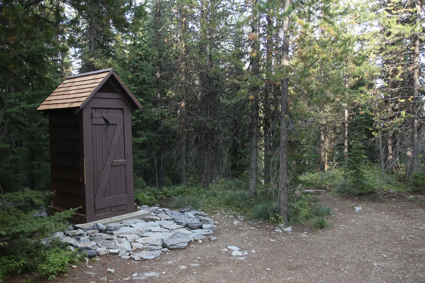
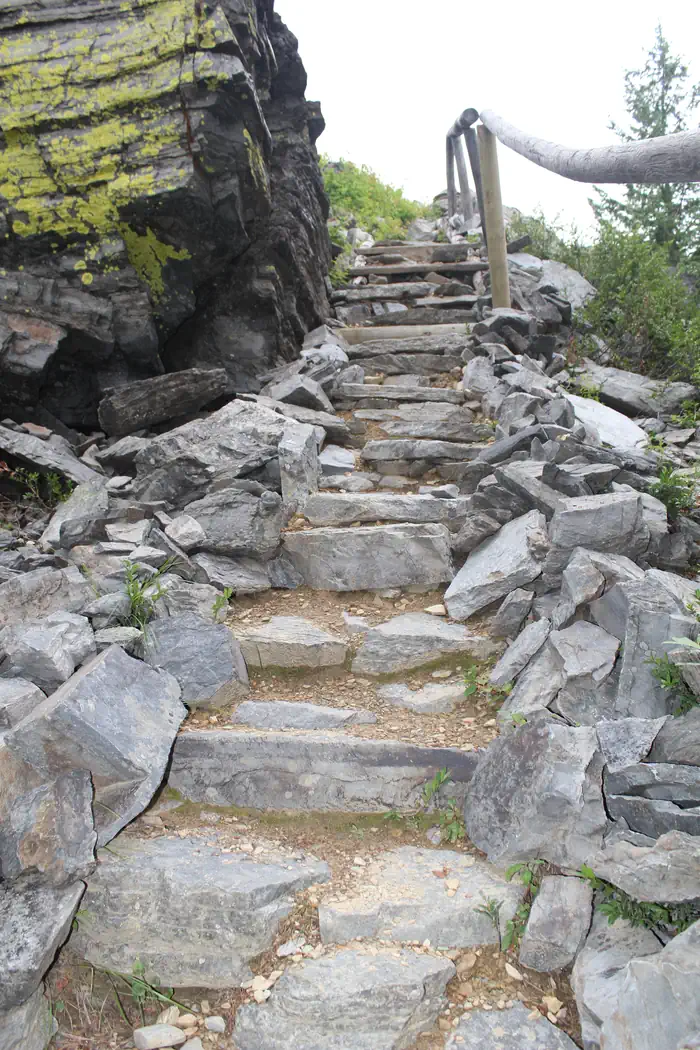
Overview Up Up Lookout is 40 feet tall and perched on a beautiful rock pinnacle in the Bitterroot Mountains of western Montana. It is close to the Idaho border, giving guests a bird's eye view of the entire area. The lookout is a fantastic place by which to view the St. Regis River drainage and the high alpine country. The tower can be accessed by vehicle. Children are discouraged, as the tower has an exterior open stairway. Guests are responsible for their own travel arrangements and safety, and must bring several of their own amenities. Recreation The Up Up Ridge Trail takes visitors into the spectacular Ward and Eagle peaks roadless area, where visitors will find several scenic alpine lakes and various points of exploration. The trail leads to other trails, which take hikers and mountain bikers to the 7,300-foot Eagle Peak, providing ample views of the surrounding area. Big game hunters often camp along the ridge. It is also a great place to see vibrantly colored fall leaves, beautiful waterfalls, wildlife, do some berry picking and even fishing. The area holds many scenic and recreational attractions. The trail leads all the way to the Idaho state line, near Ward Peak. Facilities THE LOOKOUT CAN SLEEP UP TO FOUR PEOPLE AND IS EQUIPPED WITH ONE TWIN BED AND MATTRESS PAD. IT IS RECOMMENED TO BRING ADDITIONAL COTS TO SLEEP ON. It has propane lights and a heater. There are no cooking facilities or refrigeration. A campfire ring with a grill and a picnic table are provided at the base of the tower, along with an outhouse with a pit toilet. Guests will need to bring water for drinking, cooking and cleaning purposes, as well as cooking equipment and fuel. Cots, bedding, towels, soap, cooking and eating utensils, matches, toilet paper and garbage bags are not provided. Guests will need to clean the facility prior to leaving. Natural Features The wooden tower was built in the 1930s and used as a fire lookout for several years. It is situated between the main highway and the Idaho border, at an elevation of 5,900 feet. With the growing use of aircraft for fire detection, fewer lookouts have been staffed in recent years and many are converted to cabin rentals available to the public. The Lolo National Forest is home to many species of wildlife, from mule deer, whitetail deer, elk, bighorn sheep, mountain goats, black bear, mountain lions and moose, to many varieties of smaller animals and birds. Wildlife viewing areas offer guests ample opportunity to view animals in their natural habitat.
From the USFS.Official page
Is UP UP LOOKOUT free?
No. UP UP LOOKOUT charges a fee. It is managed by the USFS. Sites are reservable through recreation.gov.
How do I get to UP UP LOOKOUT?
Up-Up 40 ' Lookout Tower is located 80 miles west of Missoula on I-90 Ward Creek Exit 26. Exit 26 is only accessable from I-90 eastbound. If traveling west bound go to the Drexel exit 25 and return eastbound. Travel on road 889 for 3.2 miles, turn right on road 3816 and travel 14 miles to Up Up Lookout.
What are the rules at UP UP LOOKOUT?
No smoking in tower. No pets inside tower. Discourage bringing children because the tower is 40 feet in height with exterior open stairway.Bear Safety and Food Storage Requirements Information
Nearby
SourceData from the USFS. Last synced September 19, 2026. Community reports and photos are submitted by travelers and are not verified by the agency.
