
TIMBERLANE CAMPGROUND
Campground · Fee not listed
Fast facts
- Cost
- Not listed. Check locally.
- Type
- Campground
- Phone
- 406-293-7773
- Coordinates
- 48.4889, -115.5250
- Last verified
- September 19, 2026
About this place
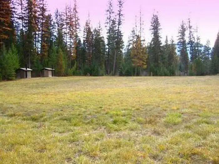
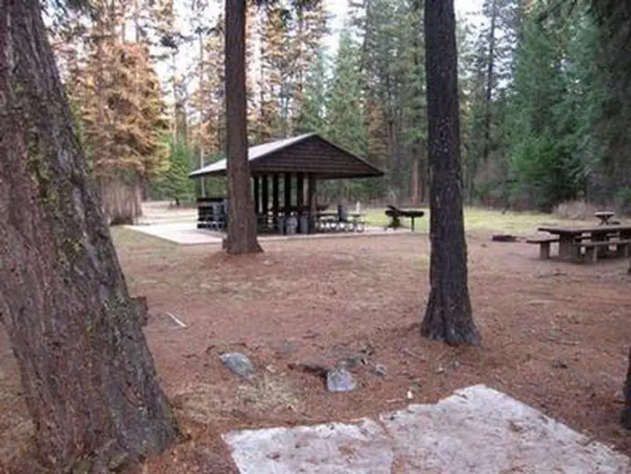
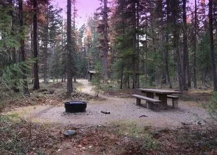
Overview Timberlane Campground group site is located along a forest creek and in an area thick with towering trees. Several hiking trails exist in the area. The group pavilion accommodates up to 100 people and is set up for reunions and receptions. Its a great place to enjoy the Kootenai National Forest. Recreation Horseshoe pits, a volleyball court and a large, grassy play field are available at the campground. Pipe Creek allows visitors to enjoy fishing and swimming in the clear mountain water. The campground and picnic area are surrounded by a 1-mile hiking trail. Visitors also enjoy scenic drives, biking and watching for wildlife along any of the roadways in the area. Pipe Creek Road heads deep into the surrounding forest. Facilities The Timberlane group stie has a 20' x 20' shelter, with picnic tables, a grill, and one 15 amp electric plug in. If you need to power anything in excess of 15 amps, you will need to bring a generator. The site provides vault toilets. Natural Features The Timberlane campground and group site is located along Pipe Creek in the Kootenai National Forest of northwestern Montana. It lies in a mixed conifer forest at an elevation of about 2,600 feet. A variety of wildlife make its home in the area. The area is historically significant, once a former habitat and hunting ground for the Kootenai Tribe. Certain parts of the forest remain sacred to the tribe, including a location on Pipe Creek that contains soft, multicolored stone, which was used to carve bowls for tobacco pipes used in ceremonies. Pipe Creek used to produce stones of several different colors. Nearby Attractions Timberlane Campground is near the David Thompson Historic Route, the 67-mile Lake Koocanusa Scenic Byway and the Scenic Tour of the Kootenai River bike route. The town of Libby is nearby, making the campground a perfect location for overnight stays during the wildly popular Logger Days, various car club events and Nordicfest.
From the managing agency.
Is TIMBERLANE CAMPGROUND free?
We do not have a fee on record for TIMBERLANE CAMPGROUND. Confirm the cost locally before you go.
How do I get to TIMBERLANE CAMPGROUND?
TIMBERLANE CAMPGROUND is at 48.4889, -115.5250. We do not hold written directions for this one, so navigate to the coordinates.
Nearby
- Timberlane0.1 mi
- Jackson Creek9.8 mi
- Loon Lake Campground10.0 mi
- BIG CREEK BALDY. LOOKOUT RENTAL10.1 mi
- McGillivray Campground (MT)10.3 mi
- Rocky Gorge Campground14.9 mi
- Kilbrennan Lake Campground18.2 mi
- YAAK MTN. LOOKOUT RENTAL18.8 mi
No other services within 50 mi on the record.
SourceSource data is agency published. Last synced September 19, 2026. Community reports and photos are submitted by travelers and are not verified by the agency.
