
STODDARD CREEK CAMPGROUND
USFS · Campground · Fee
Fast facts
- Cost
- Fee charged
- Managed by
- USFS
- Type
- Campground
- Hours
- Open 8:00 a.m. to 10:00 p.m.
- Reservations
- recreation.gov
- Phone
- 208-270-0094
- Coordinates
- 44.4175, -112.2167
- Last verified
- September 19, 2026


About this place
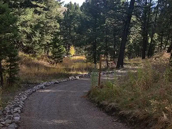
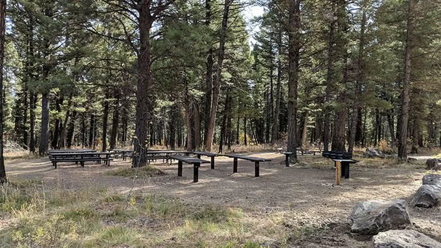
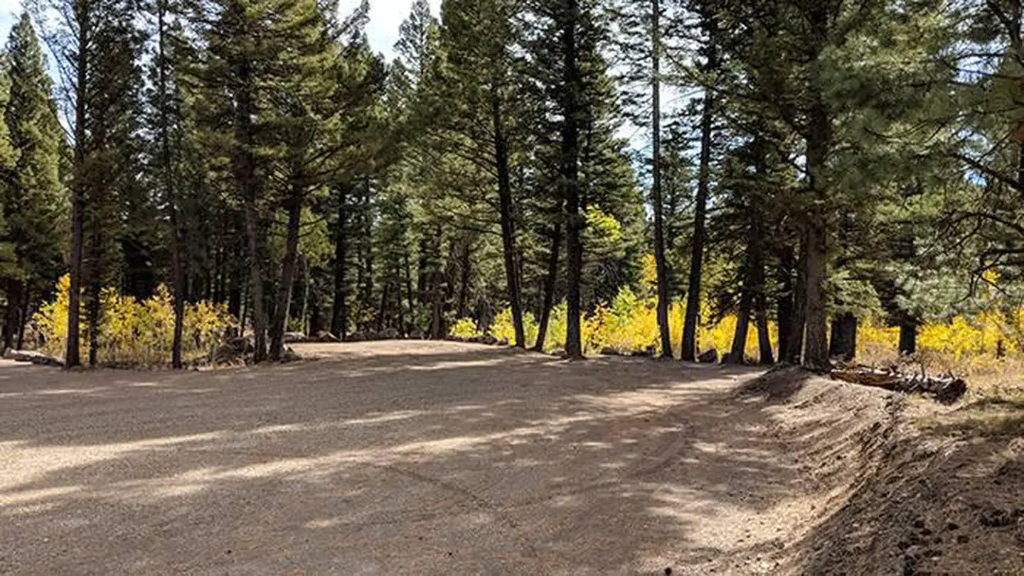
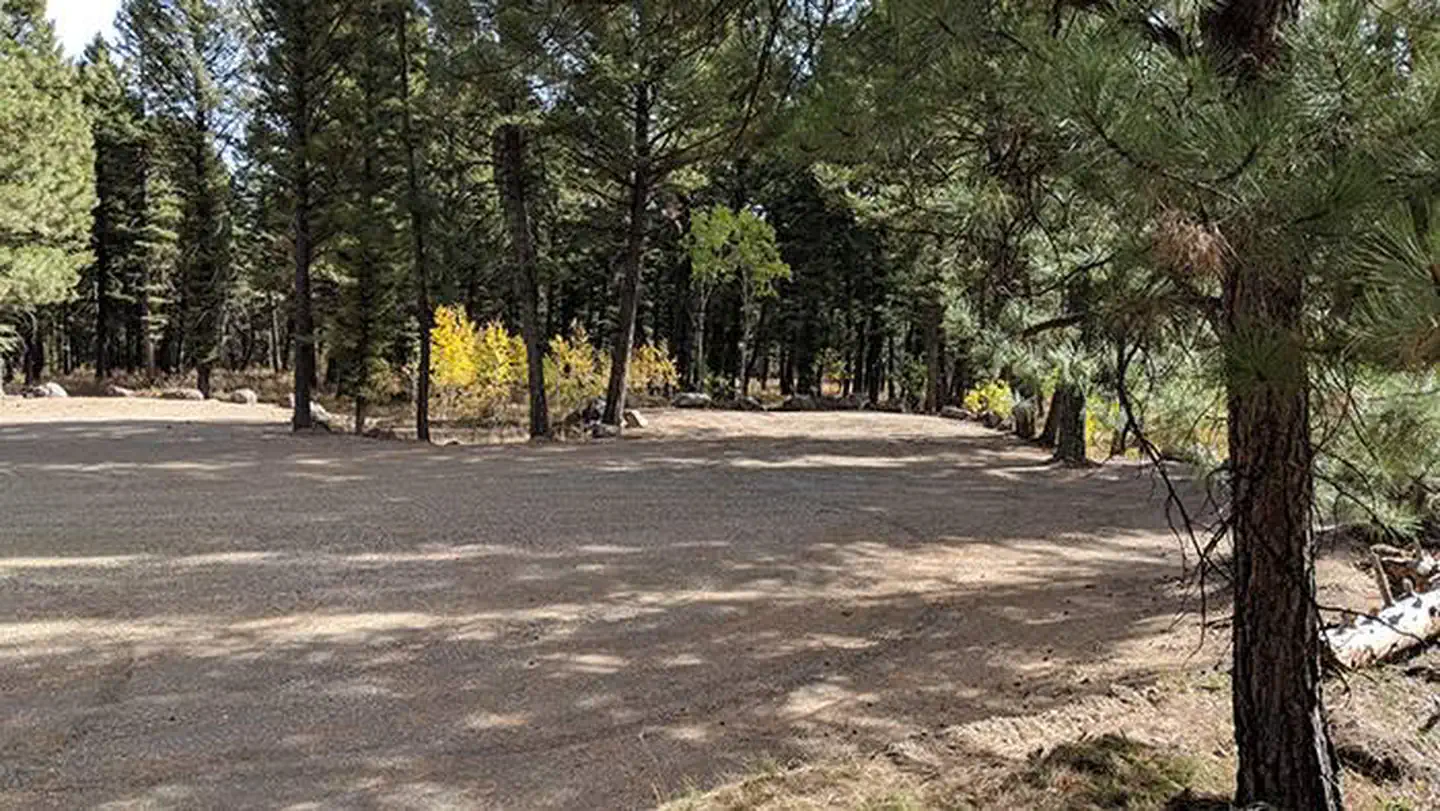
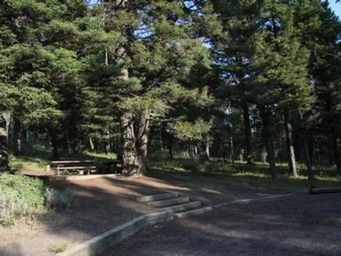
Overview Stoddard Creek Campground is located just 1 mile off I-15 and 17 miles north of the town of Dubois, Idaho. Visitors come to the area to enjoy the abundance of trails, wildlife viewing opportunities and scenic beauty. Recreation Fishing, hiking, mountain biking, motorcycling and ATV riding are popular activities in the area. The Continental Divide National Scenic Trail can be accessed 8 miles away, where it crosses I-15. Facilities The campground contains one accessible group site that can accommodate up to 50 people. Picnic tables and campfire circles are provided, as are vault toilets, drinking water and trash collection. A campground host is on-site. PLEASE NOTE: The Group Site (currently designated 008) will be relocated to the NEW group area beginning the 2019 season. ALL reservations made for the OLD group site (008) will be transferred to the NEW group area. Natural Features The campground is situated in a Douglas fir and aspen forest. Stoddard Creek runs just below the site. The campground is approximately 11 miles south of the Idaho-Montana border via Monida Pass on the Continental Divide. Nearby Attractions Phone, gas and groceries are 5 miles away in Spencer, Idaho or 17 miles away in Dubois.
From the USFS.Official page
Is STODDARD CREEK CAMPGROUND free?
No. STODDARD CREEK CAMPGROUND charges a fee. It is managed by the USFS. Sites are reservable through recreation.gov.
How do I get to STODDARD CREEK CAMPGROUND?
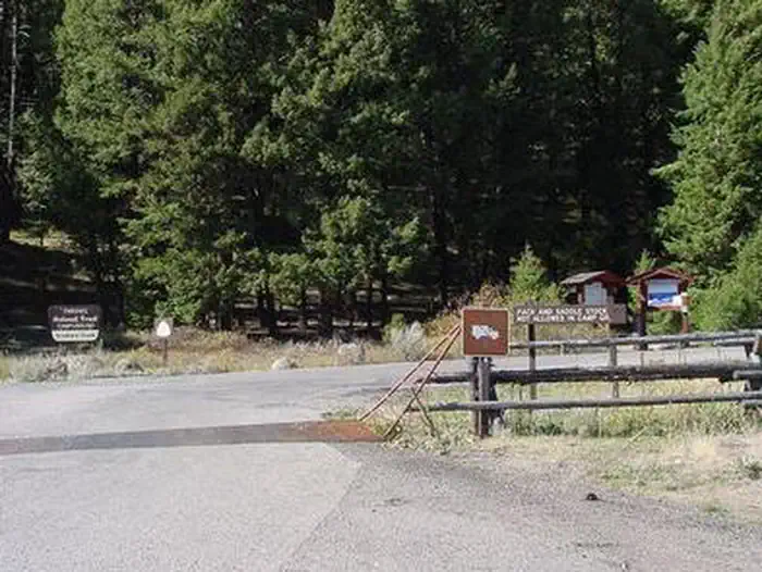
From Dubois, Idaho, travel north on Interstate 15 to the Stoddard Creek Exit (Exit 184). Go west on Stoddard Creek Road (FR 002) approximately 1 mile to the Stoddard Creek Camp Ground Road (FR 003), turn left and proceed into the campground.
Nearby
- Patelzik Dispersed Campground4.9 mi
- AL TAYLOR CABIN10.0 mi
- Steel Creek Campground10.2 mi
- STEEL CREEK GROUP CAMPGROUND10.2 mi
- Price Creek Campground (mt)15.4 mi
- Medicine Lodge Creek Dispersed Camping Area16.3 mi
- East Creek Campground23.9 mi
- ANTONE CABIN25.1 mi
No other services within 50 mi on the record.
SourceData from the USFS. Last synced September 19, 2026. Community reports and photos are submitted by travelers and are not verified by the agency.
