
SNOWBANK CAMPGROUND
Campground · Fee
Fast facts
- Cost
- Fee charged
- Type
- Campground
- Phone
- 406-646-1012
- Coordinates
- 45.1718, -110.3228
- Last verified
- September 19, 2026
About this place
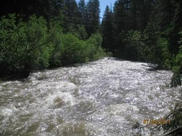
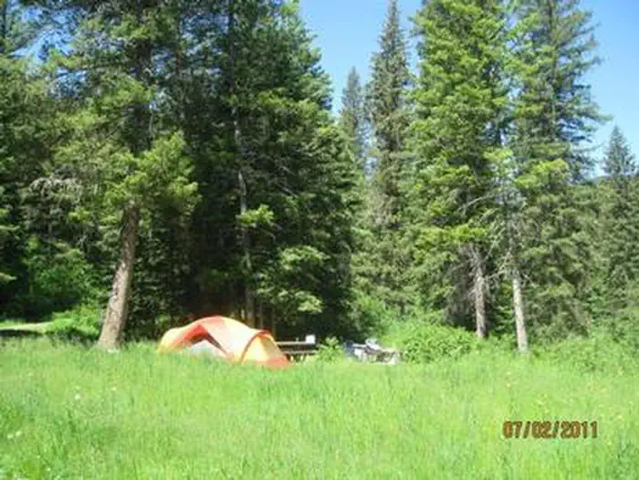
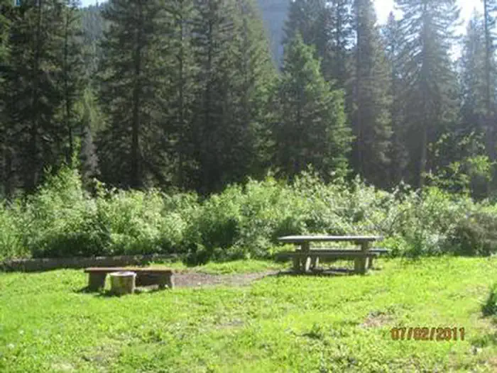
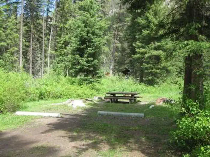
Overview Snowbank Campground will be open for the 2025 camping season! The bridge has been repaired! Snowbank Campground is located on the banks of Mill Creek, approximately 29 miles south of Livingston, in southwestern Montana. Visitors enjoy the area for its scenic natural beauty, and fishing and trail opportunities. This campground is not recommended for RV's over 30' in length . Recreation Mill Creek offers anglers the opportunity to fish for whitefish, rainbow, brown and cutthroat trout. A number of hiking trailheads near the campground offer wilderness access, climbing into the Absaroka Range. The 6.3-mile Wicked Ridge Trail begins just outside the campground entrance. Off-road vehicle and bike trails also crisscross the area around Snowbank. Facilities The campground offers one GROUP CAMPING AREA (SITE 12) that can accommodate up to 25 people . Single-family sites are also available. Picnic tables and campfire rings are provided, as are vault toilets, drinking water and trash collection. Firewood is available for $10.00 per bundle. Natural Features The campground is situated along Mill Creek near the western edge of the Absaroka-Beartooth Wilderness, where a scenic forest of mature spruce and fir trees covers the area. Thimbleberry and raspberry bushes dot the forest floor. Contact Info For facility specific information, please call (661) 702-1420.
From the managing agency.
Is SNOWBANK CAMPGROUND free?
No. SNOWBANK CAMPGROUND charges a fee.
How do I get to SNOWBANK CAMPGROUND?
SNOWBANK CAMPGROUND is at 45.1718, -110.3228. We do not hold written directions for this one, so navigate to the coordinates.
Nearby
- PINE CREEK CAMPGROUND8.5 mi
- Hick's Park Campground9.6 mi
- FOURMILE CABIN12.6 mi
- Snowbank Campground13.4 mi
- MILL CREEK CABIN13.6 mi
- Bear Creek Campground - MT14.2 mi
- Bear Creek Campground14.2 mi
- Timber Camp Campground14.8 mi
No other services within 50 mi on the record.
SourceSource data is agency published. Last synced September 19, 2026. Community reports and photos are submitted by travelers and are not verified by the agency.
