
Sloway Campground (MT)
Campground · Fee
Fast facts
- Cost
- Fee charged
- Type
- Campground
- Phone
- 406-822-4233
- Nearest dump station
- Cedar Flats Dump Station · 82.5 mi
- Coordinates
- 47.2338, -115.0261
- Last verified
- September 19, 2026
About this place
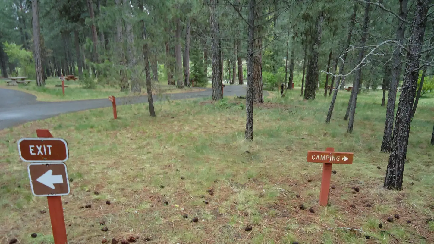
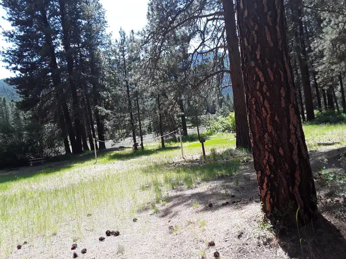
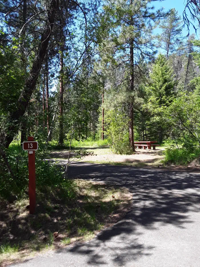
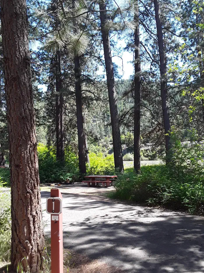
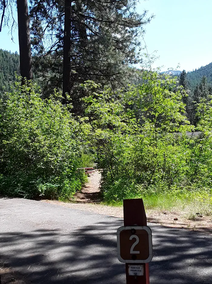
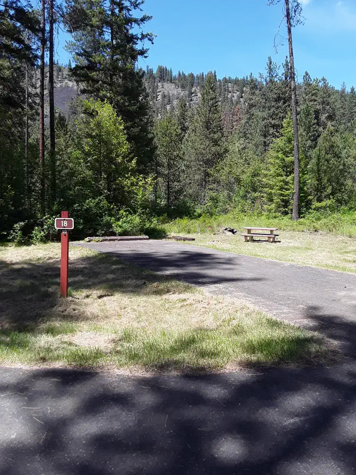
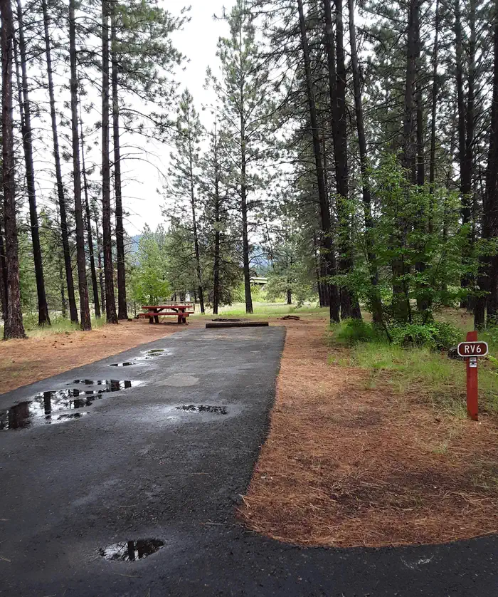
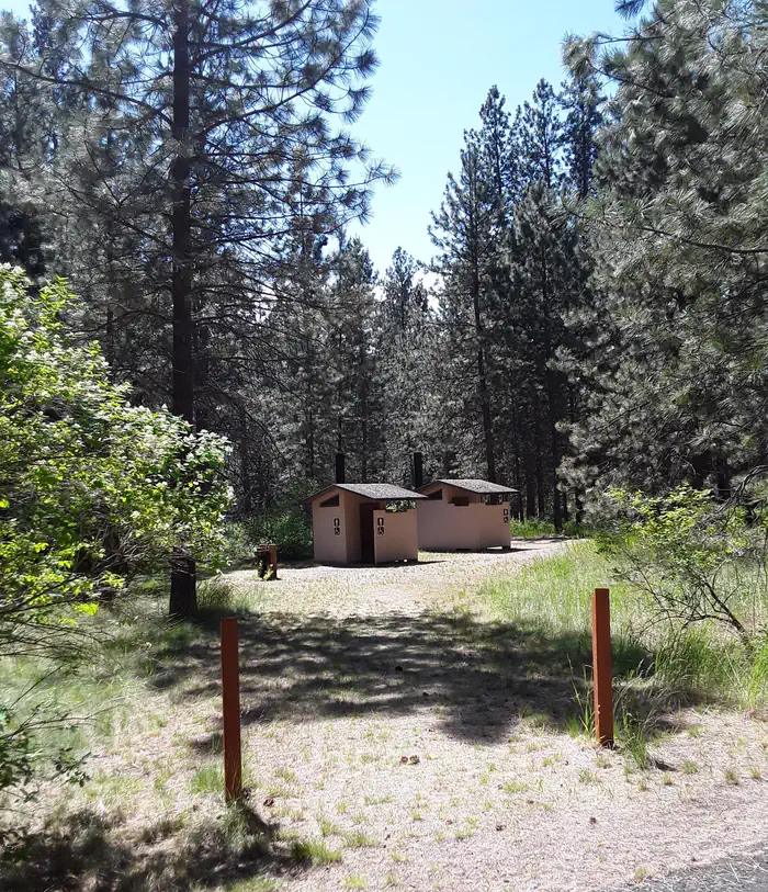
Overview Sloway Campground is located off of Interstate 90, just 60 minutes west of Missoula, Montana and 15 minutes west of Superior, Montana. The paved campground has 27 sites total. There is water, vault toilets, trash services, picnic tables, fire rings, volleyball net, horseshoe pits, and Camp Hosts. The campground sits on the Clark Fork River in the shade of pines trees and has a primitive boat launch and an equestrian site. Be aware the campground receives a lot of noise from Interstate 90 and passing trains. Recreation The campground is in close proximity to launch sites along the Clark Fork River, including the Alberton Gorge. The campground can accommodate small to medium groups recreating on the river or in the National Forest. The Sloway Campground is one of three full-service campgrounds located along Interstate 90 between Idaho and Missoula, Montana. Facilities Sloway Campground is paved and has vault toilets, potable water, a Camp Host, and trash services. Each site has a parking space, picnic table, and fire ring. There are 27 sites in total with 12 pull-through sites for vehicles longer than 35 feet. Sites 1 - 10 and 21 - 25 are reservable. Sites 11- 20 and 26 & 27 are first-come, first-serve. Natural Features The campground resides in the valley bottom surrounded by pine trees and the Clark Fork River to the south. The campground is flat and easily accessible from Interstate 90. Nearby Attractions Missoula is 60 miles to the east. Superior is 8 miles to the east. St. Regis is 7 miles to the west. Route of the Hiawatha Trail is 43 miles to the west. Lookout Ski Area / Idaho is 48 miles to the west. Alberton Gorge is 21 miles to the east.
From the managing agency.
Is Sloway Campground (MT) free?
No. Sloway Campground (MT) charges a fee.
How do I get to Sloway Campground (MT)?
Sloway Campground (MT) is at 47.2338, -115.0261. We do not hold written directions for this one, so navigate to the coordinates.
Nearby
SourceSource data is agency published. Last synced September 19, 2026. Community reports and photos are submitted by travelers and are not verified by the agency.
