
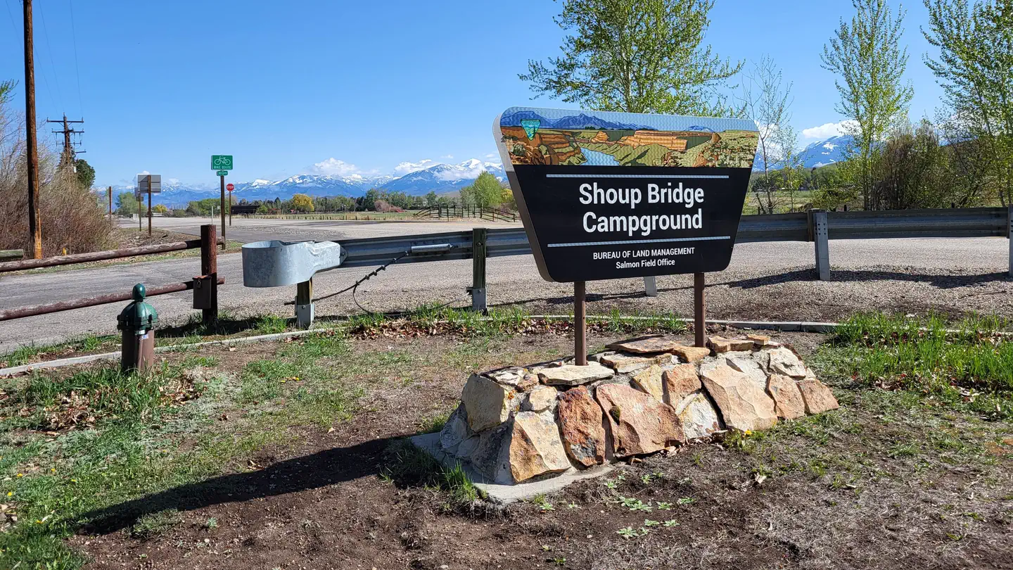
Shoup Bridge Campground
BLM · Campground · Fee
Fast facts
- Cost
- Fee charged
- Managed by
- BLM
- Type
- Campground
- Nearest dump station
- Newland Ranch Dump Station · 22.4 mi
- Coordinates
- 45.0980, -113.8933
- Last verified
- September 19, 2026
About this place
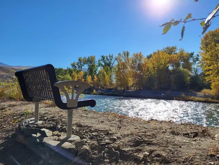
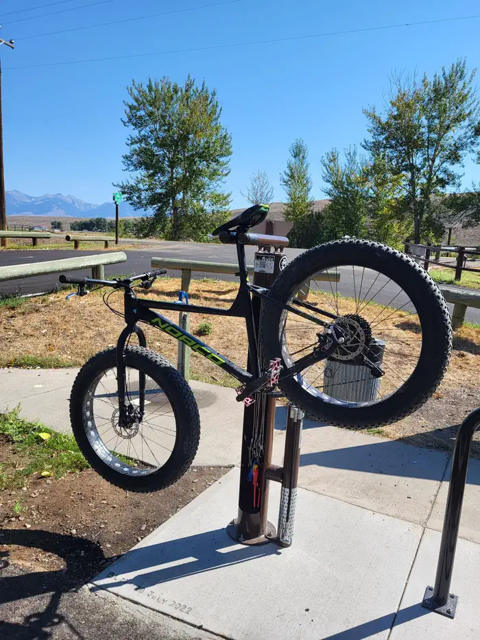
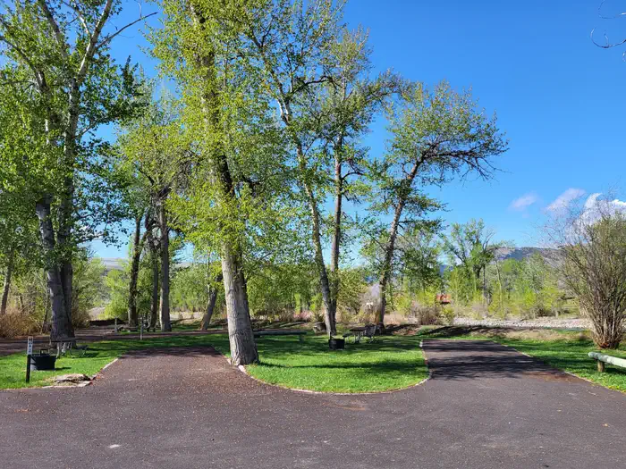
Overview Shoup Bridge Campground is an easily accessible, paved RV-friendly campground that offers numerous riverfront sites. The mature cottonwood trees provide all sites ample shade for those hot summer days and the sound of the Salmon River running by will entice you to stay longer than you planned. The site is named after George Shoup, the first Governor of Idaho, who later became a U.S. Senator. The campground’s boat ramp is a popular launch site for rafters and anglers. Recreation Shoup Bridge Campground offers many recreation opportunities including river access for rating, fishing, tubing, and swimming. The campground sits at the end of a 5-mile paved non-motorized path that leads into the town of Salmon. The surrounding area offers a multitude of recreation opportunities including motorized and non-motorized trails, hunting, fishing, and wildlife viewing. Facilities Shoup Bridge Campground offers 8 campsites for both RV and tent camping. Potable water, vault toilets, picnic tables, fire rings, and ample shade are available at all sites. Campground offers scenic riverfront benches and a bicycle repair station. Campground host onsite from Memorial Day through Labor Day. Natural Features The Salmon River runs adjacent to the campground and the mature cottonwood trees provide plenty of shade and wildlife habitat. Contact Info This location is unstaffed. To speak with our main office for general information, please call: (208) 756-5400. Nearby Attractions Highway 93 Pathway Williams Lake Campground Salmon River Charges & Cancellations No changes/cancellations/refunds are allowed as all fees are paid either on-site or through the Recreation.gov Scan & Pay App.
From the BLM.
Is Shoup Bridge Campground free?
No. Shoup Bridge Campground charges a fee. It is managed by the BLM.
How do I get to Shoup Bridge Campground?
Shoup Bridge Campground is at 45.0980, -113.8933. We do not hold written directions for this one, so navigate to the coordinates.
Nearby
SourceData from the BLM. Last synced September 19, 2026. Community reports and photos are submitted by travelers and are not verified by the agency.
