
MCGREGOR LAKE CAMPGROUND
Campground · Fee not listed
Fast facts
- Cost
- Not listed. Check locally.
- Type
- Campground
- Phone
- 406-293-7773
- Coordinates
- 48.0319, -114.9022
- Last verified
- September 19, 2026
About this place
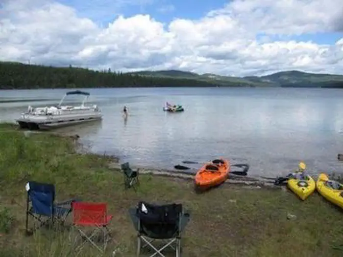
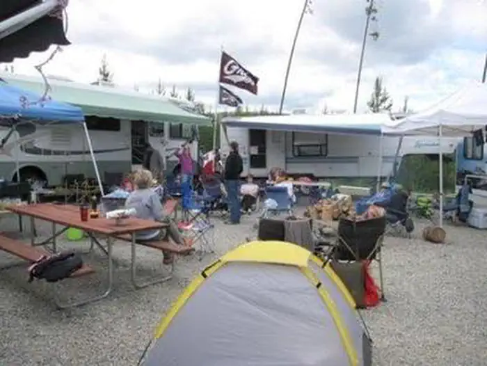
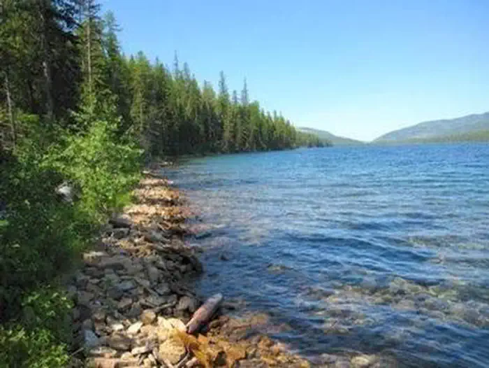
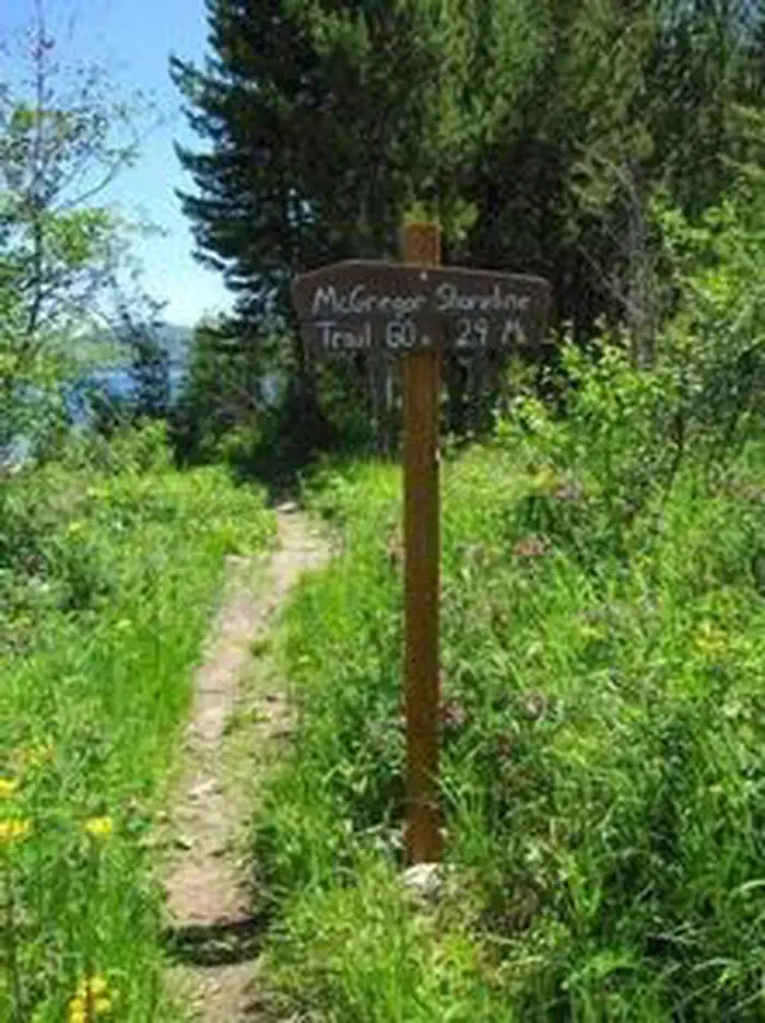
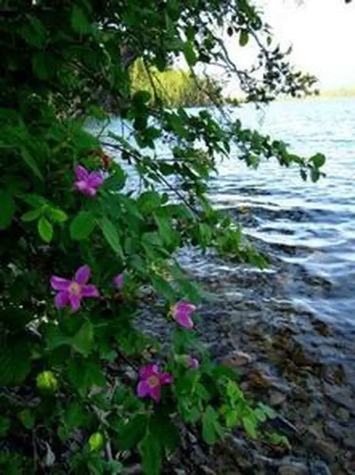
Overview McGregor Lake Campground is located approximately 53 miles southeast of Libby, Montana, on Highway 2 at the west end of McGregor Lake in the Kootenai National Forest. This area is about halfway between Libby and Kalispell in the heart of the Thompson Chain of Lakes, a premier fishing and hunting area. Recreation McGregor Lake is host to a prime mackinaw trout population and offers excellent opportunities for a trophy-size catch. There is a boat ramp on-site for access to the lake. Swimming and water skiing are also popular activities. Hikers can walk the 2.9-mile McGregor Lake Shoreline Trail. Facilities The campground has 27 sites, including one host site, all with tables and fire rings. Most sites offer an average length of 32 feet. Vault toilets, garbage service and drinking water are available during the peak season. The campground campsites are not currently on the reservation system. The reservable group site is available for large groups, this site is a 120' x 140' gravel parking area. Tables and fire ring are located within the site. Reservations can be made at Recreation.gov Day use picnic sites with tables and fire rings are located near the beach. Natural Features At an elevation of 3,900 feet, the campground is nestled among young pines at the west end of McGregor Lake in the Fisher River Area. The lake spans 1,240 acres, making it the largest lake in the Kootenai National Forest. The Fisher River Area is the watershed formed by the four forks (West, East, Silver Butte, Pleasant Valley) of the Fisher River and Wolf Creek. Within it is the Thompson Chain of Lakes, which consists of more than 20 lakes.
From the managing agency.
Is MCGREGOR LAKE CAMPGROUND free?
We do not have a fee on record for MCGREGOR LAKE CAMPGROUND. Confirm the cost locally before you go.
How do I get to MCGREGOR LAKE CAMPGROUND?
MCGREGOR LAKE CAMPGROUND is at 48.0319, -114.9022. We do not hold written directions for this one, so navigate to the coordinates.
Nearby
- Mc Gregor Lake0.2 mi
- Meadow Peak Lookout (MT)5.2 mi
- BEND GUARD STATION11.0 mi
- Ashley Lake North Campground17.8 mi
- Pleasant Valley Campground18.0 mi
- Fishtrap Lake Campground18.3 mi
- West Fork Fishtrap Creek Campground18.8 mi
- Sylvan Lake Campground19.2 mi
No other services within 50 mi on the record.
SourceSource data is agency published. Last synced September 19, 2026. Community reports and photos are submitted by travelers and are not verified by the agency.
