
MCCART LOOKOUT
USFS · Campground · Fee
Fast facts
- Cost
- Fee charged
- Managed by
- USFS
- Type
- Campground
- Hours
- Check in is at 2:00 p.m. and check out is at 12:00 p.m.
- Reservations
- recreation.gov
- Phone
- 406-821-3913
- Nearest dump station
- Newland Ranch Dump Station · 35.7 mi
- Coordinates
- 45.8847, -113.7175
- Last verified
- September 19, 2026
About this place
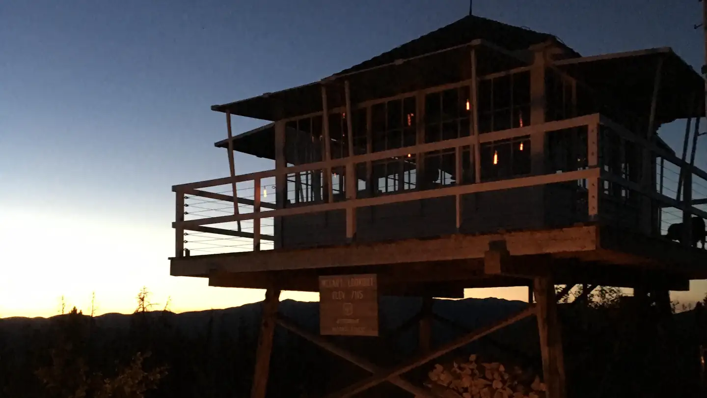
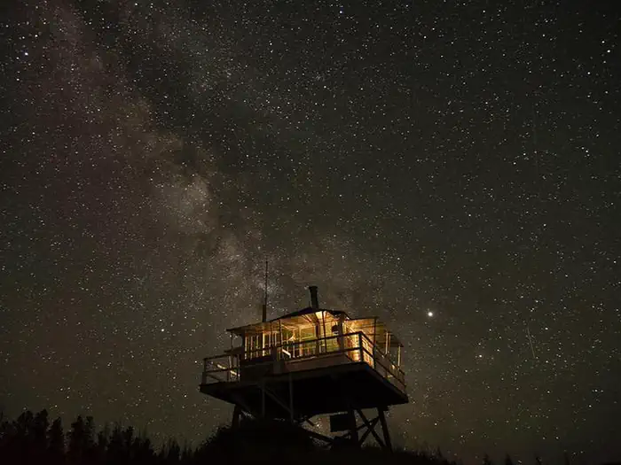
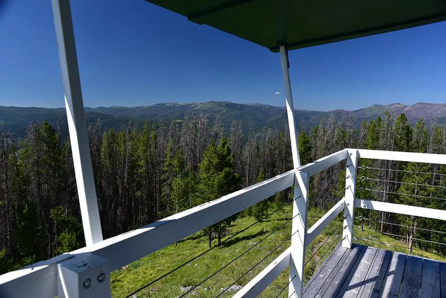
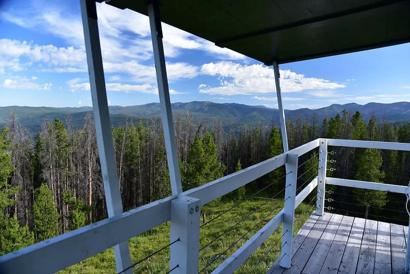
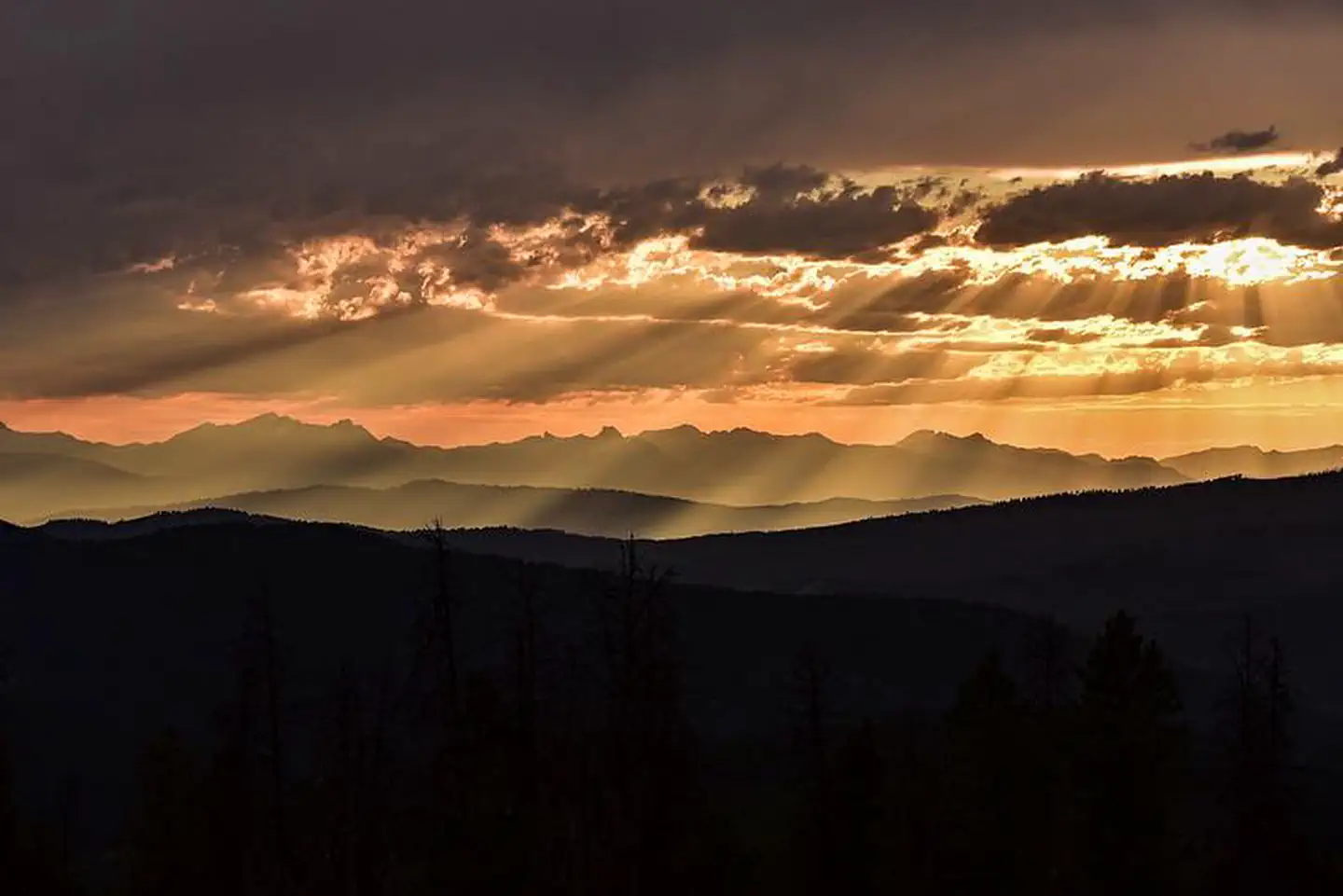
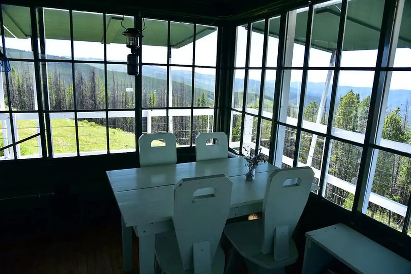
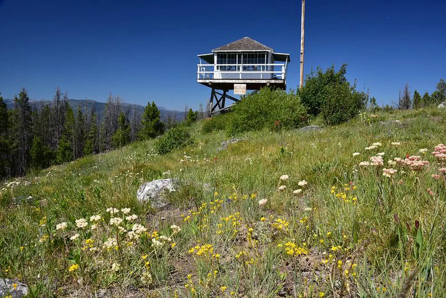
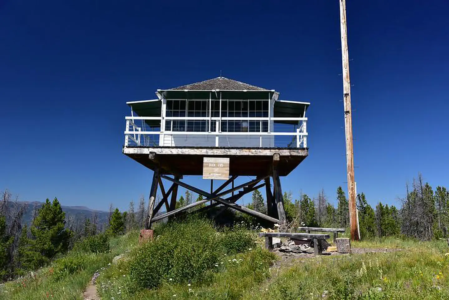
Overview McCart Lookout is a historic tower located on McCart Peak, east of Sula. It has been restored to reflect a lookout of the 1940s, including the stove, furniture, dishes and other small touches. It offers a unique chance for visitors to camp on a mountain peak, on the border of the Anaconda-Pintler Wilderness, in a rustic, old-time setting. The tower provides spectacular views of the surrounding western Montana wilderness. Recreation The trail to reach the tower continues south and joins the Continental Divide National Scenic Trail, which extends 3,100 miles across the United States, from the borders of Mexico to Canada. While it might take about six months to complete, a variety of day hikes and points of exploration are available within the area of the lookout tower. Trails can be enjoyed on foot or on horseback. Backpackers also enjoy the terrain. Aside from hiking and horseback riding, the area is replete with wildlife and offers scenic views. A lookout journal is kept inside, providing instructions of what to do in case of emergency or a storm. Danger from lightning is largely abated due to a lightning rod implanted at the structure. Facilities McCart Lookout is a historic "L4" lookout located on Mccart Peak east of the Bitterroot Valley. The lookout is a one room cabin with a bed platform suitable for two people. Bedding is not provided. The lookout can accommodate up to four. Others are welcome to tent camp in the area. The lookout measures 14ft.X14ft. with a 30 inch catwalk around the outside. There is a wood stove for heat. You may have to saw your own wood from dead and down material found nearby. A bow saw and ax are provided. A two burner propane camp stove and lanterns are provided. Propane is not provided, you will need to bring your own propane canisters . Utensils for cooking and eating are provided. There is no water available near the lookout so please bring your own water . An outdoor toilet serves the lookout. You will need to provide your own toilet paper . The lookout is built on a 10 foot tall tower, with narrow steps and catwalk. This may pose a hazard for children and pets. Guests are responsible for their own safety. Remember, guests will need to bring their own water for drinking, cooking and cleaning purposes, as well as propane fuel canisters for cooking and lighting. Guests are also responsible for their own bedding, towels, soap, toilet paper and garbage bags . The facility does not provide trash receptacles; all garbage must be carried out, and the tower must be cleaned by guests prior to leaving. Do not leave anything you bring, even if you think it will benefit other renters The tower is accessed by a moderate, 1.5-mile hike from the parking area. Snowmobiles and other off-road vehicles are not allowed on the trail, however, horses and other livestock are welcome. Guests are responsible for their own travel arrangements and safety, and must bring several of their own amenities. Natural Features The tower is situated east of the Bitterroot Valley, at an elevation of 7,115 feet. It was named for William McCart, who settled the area but failed to complete his homestead entry to patent. It is poised on the edge of the Anaconda-Pintler Wilderness and offers beautiful views of the Pintler Mountains to the east and the Bitterroot Mountains to the west. The Bitterroot forest is home to many species of wildlife, from mule deer, whitetail deer, elk, bighorn sheep, mountain goats, black bear, mountain lions, and moose, to many varieties of smaller animals and birds. Nearby Attractions A variety of natural hot springs exist in the area, including the the Lost Trail Hot Springs, which is located about 13 miles northwest of the tower. It provides swimming and additional amenities, including a general store and lodging.
From the USFS.Official page
Is MCCART LOOKOUT free?
No. MCCART LOOKOUT charges a fee. It is managed by the USFS. Sites are reservable through recreation.gov.
How do I get to MCCART LOOKOUT?
From Sula, MT head northwest 0.2 miles on Highway 93. Turn northeast (right) onto East Fork Rd. (county road #472). Go approximately 15 miles and turn south (right) onto Forest Service Road #435 (Johnson Peak Trail). Travel 5.5 miles to the trailhead. Hike 1.5 miles to the lookout.
What are the rules at MCCART LOOKOUT?
Limit of 4 people. Snowmobiles, ATVs and mountain bikes are not permitted on the Johnson Peak Trail # 435.
Nearby
SourceData from the USFS. Last synced September 19, 2026. Community reports and photos are submitted by travelers and are not verified by the agency.
