
MAY CREEK CABIN
Campground · Fee
Fast facts
- Cost
- Fee charged
- Type
- Campground
- Phone
- 406-689-3243
- Nearest dump station
- Newland Ranch Dump Station · 18.4 mi
- Coordinates
- 45.6421, -113.8225
- Last verified
- September 19, 2026
About this place
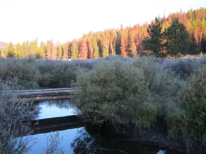
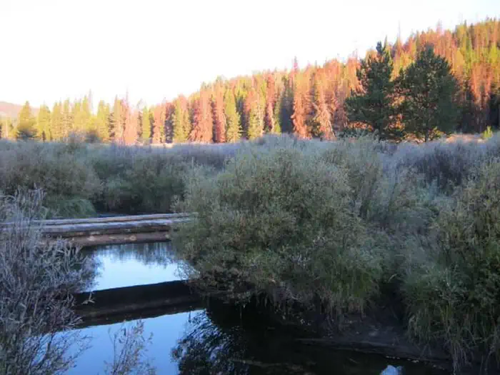
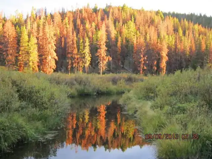
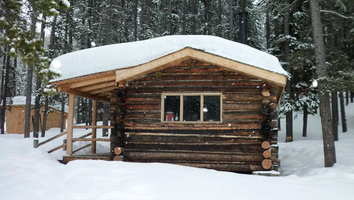
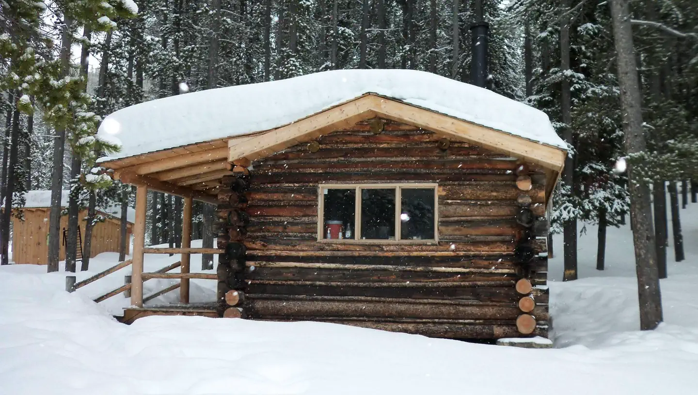
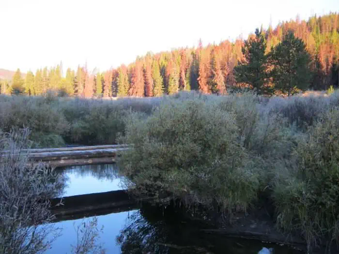
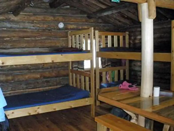
Overview May Creek Cabin is located on the Lewis and Clark National Historic Trail in western Montana. It was built by miners in the early 1900s and used by them for about 30 years. Hunters occupied it for about 30 years after that. The cabin went unused for nearly 30 years and was restored for public use in 1993. In 2011, more work was completed to enhance the quality and safety of the structure. Summer and fall months give visitors plenty of daylight and moderate temperatures to explore the surrounding meadows, peaks and valleys, as well as fish in plentiful mountain streams. The cabin can be accessed by driving to May Creek Campground and then hiking or skiing just over two miles, depending on conditions. Guests are responsible for their own travel arrangements and safety, and must bring several of their own amenities. Recreation Early explorers crossed through the area, leaving a variety of trails for hiking, mountain biking or horseback riding, including the Nez Perce Trail, the Lewis and Clark National Historic Trail and the Continental Divide National Historic Trail. Historic sites are located along all routes. A GPS unit, compass and area maps are helpful in reaching the cabin and exploring the area. The surrounding hills and valleys are popular for hiking and backpacking in the summer and fall, and for cross-country skiing and snowshoeing, although extreme caution is urged to avoid avalanche danger. Fishing and wading are available in the adjacent May Creek. Anglers might catch brook or rainbow trout, which are plentiful in the alpine waters. Facilities The wood-frame, one-room cabin is equipped with bunk beds and foam mattresses that sleep up to four people, a wood-burning stove for heat and a propane stove for cooking. The flat-topped wood stove can also be used for cooking. A table with benches, cooking and eating utensils, axe, shovel, bucket, cleaning gear and firewood (during the winter months) are also provided. A wood stove is available for heat, and firewood and an axe are provided from September 16-June 15. You will need to provide your own firewood from June 16-September 15. An outhouse with a vault toilet is near the cabin. A propane lantern should also be available, but fuel is not supplied. The cabin has no electricity or running water. It is recommended that guests bring their own water supply for drinking, cooking and washing. Water is also available from a nearby creek, but it must be treated or boiled prior to use. Guests should bring their own bedding, food, toilet paper, towels, flashlights, garbage bags and 16-ounce propane canisters for the stove and lantern. All garbage and food must be packed out and guests should clean the cabin prior to leaving. Natural Features The rustic cabin is situated at the base of the Anaconda Mountain Range in the Beaverhead-Deerlodge National Forest of southwestern Montana. It is nestled in evergreen forest near the banks of May Creek at an elevation of about 6,600 feet. The Anacondas are home to abundant wildlife, including mountain lions, elk, deer, moose and bears ( learn more about bear safety ). This area is a major spot for elk calving. Nearby Attractions The Big Hole National Battlefield is located about nine miles east of the cabin. It is the site of the Nez Perce War of 1877, a battle between the Native American tribe, the United States Army and civilian volunteers.
From the managing agency.
Is MAY CREEK CABIN free?
No. MAY CREEK CABIN charges a fee.
How do I get to MAY CREEK CABIN?
MAY CREEK CABIN is at 45.6421, -113.8225. We do not hold written directions for this one, so navigate to the coordinates.
Nearby
SourceSource data is agency published. Last synced September 19, 2026. Community reports and photos are submitted by travelers and are not verified by the agency.
