
LIMBER PINE
Campground · Fee
Fast facts
- Cost
- Fee charged
- Type
- Campground
- Phone
- 406-587-9054
- Nearest dump station
- Burgess Rv Dump Station · 95.0 mi
- Coordinates
- 45.0583, -109.4122
- Last verified
- September 19, 2026
About this place
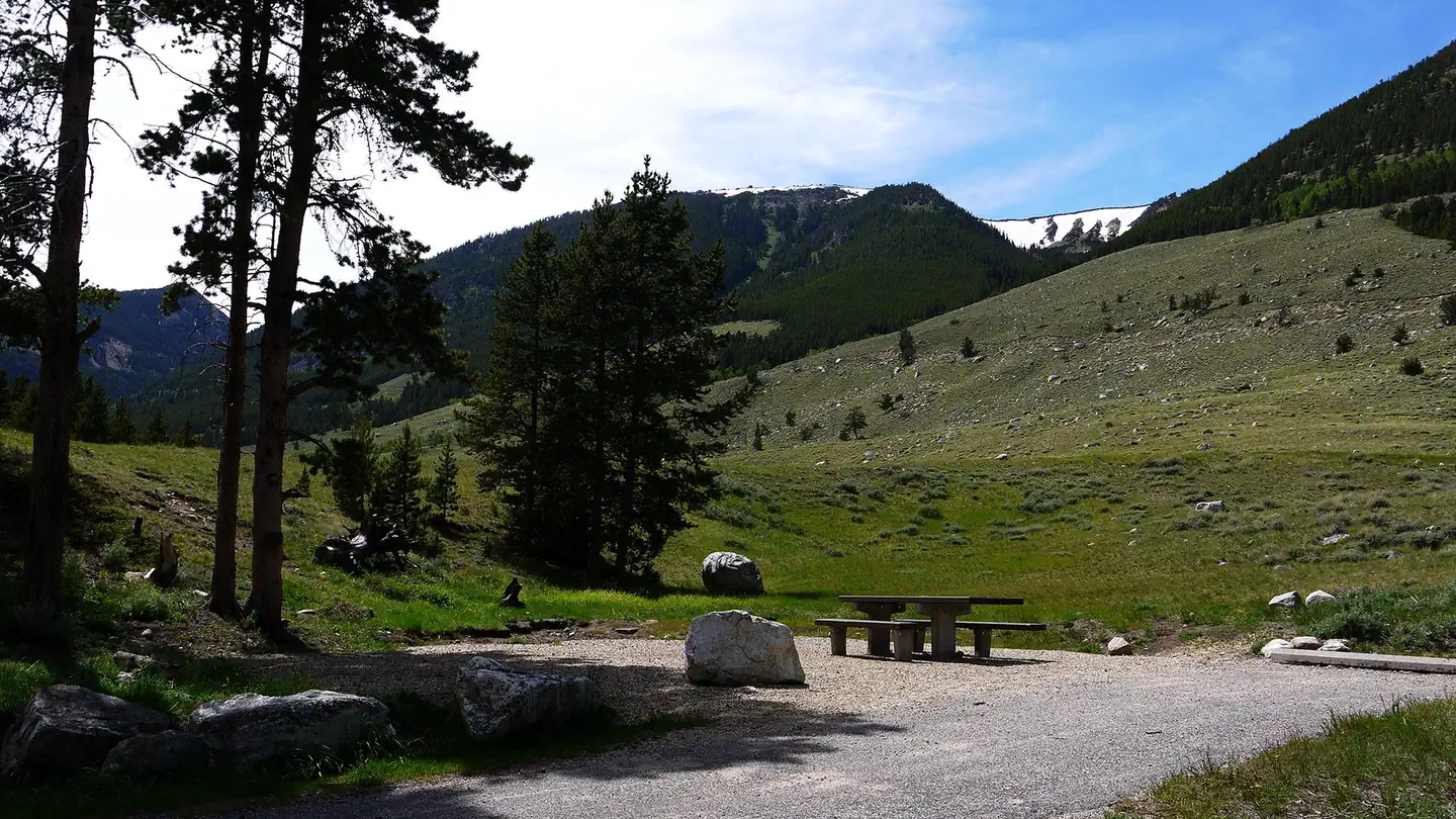
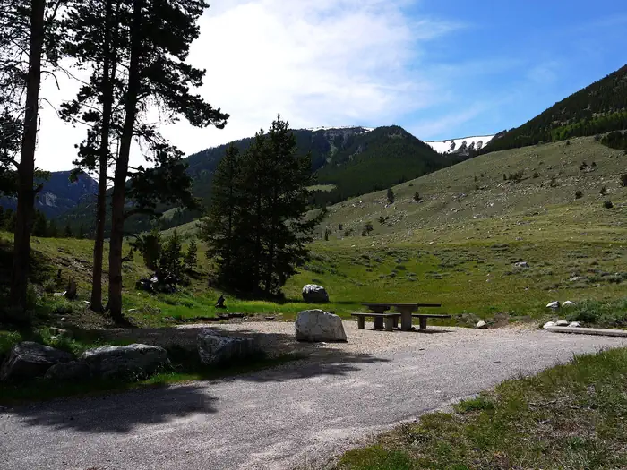
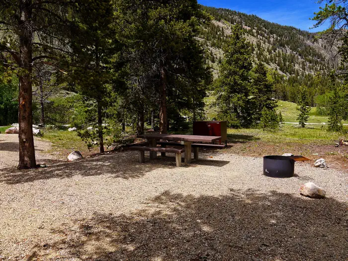
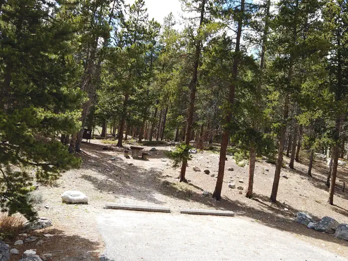
Overview Limber Pine Campground is located 12 miles south of Red Lodge, in southern Montana. It is just off the scenic Beartooth Highway. The area is a popular location for fishing, hiking and scenic driving. Greenough Lake is a half-mile away. Glacier Lake, Hellroaring and Lake Fork trailheads are nearby. Recreation The Main Fork of Rock Creek and nearby 5-acre Greenough Lake offer rainbow trout fishing. The lake is also open to canoeing and kayaking. The Beartooth Wilderness can be accessed nearby, via the Hellroaring and Lake Fork trailheads. Visitors also enjoy mountain biking and hiking on the Parkside National Recreation Trail. Hellroaring Road is open to off-road vehicles. Facilities The campground offers single-family campsites. Each site is equipped with a picnic table and campfire ring. Accessible vault toilets and hand-pumped drinking water are provided. Trash can be deposited in receptacles at the Greenough Lake Campground. Natural Features The campground sits in the shadow of the Beartooth Range on the banks of Rock Creek. A forest of aspen and pine covers the area. A variety of wildlife, including grizzly bears, deer and elk, makes its home in the surrounding area. Contact Info For facility specific information, please call (928) 537-8888. Nearby Attractions The charming town of Red Lodge, Mont., offers a variety of dining and lodging options, galleries, shops and annual summer events. The Home of Champions Rodeo is held on Fourth of July weekend, Beartooth Bike Rally and Iron Horse Rodeo take place in mid-July, the Mountain Man Rendezvous is in late July and the Festival of Nations happens in early August. The Beartooth Highway was deemed "the most beautiful drive in America," by the late Charles Kuralt. It snakes across the rugged Beartooth Mountains from Red Lodge to Cooke City. It is the highest elevation highway in the Northern Rockies. Along the way, visitors are treated to sweeping views and plentiful opportunities for outdoor recreation. Yellowstone National Park's northeast entrance is 55 miles from the campground, via the Beartooth Highway. The park offers unparalleled wildlife viewing opportunities, as well as breathtaking scenery and unique geological features. Charges & Cancellations Refunds: Refund requests made through www.recreation.gov will be charged a $10 processing fee. This cancellation processing fee is retained by the reservation service contractor along with the non-refundable reservation fee. All requests for the return of the non-refundable reservation fee and the cancellation processing fee will be declined by the campground concessionaire as they did not receive these fees (these are the fees retained by the reservation contractor, a different entity).
From the managing agency.
Is LIMBER PINE free?
No. LIMBER PINE charges a fee.
How do I get to LIMBER PINE?
LIMBER PINE is at 45.0583, -109.4122. We do not hold written directions for this one, so navigate to the coordinates.
Nearby
SourceSource data is agency published. Last synced September 19, 2026. Community reports and photos are submitted by travelers and are not verified by the agency.
