
LAKE INEZ POINT 6 (GROUP CAMP SITE)
Campground · Fee not listed
Fast facts
- Cost
- Not listed. Check locally.
- Type
- Campground
- Phone
- 406-677-2233
- Coordinates
- 47.2917, -113.5644
- Last verified
- September 19, 2026


About this place
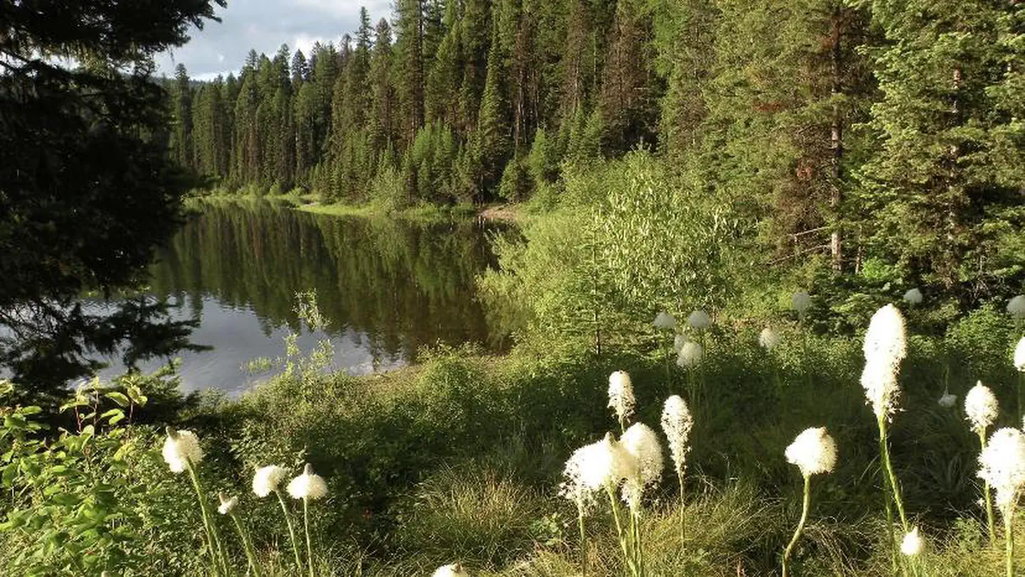
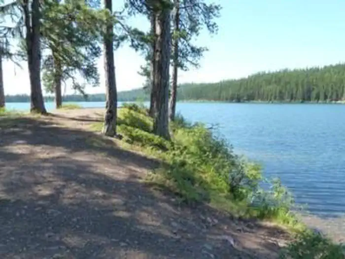
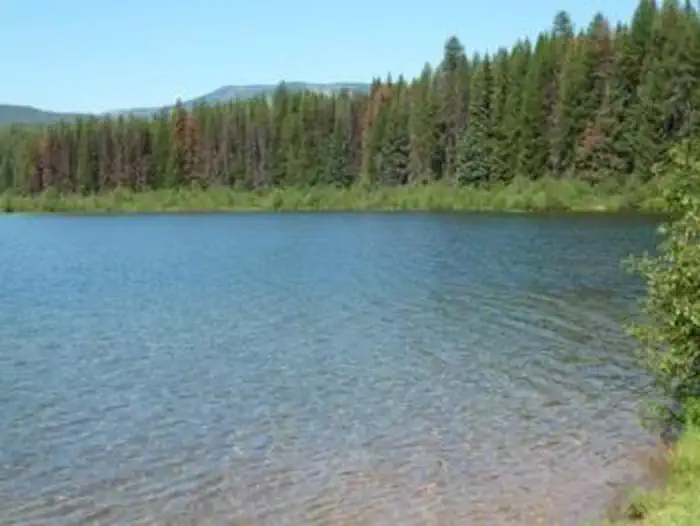
Overview Lake Inez Campground sits on the eastern shore of Lake Inez, a glacial-formed lake situated in a valley between the Swan and Mission Mountain ranges. Lake Inez is one of a half-dozen lakes within the valley known as the 'Chain of Lakes' through which the Clearwater River flows. The area is a popular for a variety of water-related recreation opportunities including motorized and non-motorized boating, fishing, paddling, swimming, and water skiing. Recreation • Lake Inez is a popular for boating, jet skiing and fishing; however, the available boat ramp is primitive and not paved. Non-motorized boating and swimming are also available and usually done away from high traffic watercraft use. Anglers can expect to see a variety of fish, from salmon to suckers, to pike, trout and perch. • The campground is just a few miles north of the Clearwater Canoe Trail which offers excellent flat water for viewing wildlife such as blue herons and river otters. The water trail is popular with canoeists and kayakers as it stretches 3.5 miles, or a couple of hours, down the river. • The Morrell Falls National Recreation Trail on the East side of the valley offers an incredible day hike exploring recent burns, dense forests, and a large waterfall. Facilities The group site is the only campsite available for reservations at the campground. It is avaliable for reservation the Friday before Memorial Day to the Tuesday after Labor Day, when the campsite gate closes for the season. 5 individual sites are available on a first-come, first-served basis. The site is equipped with tables and campfire rings with grills. Accessible vault toilets are provided, however drinking water and trash collection are not provided. Natural Features The small campground sits along the eastern shore of 314-acre Lake Inez. A dense conifer forest limits the visibility of the lake, but affords privacy between campsites. Plentiful shrubs and undergrowth give the 4,100-foot elevation campground beautiful colors during the fall. Nearby Attractions • Seeley Lake, Montana is the closest town and is about a 10-minute drive from the campground. A variety of services including gas, groceries, restaurants, boat rentals, guides and resorts can be found in town. Access to a variety of forests, sweeping views, mountain lakes, and rugged peaks can be discovered just a short drive up any of the nearby Forest Service roads. • Just a day trip away, Glacier National Park is known for a variety of opportunities to explore alpine landscapes, active glaciers, and view unique wildlife. Contact the park for current conditions. • About an hour away, Missoula is one of Western Montana’s outdoor recreation hubs. Missoula is a full-service city with 2 hospitals, an international airport, and access to services, hotels, and outdoor activities
From the managing agency.
Is this site free?
We do not have a fee on record for this site. Confirm the cost locally before you go.
How do I get to this site?
this site is at 47.2917, -113.5644. We do not hold written directions for this one, so navigate to the coordinates.
Nearby
- Lake Inez Campground0.3 mi
- Lakeside Cg (Old Alva)1.1 mi
- Lakeside Lolo Campground (MT)2.0 mi
- Lake Alva Campground Complex2.4 mi
- Lake Alva Campground2.4 mi
- Seeley Lake Campground Complex7.1 mi
- Seeley Lake Lolo Campground (MT)7.2 mi
- BIG LARCH CAMPGROUND7.6 mi
No other services within 50 mi on the record.
SourceSource data is agency published. Last synced September 19, 2026. Community reports and photos are submitted by travelers and are not verified by the agency.
