
HUNTER PEAK
Campground · Fee not listed
Fast facts
- Cost
- Not listed. Check locally.
- Type
- Campground
- Phone
- 307-527-6921 - THIS NUMBER IS NOT FOR RESERVATIONS. FOR RESERVATION OR INQUIRIES ABOUT RESERVATION STATUS, GO TO RECREATION.GOV 1-877-444-6777
- Coordinates
- 44.8847, -109.6544
- Last verified
- September 19, 2026
About this place
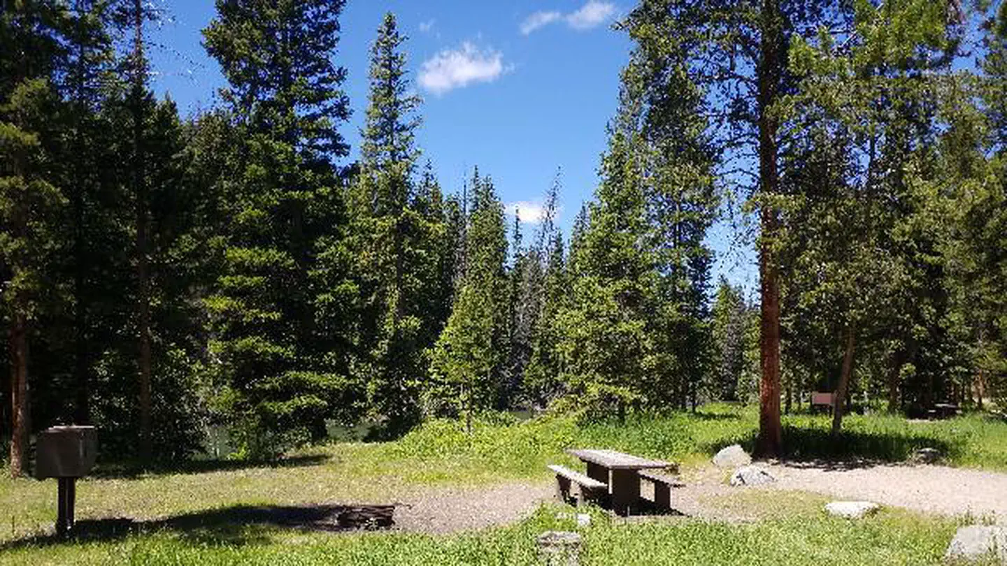
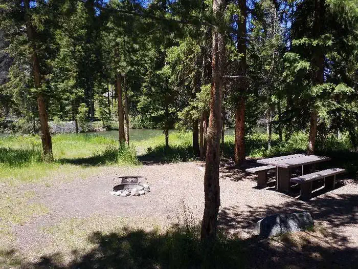
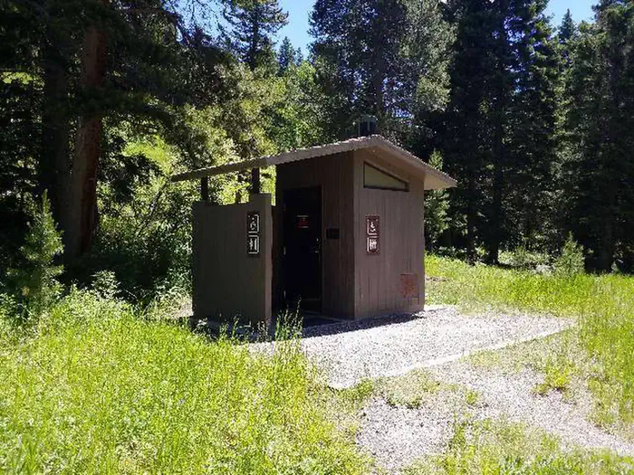
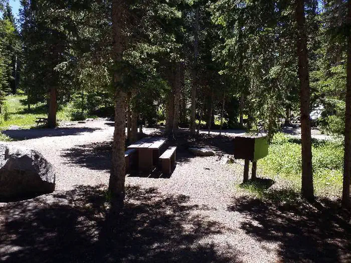
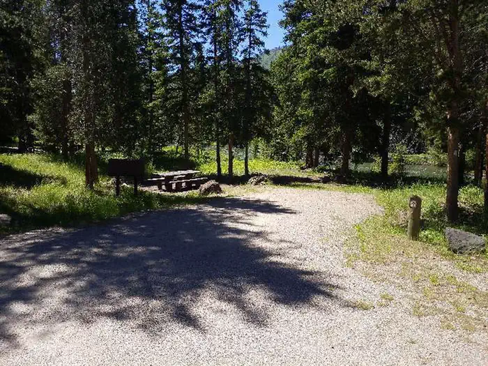
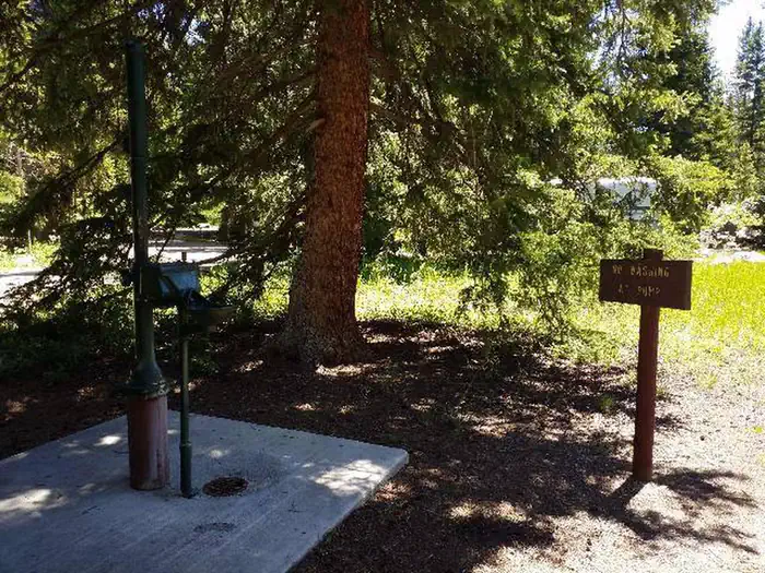
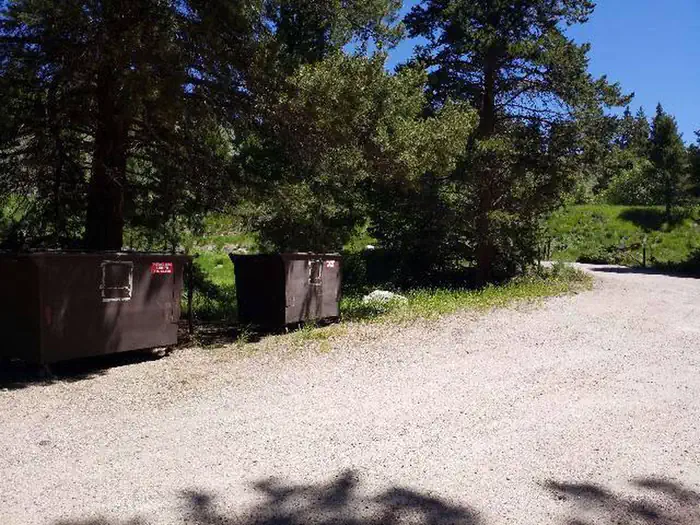
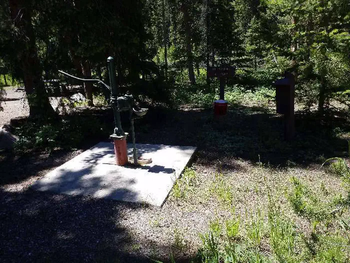
Overview Hunter Peak Campground is located on the Chief Joseph Scenic Highway/State Highway 296, approximately four miles south of the junction with scenic Beartooth Highway/U.S. Highway 12. The campground is about 60 miles northeast of Cody, in northwestern Wyoming. Recreation The Clarks Fork offers outstanding fishing opportunities for rainbow and cutthroat trout. Many hiking trails are located in the area, including the Clarks Fork Trailhead, which is across the highway from the campground. Facilities This small campground contains single-family campsites, each equipped with a table and campfire ring. Vault toilets, hand-pumped water, and trash collection are provided. A host is on-site. Firewood may be gathered in the area. Fuel and sundries are available in the nearby community of Crandall. Sites 5, 6, 7, and 8 are available for reservation. Please click on the "Check Availability" button for more information. Natural Features The campground sits on the banks of the Clarks Fork of the Yellowstone River, at an elevation of 6,500 feet. A mixed conifer forest covers the campground. A variety of wildlife, including grizzly bear, deer and elk makes its home in the area. Nearby Attractions The Beartooth Highway was deemed "the most beautiful drive in America," by the late Charles Kuralt. It snakes across the rugged Beartooth Mountains from Red Lodge to Cooke City, Mont., and is the highest elevation highway in the Northern Rockies. Along the way, visitors are treated to sweeping views and plentiful outdoor recreation opportunities. Yellowstone National Park's northeast entrance is approximately 24 miles from the campground via the Beartooth Highway. The park offers unparalleled wildlife viewing opportunities, as well as breathtaking scenery and unique geological features.
From the managing agency.
Is HUNTER PEAK free?
We do not have a fee on record for HUNTER PEAK. Confirm the cost locally before you go.
How do I get to HUNTER PEAK?
HUNTER PEAK is at 44.8847, -109.6544. We do not hold written directions for this one, so navigate to the coordinates.
Nearby
- Hunter Peak Campground0.0 mi
- Lake Creek Campground3.6 mi
- Lily Lake Campground5.1 mi
- Beartooth Lake Campground5.3 mi
- Island Lake Campground6.8 mi
- Crazy Creek Campground7.1 mi
- Fox Creek Campground10.8 mi
- Little Sunlight Campground11.9 mi
No other services within 50 mi on the record.
SourceSource data is agency published. Last synced September 19, 2026. Community reports and photos are submitted by travelers and are not verified by the agency.
