
CAVE POINT GROUP USE AREA
Campground · Fee not listed
Fast facts
- Cost
- Not listed. Check locally.
- Type
- Campground
- Phone
- 406-475-3921
- Coordinates
- 46.6474, -111.7022
- Last verified
- September 19, 2026
About this place
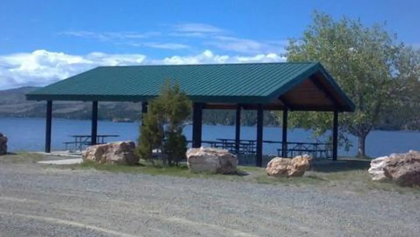
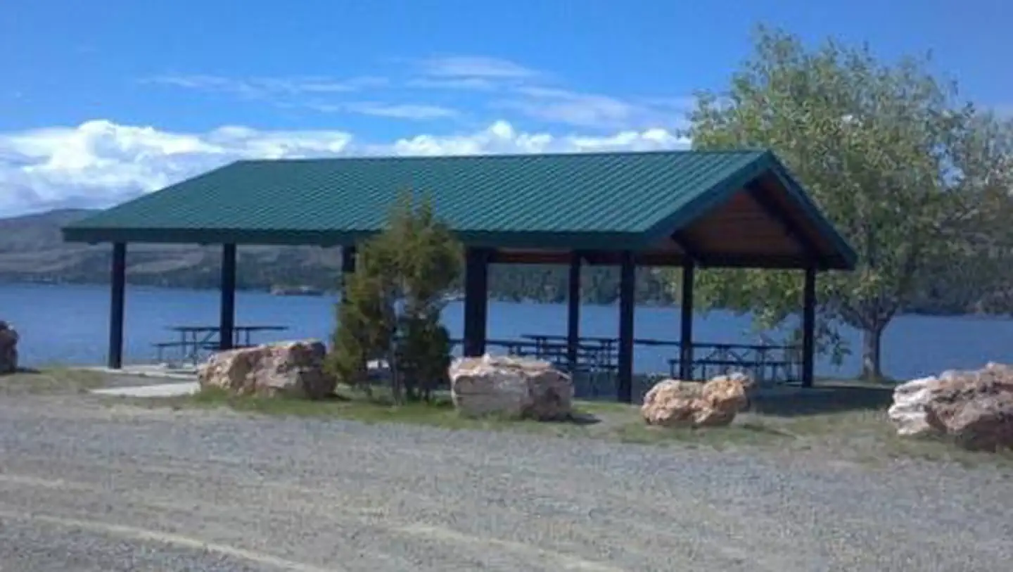
Overview Cave Point Group Use Shelter is located at the very north end of Canyon Ferry Reservoir, 30 miles east of Helena, Montana, along Highway 284. Cave Point offers year-round access to a wide range of recreational opportunities. The Canyon Ferry area has a rich mining history. Cave Point is named for one of the first settlements in the area, Cavetown. Visitors to the shelter can envision the original horse drawn ferry crossing that transported miners across the mighty Missouri River to work the mining camps. Recreation Canyon Ferry Reservoir offers a wide range of year-round recreational opportunities. Water related activities include everything from swimming and fishing to sailing and motor-boating. Canoeists and kayakers explore the many quiet backwater bays. Jet skiers, windsurfers and water skiers skim the summer waves, while winter draws ice fishermen, ice boaters and skaters. Facilities Cave Point Group Use Shelter is a small 30' X 36' shelter with six picnic tables and an accessible vault toilet and can accommodate up to 50 people. Access is shared with a road through Kim's Marina. Natural Features Cave Point Group Use Shelter sits at the north end of Canyon Ferry Reservoir between the Big Belt and Elkhorn Mountain ranges. Contact Info For facility specific information, please call (406) 475-3920.
From the managing agency.
Is CAVE POINT GROUP USE AREA free?
We do not have a fee on record for CAVE POINT GROUP USE AREA. Confirm the cost locally before you go.
How do I get to CAVE POINT GROUP USE AREA?
CAVE POINT GROUP USE AREA is at 46.6474, -111.7022. We do not hold written directions for this one, so navigate to the coordinates.
Nearby
- Chinamen's Campground0.5 mi
- COURT SHERIFF CAMPGROUND0.8 mi
- Jo Bonner Campground 0.9 mi
- Riverside Campground1.7 mi
- Hellgate Campground3.6 mi
- Bar Gulch Cabin5.0 mi
- Clark's Bay Day Use Area Shelter (MT)6.3 mi
- Devil's Elbow Campground6.3 mi
No other services within 50 mi on the record.
SourceSource data is agency published. Last synced September 19, 2026. Community reports and photos are submitted by travelers and are not verified by the agency.
