
APGAR GROUP SITES
Campground · Fee not listed
Fast facts
- Cost
- Not listed. Check locally.
- Type
- Campground
- Phone
- 406-888-7800
- Coordinates
- 48.5250, -113.9836
- Last verified
- September 19, 2026
About this place
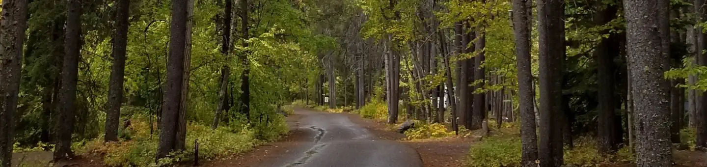
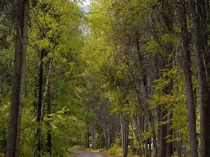
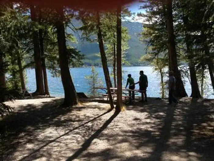
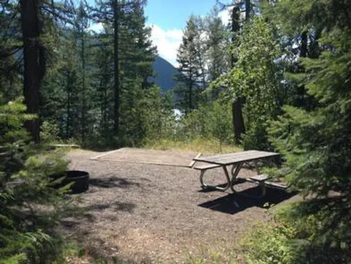
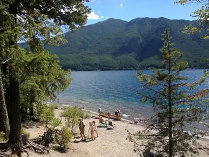
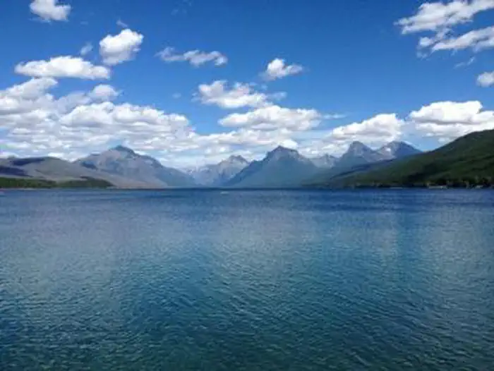
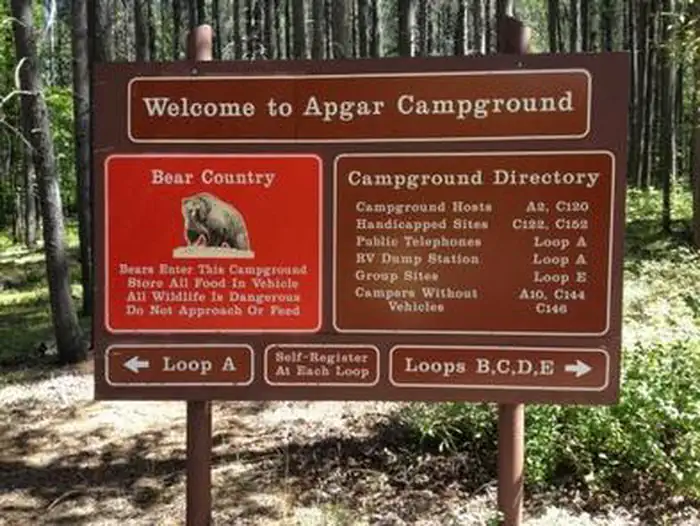
Overview Apgar Campground is situated on the southern tip of Lake McDonald in beautiful Glacier National Park in northwestern Montana. Pristine forests, alpine meadows, rugged mountains and spectacular lakes are found throughout the park. With over 700 miles of trails, Glacier is a paradise for hikers seeking wilderness and solitude. It also provides countless scenic vistas for those wishing to relax and take in the natural beauty of the park. All sites require a reservation. Most sites have a 6-month booking window with a good handful having a 4-day booking window. Recreation Lake McDonald provides great opportunities for boating, water skiing, canoeing and fishing in its cold mountain waters. A variety of fish are found in the lake, including cutthroat, rainbow, bull and lake trout, whitefish and Kokanee salmon. The campground is conveniently close to many trailheads for day hikes, including Apgar Lookout Trail, a 3.3-mile (5.3 km) trail leading up to a fire lookout with breathtaking views of Lake McDonald. The Apgar Bike Path, a paved 1.5-mile (2.4 km) trail popular for walking and biking, leads to the nearby Apgar Visitor Center and Village. Horseback ride reservations, boat rentals, shuttle service and Red Bus Tour reservations are available here. One of the most amazing highlights of Glacier National Park is a drive on the Going-to-the-Sun Road, which travels past the campground. This engineering marvel spans 50 miles (80 km) through the park's wild interior, winding around mountainsides and treating visitors to some of the best sights in northwest Montana. Facilities Apgar is the largest campground in Glacier National Park. It offers 5 reservable group sites that accommodate 9-24 people each. Apgar Village is just minutes away, offering a visitor center, gift shops, a general store and casual restaurant. Amenities within the campground include flush toilets and drinking water. Picnic tables and fire rings are provided, and a campground host is on-site. Ranger programs are held nightly at the amphitheater. Lake McDonald is just a short stroll from the campground. Natural Features Apgar is located in a dense forest on the western side of the park at an elevation of nearly 3,500 feet (1067 m). This area of the park generally receives the most rainfall. Daytime temperatures can exceed 90 degrees, although it is frequently 10 to 15 degrees cooler at higher elevations. Weather in the mountains can be varied, including snow in summer. Visitors should come prepared for anything. The park is named for its prominent glacier-carved terrain and remnant glaciers descended from the ice ages almost 10,000 years ago. Its diverse habitats are home to nearly 70 species of mammals including the grizzly bear, wolverine, gray wolf and lynx. Over 270 species of birds visit or reside in the park, including such varied species as Harlequin ducks, Dippers and Golden eagles. Nearby Attractions One must-see attraction is Waterton Lakes National Park, Glacier's sister park across the Canadian-U.S. border. As the other half of Waterton-Glacier International Peace Park, Canada's Waterton Lakes National Park offers great hiking, scenic boat cruises and several scenic drives all centered around the townsite of Waterton.
From the managing agency.
Is APGAR GROUP SITES free?
We do not have a fee on record for APGAR GROUP SITES. Confirm the cost locally before you go.
How do I get to APGAR GROUP SITES?
APGAR GROUP SITES is at 48.5250, -113.9836. We do not hold written directions for this one, so navigate to the coordinates.
Nearby
- Apgar Campground0.0 mi
- FISH CREEK CAMPGROUND1.6 mi
- Fish Creek Campground1.7 mi
- Sprague Creek Campground7.2 mi
- Big Creek Campground (flathead Nf, Mt)9.7 mi
- Big Creek Campground (Flathead National Forest, MT)9.7 mi
- Avalanche Campground12.9 mi
- EMERY BAY CAMPGROUND13.4 mi
No other services within 50 mi on the record.
SourceSource data is agency published. Last synced September 19, 2026. Community reports and photos are submitted by travelers and are not verified by the agency.
