
TWILTLEY BRANCH
Campground · Fee not listed
Fast facts
- Cost
- Not listed. Check locally.
- Type
- Campground
- Phone
- 601-626-8068
- Coordinates
- 32.4958, -88.8097
- Last verified
- September 19, 2026
About this place
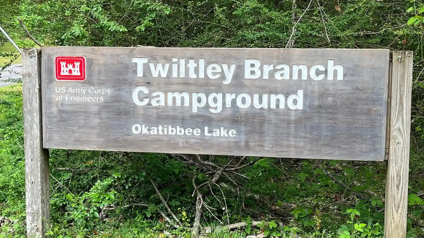
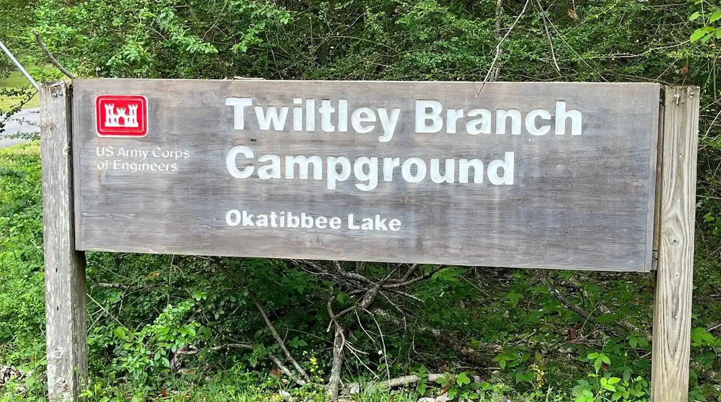
Overview Twiltley Campground is the only full-service campground managed by the Corps of Engineers at Okatibbee Lake, a 11,000 acre multi-purpose recreation area in eastern Mississippi. Recreation With eagles and hawks in the area, families will enjoy keeping an eye out for these magnificent birds. Water sports including fishing and water skiing are always popular on the lake; however, fishing from the banks also yields a good amount of crappie, bass and bream. Facilities With four boat ramps and three designated swimming areas, there's plenty of ways to enjoy the lake shore. Many sites have electric hookups and there's a pay phone onsite. Pets are allowed on a six (6) foot or shorter leash. Natural Features Okatibbee Lake boasts 4,000 acres of water surface in the Pascagoula River Basin. Extensive beaver flowages, stump beds and old creek channels provide abundant cover where anglers battle largemouth bass and crappie. Summers are hot and humid, with temperatures ranging from 70 to 98 degrees Fahrenheit. Nearby Attractions Explore Chicasawhay and Okatibbee Creeks upstream of the lake. The creeks flow through the Okatibbee State Wildlife Area.
From the managing agency.
Is TWILTLEY BRANCH free?
We do not have a fee on record for TWILTLEY BRANCH. Confirm the cost locally before you go.
How do I get to TWILTLEY BRANCH?
TWILTLEY BRANCH is at 32.4958, -88.8097. We do not hold written directions for this one, so navigate to the coordinates.
Nearby
- Collinsville Shelter (Okatibbee)0.5 mi
- West Bank Shelter (Okatibbee)1.3 mi
- East Bank Shelter (Okatibbee)2.0 mi
- Marathon Lake38.1 mi
- Marathon Lake Campground38.1 mi
- Shockaloe Trail Bc 244.6 mi
- Shockaloe Trail Bc 144.9 mi
No other services within 50 mi on the record.
SourceSource data is agency published. Last synced September 19, 2026. Community reports and photos are submitted by travelers and are not verified by the agency.
