
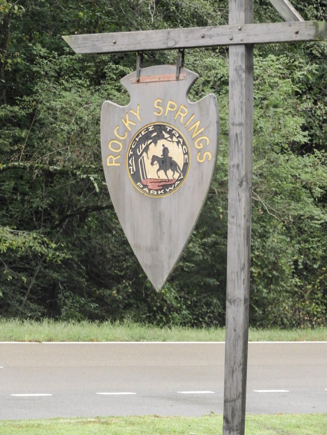
Rocky Springs Campground, Milepost 54.8
Campground · Fee
Fast facts
- Cost
- $0.00
- Type
- Campground
- Sites
- 22 total · 0 reservable · 22 first come
- Phone
- (662) 680-4027
- Coordinates
- 32.0874, -90.7988
- Last verified
- September 19, 2026
About this place
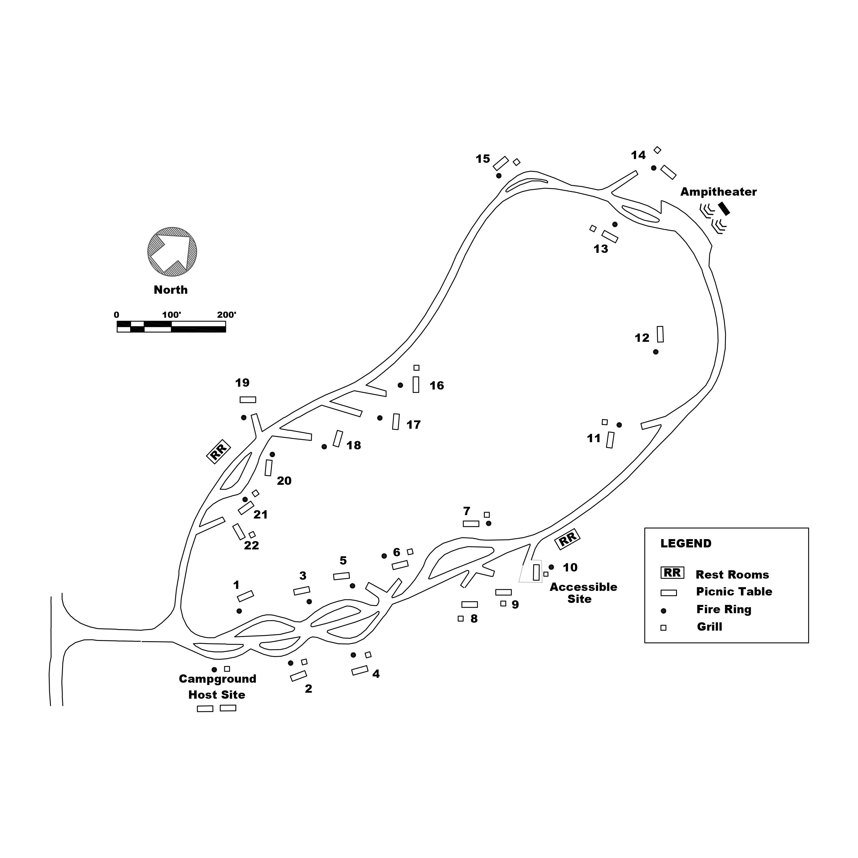
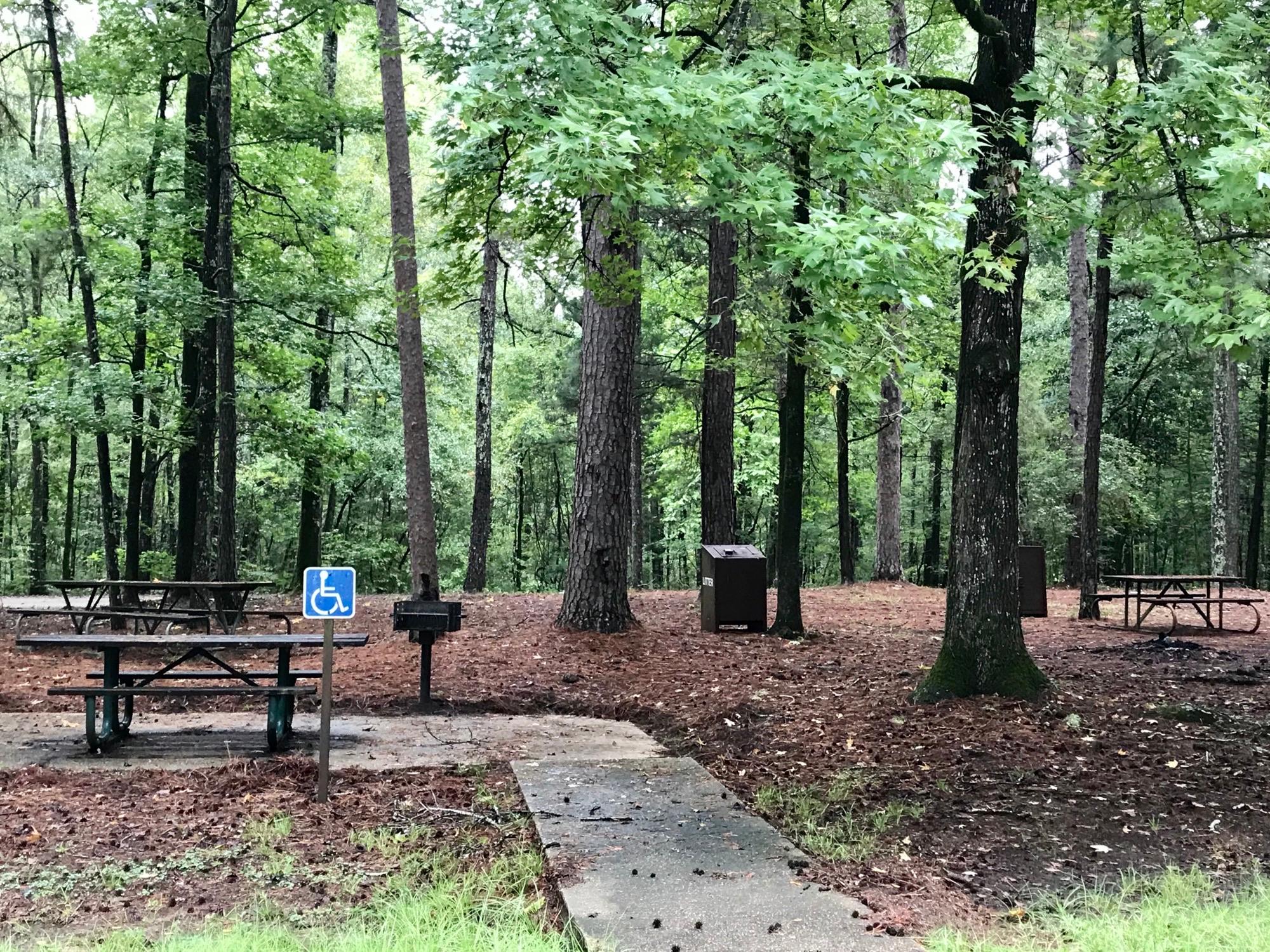
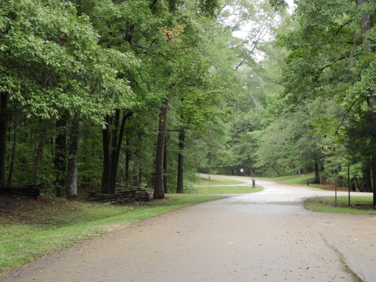
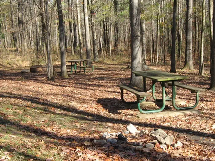
Rocky Springs Campground, milepost 54.8, on the southern end of the Parkway, includes a 22-site campground, picnic tables, intermittent restrooms, a section of the Old Trace, self-guiding walking trails through the old town site. Campground sites are on a first come first served basis, no reservations. Pull-through and back-in sites are available. Campgrounds are typically the busiest during the spring and fall, especially during holiday weekends. No potable water is available. Plan to be self-contained.
From the managing agency.
Is this site free?
No. this site charges $0.00.
Can I bring an RV to this site?
this site has 22 sites on record. 0 sites are reservable and 22 are first come.
How do I get to this site?
At mile post 54.8 exit off of the Natchez Trace Parkway. Take the first right to enter into the campground. Latitude: 32.08645 Longitude -90.79871
What is the weather like at this site?
Mississippi is classified as a humid subtropical climate, the weather ranges from mild winters to hot summers with high humidity between May and September. Average high temperatures reach into the high 80's in summer, and into the high 40's in winter. Thunderstorms are common in Mississippi, especially in the southern part of the state, and from June through November, the state is occasionally affected by hurricanes moving north from the Gulf of Mexico. Check local forecasts.
What are the rules at this site?
•Maximum Vehicle Length: 55 feet (including towing vehicle) •Maximum Vehicle Height: 14 feet •Maximum Stay: 14 days per calendar year •Campsites are first-come first serve •Camp only in designated areas •Connecting to utilities (water & electric) is prohibited •All vehicle tires must remain on pavement •Fires are permitted in personal or provided grills and fire rings only •Fires may be ignited and maintained only by using fuel sources designed and commonly used for warmth or food preparation; all other materials are prohibited •Only dead and down wood may be gathered for campfire use •All campfires must be completely extinguished when not attended •Maximum of 2 pets per site •Pets must always be on a leash no longer than 6 feet •Pets may not be left unattended tied to an object •Pet waste must be cleaned up and disposed properly •Digging or leveling of campsites is prohibited •Cutting of vegetation is prohibited •Garbage must be placed in garbage cans
Nearby
- Clear Springs Recreation Area46.6 mi
- Clear Springs Recreation Area (MS)46.6 mi
- DELTA NATIONAL FOREST - CAMPING46.8 mi
No other services within 50 mi on the record.
SourceSource data is agency published. Last synced September 19, 2026. Community reports and photos are submitted by travelers and are not verified by the agency.
