
North Abutment Day Use
Campground · Fee
Fast facts
- Cost
- Fee charged
- Type
- Campground
- Phone
- 662-226-1679
- Coordinates
- 33.8429, -89.7783
- Last verified
- September 19, 2026
About this place
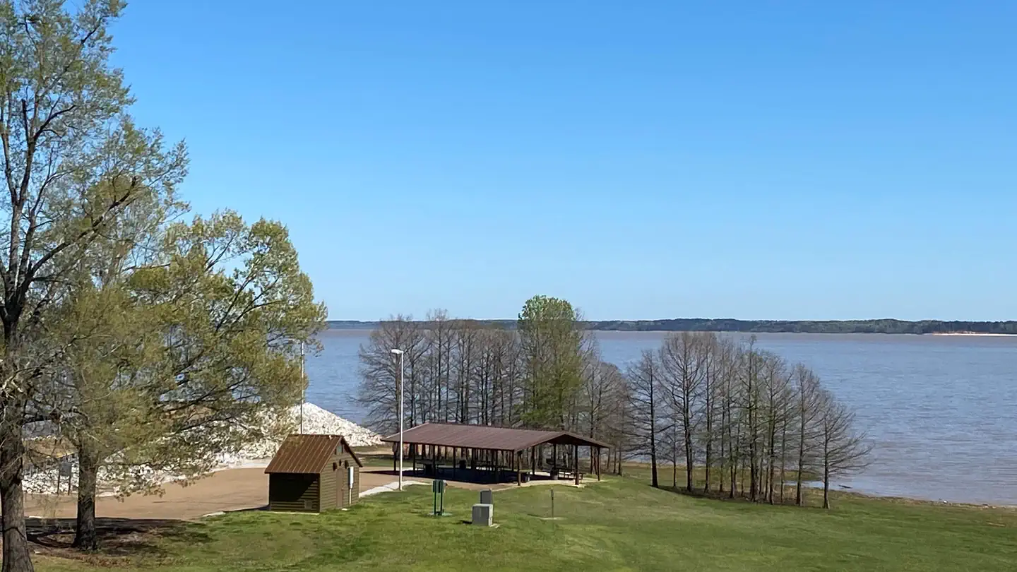
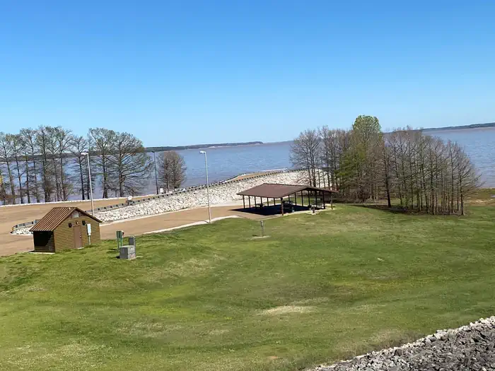
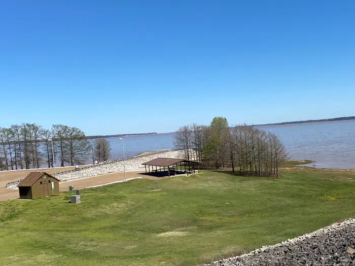
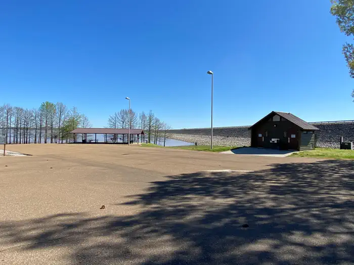
Overview North Abutment Pavilion is located on the North side of Grenada Lake's dam near North Abutment Campground. This pavilion is especially accommodating for those who want to bank fish while hosting their event. Recreation Recreation opportunities include boat launching, bank fishing and bike riding. Facilities There is a restroom near the pavilion. Natural Features North Abutment Pavilion is nestled in a beautiful nook on the North side of the dam. It's main attraction is the beautiful view of Grenada Lake. Nearby Attractions Nearby attractions include the Overlook, Old Fort Cannon Area, Lost Bluff Hiking Trail, and The Dogwoods Golf Course at Hugh White State Park.
From the managing agency.
Is North Abutment Day Use free?
No. North Abutment Day Use charges a fee.
How do I get to North Abutment Day Use?
North Abutment Day Use is at 33.8429, -89.7783. We do not hold written directions for this one, so navigate to the coordinates.
Nearby
- NORTH ABUTMENT0.4 mi
- Dam Area Central0.7 mi
- South Abutment B2.3 mi
- South Abutment A2.5 mi
- Eagle Point Campground3.0 mi
- Grenada Landing3.1 mi
- NORTH GRAYSPORT10.0 mi
- Ford's Well Day Use Area19.7 mi
No other services within 50 mi on the record.
SourceSource data is agency published. Last synced September 19, 2026. Community reports and photos are submitted by travelers and are not verified by the agency.
