
Hernando Point Pavilion
Campground · Fee
Fast facts
- Cost
- Fee charged
- Type
- Campground
- Phone
- (662)562-6261
- Coordinates
- 34.7324, -90.0678
- Last verified
- September 19, 2026
About this place
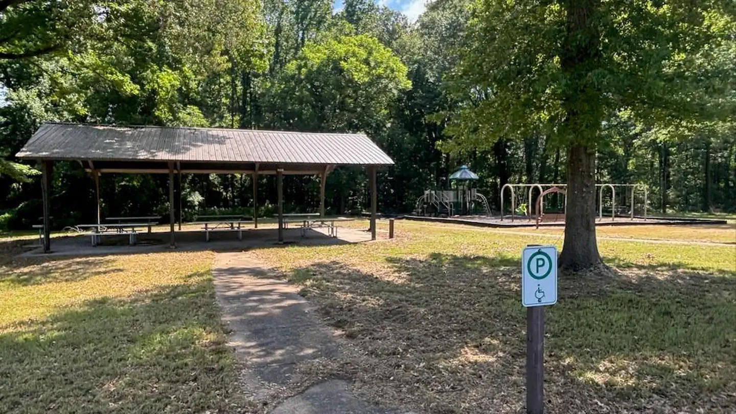
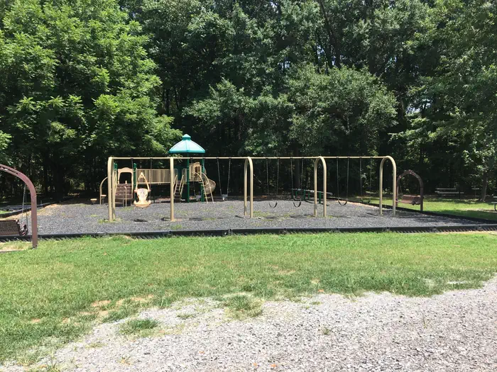
Overview Hernando Point Recreation Area sits along Arkabutla Lake and Dam in the hills of northwest Mississippi. Recreation Families come to Arkabutla Lake to enjoy the great outdoors. Wildlife management areas around Arkabutla Lake boast a combined 30,000 acres of public hunting lands where whitetail deer, wild turkeys, quail and waterfowl roam. Several trails wind around the lake and throughout the nearby landscape, the closest being the Area 51 trails at Hwy. 51 Landing which also provides Arkabutla's only current usable boat ramp. Hernando Point offers, camping, picnicking, fishing at a small, accessible pond in the area and several playgrounds. Facilities Hernando Point offers a year-round campground with 83 full hookup sites. The area also has one day-use pavilion, a small pond with fishing pier, multiple playgrounds, flush toilets, showers, and drinking water. The area's boat ramp is currently unusable due to lowered water levels in the lake. Natural Features The day use area is situated among rolling hills forested with a shady mixture of oak, hickory, beech, sweet gum and birch trees. The waterfront view has changed somewhat due to the lowered water level of Arkabutla Dam. Contact Info This location is unstaffed. To speak with our main office for general information, please call: (662) 292-1992. Nearby Attractions The Senatobia Wetlands project is just a 30-minute drive from the park. It provides visitors with educational displays and an area to observe wildlife and waterfowl. Charges & Cancellations Cancellations may be made up until the day before the day of reservation
From the managing agency.
Is Hernando Point Pavilion free?
No. Hernando Point Pavilion charges a fee.
How do I get to Hernando Point Pavilion?
Hernando Point Pavilion is at 34.7324, -90.0678. We do not hold written directions for this one, so navigate to the coordinates.
Nearby
- Hernando Point Campground0.1 mi
- Bayou Point Day Use3.0 mi
- South Abutment Pavilion3.6 mi
- Dub Patton Pavilion3.8 mi
- South Abutment Campground3.8 mi
- Dub Patton Campground3.9 mi
- Outlet Channel Day Use4.0 mi
- Oak Grove (MS)27.2 mi
No other services within 50 mi on the record.
SourceSource data is agency published. Last synced September 19, 2026. Community reports and photos are submitted by travelers and are not verified by the agency.
